20-ft Surf on Oregon Coast Prompts Advisory
Published 11/27/2016 at 5:13 PM PDT
By Oregon Coast Beach Connection staff
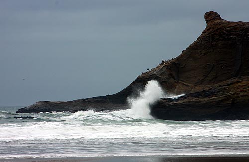
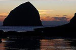
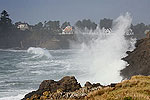
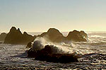
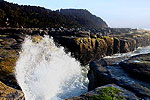
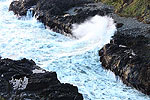
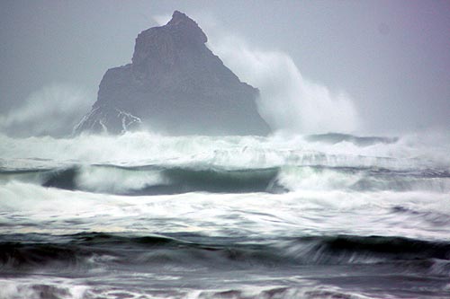
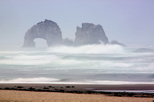
(Oregon Coast) – Big, spectacular but dangerous: that's what's in store for the Oregon coast Monday and Tuesday, as a high surf advisory is issued by the National Weather Service (NWS) in Portland. The advisory is in effect from noon Monday to 1 a.m. Tuesday, bringing 20-foot waves to beaches, and continuing with some fairly high waves through the week. (Above: Cape Kiwanda in a storm).
“Seas building to around 20 feet with a dominant period of 16 to 20 seconds Monday afternoon and evening,” the NWS said. “Energy will be out of the west, northwest.”
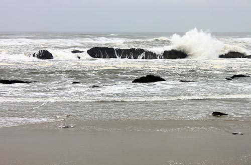
The NWS said the impacts of this kind of surf could include sizable beach erosion and large, dangerous sneaker waves. This is not a time to be out on most beaches of the Oregon coast.
“Sneaker waves run considerably higher up the beach than regular waves and can easily knock people and pets off their feet and drag them out to sea.”
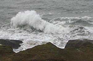 A “dominant period” in wave height for marine forecasts refers to the time between the largest waves. If the time is short, this generally means rougher conditions while at sea. But if it is a long period like the 16 to 20 seconds in this forecast, it means these waves are bigger when they hit the beach, and there will be more of the larger waves.
There are two different predictions coming from NWS about the rest of the week. One says seas will drop to around 10 feet after Tuesday night, but another indicates combined seas will remain up around 19 or 20 feet through Wednesday, then dropping to around a still-sizable 13 to 15 feet on Thursday and Friday.
Interestingly enough, there are some small minus tides coming up, mixed with fairly large high tides. Monday, Tuesday and Wednesday will see high tides around eight feet in many places around the Oregon coast – just before or after noon on those days. But there are tiny minus tides around 6 pm on Monday, and a bit later on Tuesday and Wednesday. Unfortunately, it will be dark by then.
The general weather forecast on Monday and Tuesday on the beaches is for a good amount of winds that can be uncomfortable at times, but mostly cloudy with some occasional sun breaks.
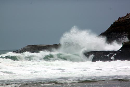
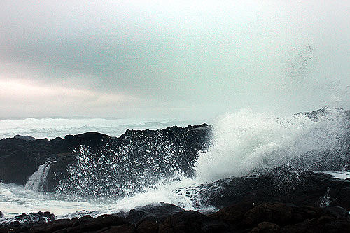
This means there should be large, spectacular waves from Monday through Wednesday, with the largest around noon on Monday and Tuesday. There will likely be somewhat big wave action through Friday, with rocky spots like Yachats, Depoe Bay, Cape Kiwanda and some areas south of Cannon Beach especially wild.
Stay off jetties at all times – no matter what the weather. During the high surf advisory for Monday, stay clear of smaller beaches like Hug Point, Gleneden Beach, Oceanside and parts of Newport and Lincoln City. Broader beaches may be safer, such as those at Seaside, Cannon Beach, Newport's Agate Beach and the larger sections of Lincoln City. See weather and tide tables. Oregon Coast Hotels for this - Where to eat - Maps - Virtual Tours
More About Oregon Coast hotels, lodging.....
More About Oregon Coast Restaurants, Dining.....
Cannon Beach Lodging
Nehalem Bay Lodgings
Manzanita Hotels, Lodging
Three Capes Lodging
Pacific City Hotels, Lodging
Lincoln City Lodging
Depoe Bay Lodging
Newport Lodging
Waldport Lodging
Yachats Lodging
Oregon Coast Vacation Rentals
Oregon Coast Lodging Specials
LATEST Related Oregon Coast Articles
Likely just before dawn best hour but peak happens during daylight. Weather
Dark Sky Week is Prime Along Oregon Coast: Where and Where Not to Go
General guide to dark sky viewing from south to north coast. Astronomy
Sizable Price Drop, Deals in Lincoln City During Quiet of April on Central Or...
20 perc off at A1 Vacation Rentals across its roster, including Gleneden Beach. Lincoln City specials
Upcoming S. Oregon Coast Events Include Gem Show, History: Coos Bay, Bandon
May 6 talk at Coos History Museum, Mayfly Fest May 17, Bandon Rock / Gem Show June 7,8
Washington Coast Cleanup on April 19 - Coinciding with Oregon Coast's SOLVE E...
From the Puget Sound to Long Beach, alongside Oregon's cleanup. Washington coast events, Seaside events
Astoria's Riverwalk Gets New Lighting, More N. Oregon Coast Roadwork
Delays coming this summer, but the riverwalk has a new look. Seaside, Cannn Beach
April Gets Even Cheaper Midweek at Depoe Bay, Lincoln City: Oregon Coast Deals
Off-season rates plus more at Keystone Vacation Rentals. Depoe Bay lodging specials, Lincoln City hotel reviews, Newport hotel reviews
Washington Coast Begins Week of Clam Digs, April 12 Through 18
Long Beach, Twin Harbors, Mocrocks and Copalis at different times. Washington coast events
Back to Oregon Coast
Contact Advertise on BeachConnection.net
All Content, unless otherwise attributed, copyright BeachConnection.net Unauthorized use or publication is not permitted


