Moderate Chances of Aurora / Northern Lights Over Washington / Oregon Coast. But Weather?
Published 08/17/22 at 5:48 PM PST
By Oregon Coast Beach Connection staff
Includes exclusive listings; some specials in winter
In Cannon Beach:
Includes rentals not listed anywhere else
In Manzanita, Wheeler, Rockaway Beach:
Some specials for winter
In Pacific City, Oceanside:
Some specials for winter
In Lincoln City:
Some specials for winter
In Depoe Bay, Gleneden Beach:
Some specials for winter
In Newport:
Look for some specials
In Waldport
Some specials for winter
In Yachats, Florence
Some specials for winter
Southern Oregon Coast Hotels / Lodgings
Reedsport to Brookings, places to stay; winter deals
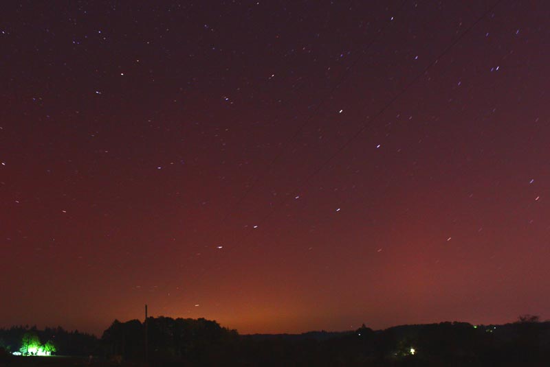
(Portland, Oregon) – [UPDATED 5:58 p.m.] --- It may be a moderate to slim chance of seeing the Aurora Borealis over the Washington coast and Oregon coast in the next 24 hours, but we here in the Pacific Northwest will take it. There is also the small matter of weather, which er...um...doesn't look that accommodating – until about Friday.
However, according to astronomy expert Jim Todd at Portland's OMSI, there has been a sizable set of CME's (coronal mass ejections) coming from the sun on August 14 and 15, the first of which are starting to hit now (Wednesday afternoon), during daylight hours. It's expected to keep battering the Earth through Friday night, which then leaves hope for those on the Washington coast or Oregon coast, and even Portland.
Todd offered numerous suggestions on finding the phenomenon.
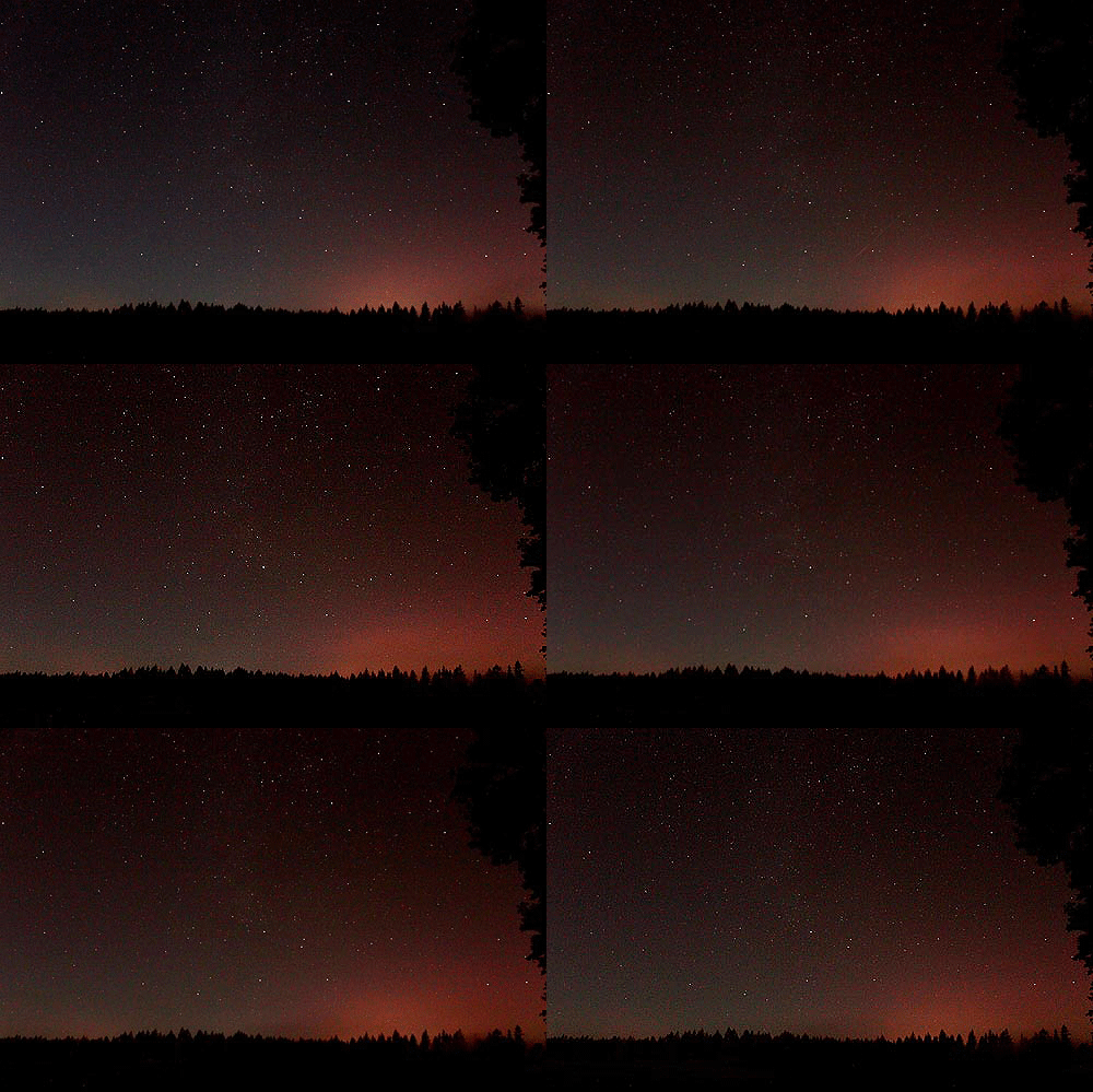
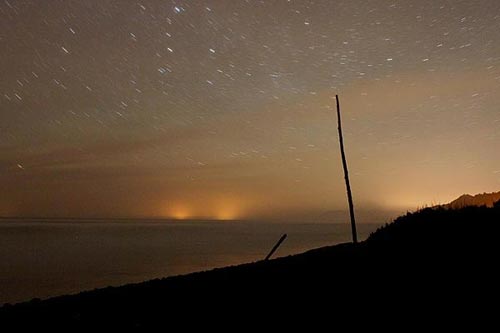
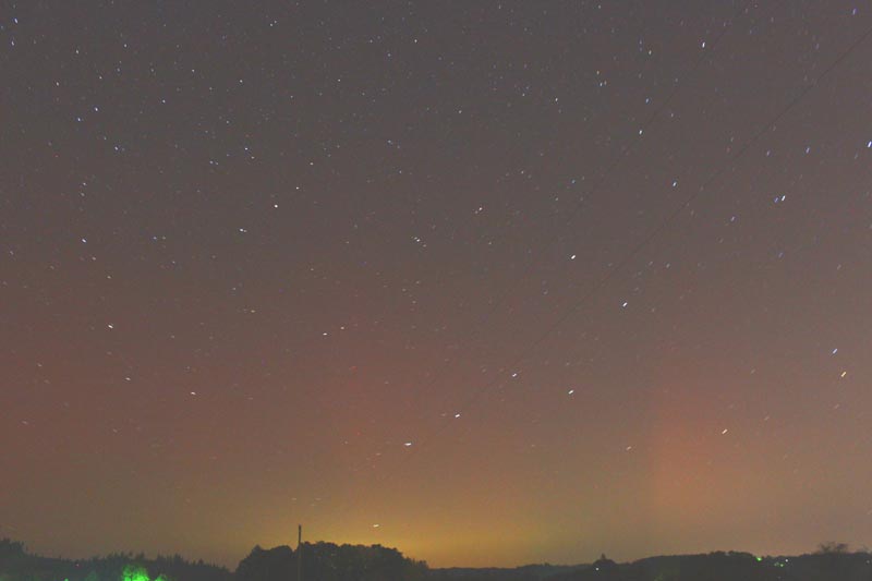
“Keep in mind, the strongest levels could be during the day, so timing and strength determines the night time visibility,” Todd said. “Best bet is to take a digital camera (DSLR or advance smartphones) on a tripod and take 3 to 5 seconds exposures towards the northern horizon. If the picture shows some shades of green to red curtain-like images, chances are the auroras are active. Sometimes the auroras low and faint above the northern horizon, not visible to the naked eye. Auroras can last for few minutes or few hours. Move away from city lights and find clear northern horizon to improve your chances to see the northern lights.”
Even though Oregon Coast Beach Connection is a publication about the Oregon coast and Washington coast, to be perfectly honest your best bets on photographing this in the next evening or two will be far inland, in central Washington or central Oregon – and eastward.
However, some of this is expected to last through August 19 – Friday – where conditions really start to open up later at night. The forecast for most areas of the south coast around Bandon or Coos Bay are still rainy or foggy in the evenings, and even on Friday it's mostly cloudy. Once you get farther up into the northern half of the Oregon beaches the evening clouds begin parting more on Friday, and it gets better heading into the Washington coastline for areas like Westport or Forks.
See Oregon Coast Weather - Washington Coast Weather
The solar flares coming off the sun are creating a Kp index G2 storm (geomagnetic storm), which makes for a slim to moderate chance of spotting the northern lights over the U.S. and Pacific Northwest.
You can see more up-to-the-minute space weather forecasts at the NOAA Aurora 30-min Forecast page.
According to National Oceanic and Atmospheric Administration (NOAA), the incoming waves of solar energy could be well be getting stronger on Thursday, then subside a little.
“An increase to active levels is expected, with G1 (Minor) geomagnetic storm conditions likely on 17 Aug as a recurrent, negative polarity CH HSS becomes geoeffective,” NOAA said on its site. “By early on 18 Aug, the CH HSS is expected to couple with the anticipated arrival of the 14-15 Aug CMEs, likely increasing activity to G3 (Strong) geomagnetic storm levels. G2 (Moderate) geomagnetic storm conditions will likely persist into 19 Aug as additional CMEs could impact Earth.”
MORE AURORA PHOTOS BELOW
Oregon Coast Hotels for this event - South Coast Hotels - Where to eat - Maps - Virtual Tours
Cannon Beach Lodging
Nehalem Bay Lodgings
Manzanita Hotels, Lodging
Three Capes Lodging
Pacific City Hotels, Lodging
Lincoln City Lodging
Depoe Bay Lodging
Newport Lodging
Waldport Lodging
Yachats Lodging
Oregon Coast Vacation Rentals
Oregon Coast Lodging Specials
More About Oregon Coast hotels, lodging.....
More About Oregon Coast Restaurants, Dining.....
 Andre' GW Hagestedt is editor, owner and primary photographer / videographer of Oregon Coast Beach Connection, an online publication that sees nearly 1 million pageviews per month. He is also author of several books about the coast.
LATEST Related Oregon Coast Articles
Sat. March 14 at the NCRD. Manzanita events, Nehalem events, Cannon Beach events
Oregon Coast Accessibility is Working, Winning Lincoln City Some Awards
Explore Lincoln City received Travel Oregon support for accessibility
Cannon Beach Comedy Festival Returns to Laugh It Up on North Oregon Coast
March 13 - 14 at the Coaster Theatre with an open mic. Cannon Beach events
Washington Coast Clam Digs Given Green Light in March
Long Beach, Twin Harbors, Copalis, and Mocrocks from March 17 through March 24. Washington events
Washington Coast Dealing with Three Dead Gray Whales and How They Died
Two bodies stranded at Ocean Shores, one swam upriver and died. Marine sciences
Now Begins the 'Season of Satellites' Above Oregon, Washington: Summer's Surr...
Not even counting meteors, these satellite trains can create wild colors and streaks in the sky. Astronomy, weather. Brookings events, Gold Beach events, Port Orford events, Coos Bay events, Bandon events, Florence events, Yachats events, Newport events, Lincoln City events, Rockaway Beach events, Manzanita events, Cannon Beach events, Seaside events, Astoria events
Oregon Coast Authorities Monitor Sea Lion with Rubber Band Around Its Neck
Newport: Considered a chronic but not immediately life-threatening injury. Marine sciences
Another Gray Whale Washes Up on Oregon Coast, at Seaside: Early Observations,...
The sixth in the NW in three weeks; early indications suggest it may have been undernourished. Marine sciences
Back to Oregon Coast
Contact Advertise on Oregon Coast Beach Connection
All Content, unless otherwise attributed, copyright Oregon Coast Beach Connection. Unauthorized use or publication is not permitted


