Big Thaw Finally Happens Around Oregon, Coast Range, Portland - Except Gorge
Published 1/21/24 at 8:55 p.m.
By Oregon Coast Beach Connection staff
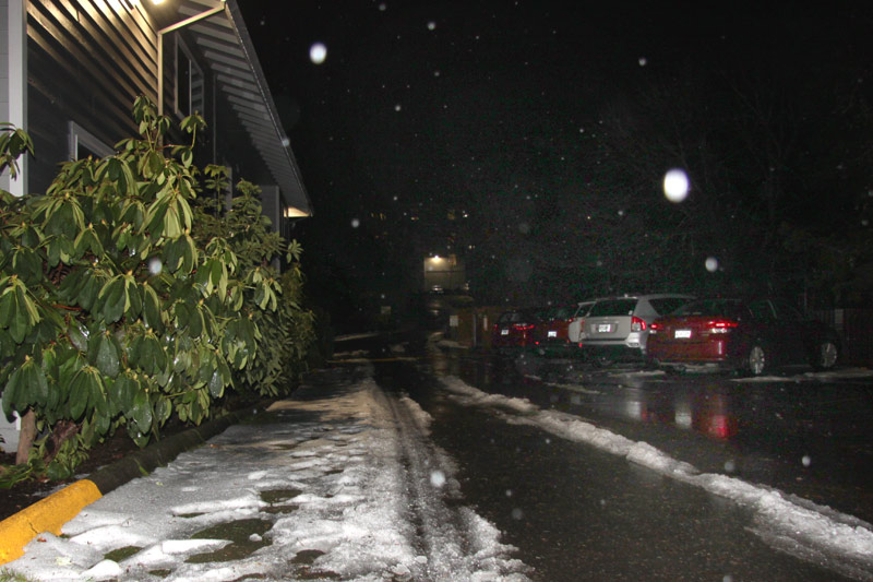
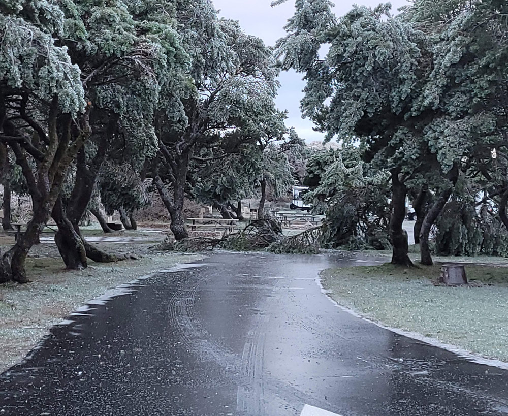
(Portland, Oregon) – Unhindered travel around most of Oregon and Washington is back, including through the Oregon Coast Range and all over Portland. However, parts of the Columbia Gorge are still staring down some ice storms and thawing there is slower than elsewhere. (Above: this spot in SW Portland was still covered in ice / snow 24 hours earlier. Photo Oregon Coast Beach Connection)
Includes exclusive listings; some specials in winter
In Cannon Beach:
Includes rentals not listed anywhere else
In Manzanita, Wheeler, Rockaway Beach:
Some specials for winter
In Pacific City, Oceanside:
Some specials for winter
In Lincoln City:
Some specials for winter
In Depoe Bay, Gleneden Beach:
Some specials for winter
In Newport:
Look for some specials
In Waldport
Some specials for winter
In Yachats, Florence
Some specials for winter
Southern Oregon Coast Hotels / Lodgings
Reedsport to Brookings, places to stay; winter deals
There is some potential for flooding, especially on the south Oregon coast, and some slightly larger wave height is headed for parts of the coastline, albeit briefly.
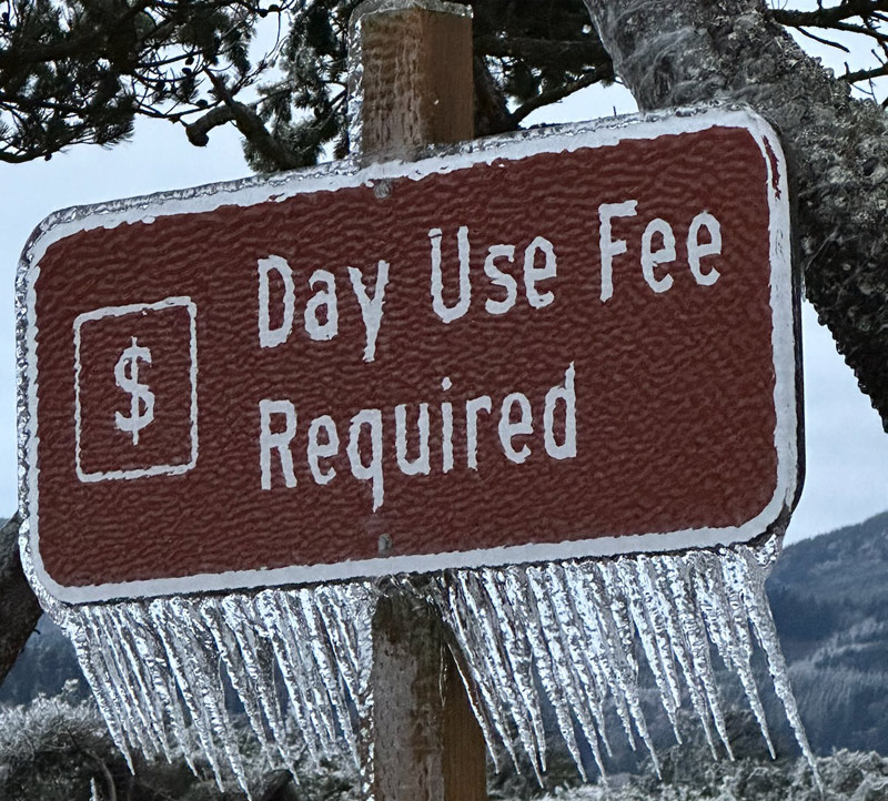
The National Weather Service (NWS) said an ice storm warning is in effect for parts of the Gorge until 10 a.m Monday. The Upper Hood River Valley, including the area around Hood River, is in for significant icing. Two tenths to half an inch of ice is on its way.
“Power outages and tree damage are likely due to the ice,” the NWS said. “Travel could be difficult. The hazardous conditions could impact the morning commute.”
On the southern Oregon coast, a long-duration atmospheric river event is headed for the areas of Coos Bay southward to the California border and Brookings. One to five inches of rain is coming over this weekend and could result in ponding and at the very least swollen riverbanks.
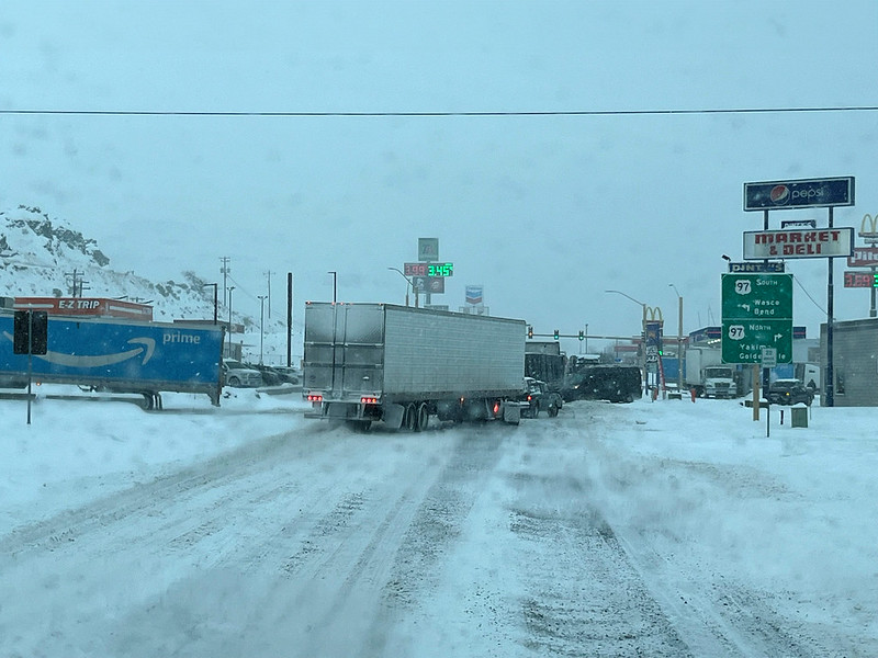
Photo ODOT: Biggs Junction in the Gorge this week
“Rainfall amounts are expected to be highest in southwestern Siskiyou, Josephine and Curry County,” the NWS said.
Salem has completely thawed out, but parts of Portland are still struggling a little to come out of the deep freeze. Even in Beaverton, side streets and many sidewalks are not yet completely clear, but at least temps have risen closer to 40 degrees, and Sunday has seen plenty of warmer rain to melt the majority of the snow.
In many areas of Washington County and west Multnomah County, an inch or two of ice that was there last night has melted away today into sporadic tracks on the surface.
“Temperatures continue to moderate across NW Oregon and SW Washington today, slower in the Portland metro area, Columbia River Gorge, and Hood River Valley,” the NWS said. “Elsewhere will see high temperatures around or slightly above normal for late January through the week.”
ODOT reports no major road issues around the state, and the Oregon Coast Range passes have almost completely cleared up.
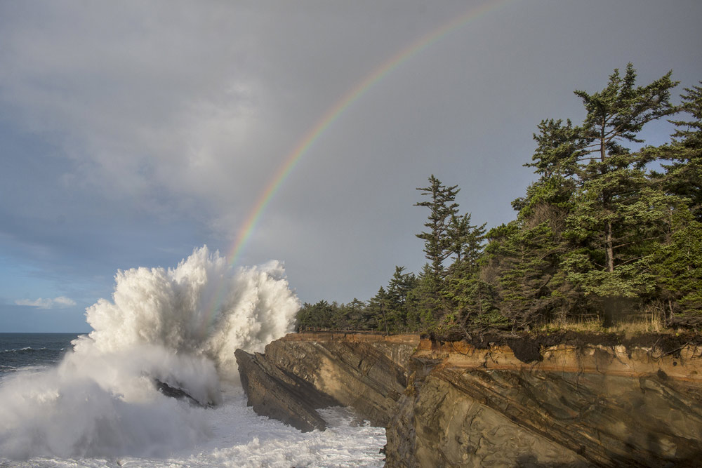
Shore Acres, courtesy Oregon's Adventure Coast
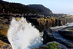
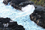
Offshore from the Oregon and Washington coast, wave height will rise to almost 14 feet in many areas, mostly south of Cape Blanco. This happens Sunday and Monday, then lowering down below ten feet on Tuesday. Wednesday and Thursday may bring higher waves again, which could create some good wave watching conditions in places like Yachats, Shore Acres or Oceanside.
Oregon Coast Hotels in this area - South Coast Hotels - Where to eat - Maps - Virtual Tours
Cannon Beach Lodging
Nehalem Bay Lodgings
Manzanita Hotels, Lodging
Three Capes Lodging
Pacific City Hotels, Lodging
Lincoln City Lodging
Depoe Bay Lodging
Newport Lodging
Waldport Lodging
Yachats Lodging
Oregon Coast Vacation Rentals
Oregon Coast Lodging Specials
Above: snow and ice in Nehalem Bay State Park last week, courtesy Oregon State Parks
More About Oregon Coast hotels, lodging.....
More About Oregon Coast Restaurants, Dining.....
 Andre' GW Hagestedt is editor, owner and primary photographer / videographer of Oregon Coast Beach Connection, an online publication that sees over 1 million pageviews per month. He is also author of several books about the coast.
LATEST Related Oregon Coast Articles
New Bus Routes to North Oregon Coast Begin in MayRunning from Tillamook to Astoria, departing Beaverton, including wheelchair lifts. Rockaway Beach events, Tillamook events, Manzanita events, Cannon Beach events, Seaside events, Astoria events
Search for Missing Teen Called Off After Involving Coast Guard from Washingto...
Two companions that tried to help also needed rescue at Long Beach. Beach safety, sciences
Oregon Coast Lighthouse Tours 2025: What's Open, What Isn't
Port Orford, Bandon, Florence, Newport, Oceanside, history, Coos Bay, Winchester Bay, Reedsport, Yachats, Seaside, Cannon Beach
Bright and Active Arietids Meteors May Hit Pre-Dawn Hours of Oregon, Washingt...
Look to east hour before sunrise and you may catch a show. Sciences, astronomy, weather
Road Work Coming to North Oregon Coast's Gearhart and One of World's Largest ...
Lane closures this summer on the bridge; major work in Gearhart next year. Washington coast
Winema Wayfinding Point or Pacific Crest Wayside: an Oregon Coast Puzzle
Between Neskowin and Pacific City sits a viewpoint with two names. Travel tips
Be Jeweled Returns to Central Oregon Coast, Newport's Dazzling, Arty Jewelry ...
Saturday, May 10, from 10 AM to 4 PM featuring more than 2,000 pieces. Newport events
Nehalem State Park Mostly Reopens, Other Oregon Coast Landmarks Follow Soon
Those at Bandon and near Depoe Bay are coming. Travel tips, hotels, camping
Back to Oregon Coast
Contact Advertise on Oregon Coast Beach Connection
All Content, unless otherwise attributed, copyright Oregon Coast Beach Connection. Unauthorized use or publication is not permitted


