'Chaotic Surf Zone' Until Thursday: NWS Advisories, Warnings for Washington / Oregon Coast
Published 12/26/23 at 5:05 a.m.
By Oregon Coast Beach Connection staff
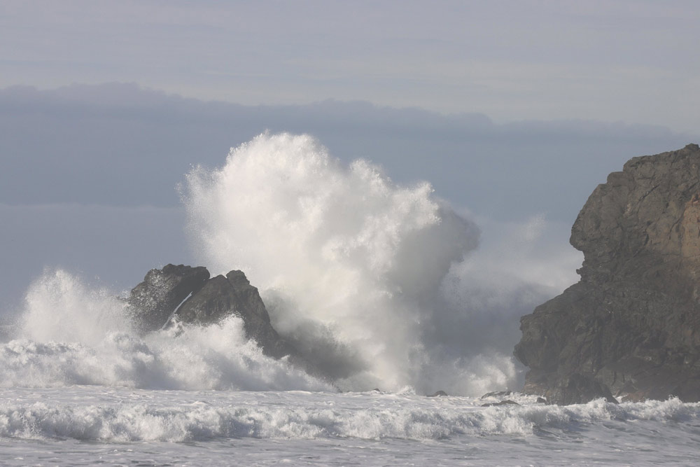
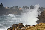
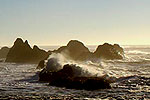
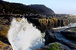
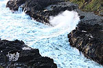
(Newport, Oregon) – Wherever you are on the south Washington coast or Oregon coast, it's going to be dangerous out there. The National Weather Service (NWS) has issued at least a couple of high surf advisories this week with more coming, where wave height more than 25 feet will be slamming beaches and creating some extremely dangerous sneaker waves, with king tides affecting some areas. (Photo Wanda Blanton-King Tides, Arizona Beach near Port Orford)
Includes exclusive listings; some specials in winter
In Cannon Beach:
Includes rentals not listed anywhere else
In Manzanita, Wheeler, Rockaway Beach:
Some specials for winter
In Pacific City, Oceanside:
Some specials for winter
In Lincoln City:
Some specials for winter
In Depoe Bay, Gleneden Beach:
Some specials for winter
In Newport:
Look for some specials
In Waldport
Some specials for winter
In Yachats, Florence
Some specials for winter
Southern Oregon Coast Hotels / Lodgings
Reedsport to Brookings, places to stay; winter deals
The NWS basically advises staying off the beaches, but it means rocky areas like Depoe Bay, Coos Bay's Shore Acres, Cape Disappointment or Yachats will be jammin'.
South Oregon Coast
A high surf advisory is in effect until 10 p.m. Thursday. Large breaking waves of 22 to 28 feet are possible. The range is from Reedsport down through Coos Bay, Bandon, Gold Beach and Brookings.
For that time period, you should stay off all jetties and stay clear of the surf zone. Most beach accesses that are close to populated areas on the south coast are fairly small, which makes all that beach a surf zone.
North Oregon Coast – South Washington Coast
The high surf advisory in this region expired this morning, but there will almost certainly be another issued Tuesday or Wednesday afternoon. The NWS is clear: these high surf conditions will continue through Thursday. The Portland office of the NWS called it a “chaotic surf zone,” and expects quite large waves to kick in again soon, as high as 27 feet.
Why the Big Waves and What's Next
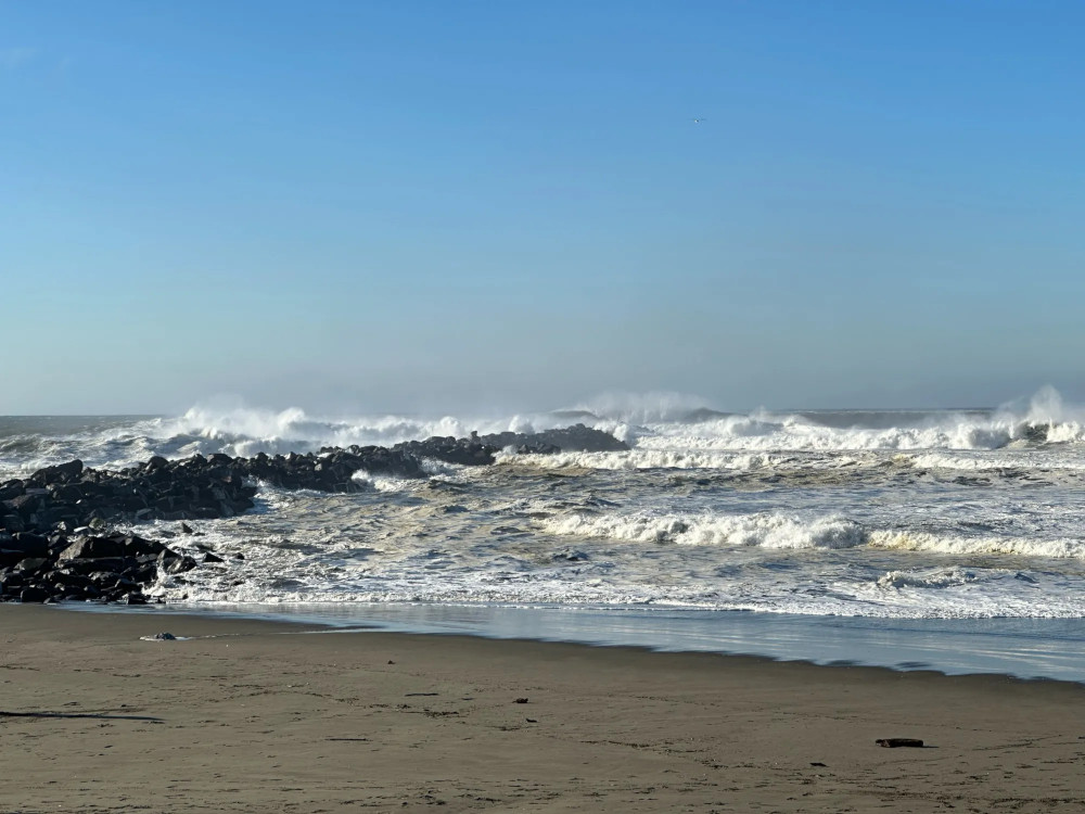
Ocean Shores - Washington King Tides by
Mike Decker
It's a prolonged period of gale force to storm force winds offshore on the north coast and Washington coast, which is driving another swell into these waters Wednesday. Even more dangerous: it's joined by a very long period between swells, which creates sneaker wave dangers.
“Latest wave guidance suggests seas will climb into the 23-25 ft range with a dominant period of 17 seconds Wednesday night,” the NWS said. “This same guidance also suggests 16-20 hour period of seas eclipsing 20 ft across the waters, mainly centered between 8 p.m. Wednesday and 2 p.m. Thursday. Seas should then subside and fall into the low teens on Friday.”
See Washington Coast Weather - Oregon Coast Weather
However, another storm system is lurking out there with plenty of winds, and they expect wave height offshore to hike into the teens over the weekend.
On the south Oregon coast, the tides have been coming in higher than normal, with .3' higher at Port Orford and over a foot more at Charleston, the NWS in Medford said. While they don't expect flooding, the chances of that are a bit more considering the tidal conditions.
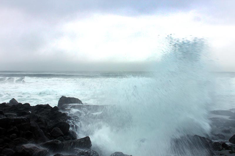
“Increasing the hazards of these breaking waves is the occurrence of King tides,” the NWS said. “These very high tides peaked early Monday but will continue higher than normal through Thursday.”
Surf is high enough that it may change from an advisory to a warning.
“The criteria for a high surf advisory is breaking waves of 22 to 27 feet,” the NWS said. “It is possible that Wednesday night into Thursday there could be breaking waves higher than 27 feet and so a high surf warning may be needed.”
Oregon Coast Hotels for this event - South Coast Hotels - Where to eat - Maps - Virtual Tours
Cannon Beach Lodging
Nehalem Bay Lodgings
Manzanita Hotels, Lodging
Three Capes Lodging
Pacific City Hotels, Lodging
Lincoln City Lodging
Depoe Bay Lodging
Newport Lodging
Waldport Lodging
Yachats Lodging
Oregon Coast Vacation Rentals
Oregon Coast Lodging Specials
More About Oregon Coast hotels, lodging.....
More About Oregon Coast Restaurants, Dining.....
 Andre' GW Hagestedt is editor, owner and primary photographer / videographer of Oregon Coast Beach Connection, an online publication that sees over 1 million pageviews per month. He is also author of several books about the coast.
LATEST Related Oregon Coast Articles
Long Beach, Twin Harbors, Mocrocks and Copalis at different times. Washington coast events
Central Oregon Coast's Beach, Bike 'n Blues Fest Resets Date to Sept 13
The day of Waldport events has moved again
Cannon Beach Will Whoop It Up Over Return of Puffins to North Oregon Coast - ...
April 13 in Cannon Beach, get help spotting tufted puffins. Cannon Beach events
Oregon Coast, Valley and Likely Washington Coast to Get Some Aurora Borealis ...
Likely just before dawn best hour but peak happens during daylight. Weather
Newport's Oregon Coast Jazz Party Announces 2025 Dates: Oct 3 - 5
Now in its 21st year at Newport's Nye Beach. Newport events
Sharks of Oregon Coast Featured on New License Plate: Vouchers Now Available
DMV needs 3,000 vouchers sold before it can happen. Support Oregon sciences
Oregon State Parks See Record Visits, Especially on the Coast
Surpassing the previous high in 2021 by approximately 200,000 visits. Weather. Seaside, Cannon Beach, Bandon, Coos Bay, Gold Beach, Manzanita, Rockaway Beach, Newport, Lincoln City, Yachats, Florence
Hatfield Science Day Returns April 12 With Unique Tours, Including Oregon Coa...
Climb aboard a ship, take special tours, touch sea creatures in Newport. Newport events
Back to Oregon Coast
Contact Advertise on Oregon Coast Beach Connection
All Content, unless otherwise attributed, copyright Oregon Coast Beach Connection. Unauthorized use or publication is not permitted


