Coast Warmer Than Inland Oregon Next Two Days - Fog, Frost Advisories for Valley
Published 12/02/24 at 6:35 p.m.
By Oregon Coast Beach Connection Staff
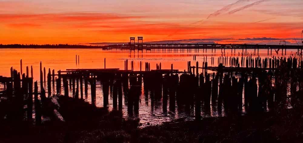
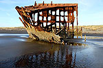
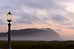
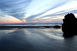
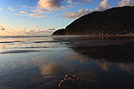
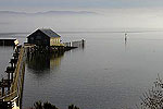
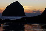
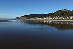
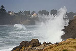
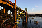
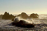
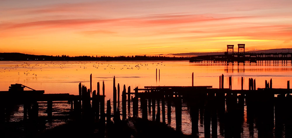
(Astoria, Oregon) – It's a tad kooky but it's super cool. Or fire. Or awesome....or something. You wouldn't expect it, but right now the Oregon coast is warmer than the valley and inland regions. And it's stunningly sunny. (Photo Angi D Wildt Gallery, Astoria)
Includes exclusive listings; some specials in winter
In Cannon Beach:
Includes rentals not listed anywhere else
In Manzanita, Wheeler, Rockaway Beach:
Some specials for winter
In Pacific City, Oceanside:
Some specials for winter
In Lincoln City:
Some specials for winter
In Depoe Bay, Gleneden Beach:
Some specials for winter
In Newport:
Look for some specials
In Waldport
Some specials for winter
In Yachats, Florence
Some specials for winter
Southern Oregon Coast Hotels / Lodgings
Reedsport to Brookings, places to stay; winter deals
In fact, it's going to be clearer out there for a couple more days - and warmer than inland, as many parts of the valley and southern Oregon are under fog alerts of varying kinds. Indeed, the air is nicer on the beaches, too: there are lots of air stagnation alerts from the National Weather Service (NWS).
In recent days – and for another couple of days – the coastline is a few degrees warmer during the day than inland areas like Silverton, Portland, Ashland or Eugene. Beach towns such as Coos Bay, Seaside or Newport have reached daytime highs in the low to mid 50s. Inland areas have struggled to get out of the 40s.
Social media has been filling up with resplendent shots of sunny coastal skies from recent days, including these by Angi Wildt of Angi D Wildt Gallery. She snagged these positively glowing shots of Astoria on Sunday.
See Oregon Coast Weather (including tides) - Inland Oregon Weather
At night, however, is when they somewhat even out. Both areas have been and will continue to plummet down to near freezing.
That continues on Tuesday and Wednesday, according to the NWS, but on Thursday both regions turn to a cloudier, rainier disposition.
In the meantime, however, the valley and I-5 Corridor get a Freezing Fog Advisory through Tuesday morning, while the southern Oregon coast gets a frost advisory into Tuesday morning.
“With surface temps right around or slightly below freezing combined with areas of dense fog, have decided to issue a Freezing Fog Advisory for the southern Willamette Valley and east-central Willamette Valley,” the NWS said. “This advisory is in effect until 11 AM Tuesday. While surface visibilities will improve Tuesday afternoon, the stubborn low clouds will remain in place through approximately Wednesday night (lowering to the ground each night as a layer of dense fog before lifting to a low stratus deck in the afternoon).”
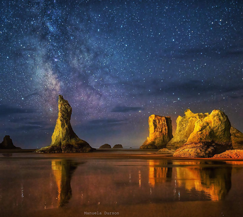
Bandon may or may not be this clear in coming nights - photo Manuela Durson - see Manuela Durson Fine Arts
The NWS cautioned anyone driving I-5, especially from Salem to Eugene. Slick spots may also be a danger.
On the south coast, areas like Bandon and Port Orford to Reedsport are under a frost advisory into the morning.
“Temperatures of 33 to 36 degrees Fahrenheit will result in frost formation,” the NWS said.
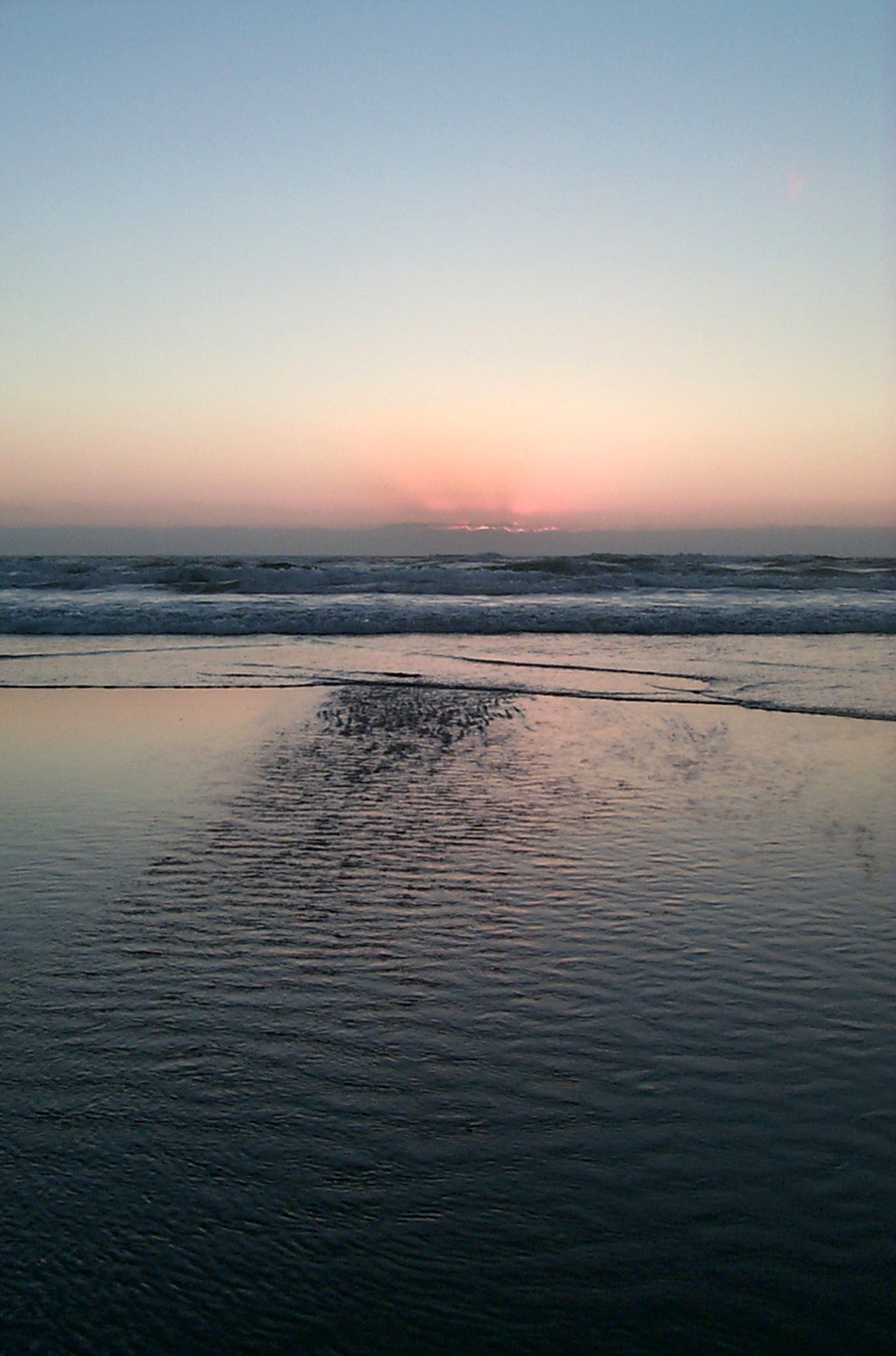
Pacific City - Oregon Coast Beach Connection
Air stagnation advisories are in effect all the way through Thursday for the vast majority of the western state, except for the coastline and ending in the Cascades.
Insider's Tip: winds are generally expected to be low on the coast. If they really die down during this run of sunny skies, make sure you're walking the beaches then. The lack of winds can let the ocean and sands heat up the beach to where it feels ten to 20 degrees warmer.
Oregon Coast Hotels for this event - South Coast Hotels - Oregon Coast Vacation Rentals - Where to eat - Maps - Virtual Tours
Oregon Coast Vacation Rentals
Oregon Coast Lodging Specials
More About Oregon Coast hotels, lodging.....
More About Oregon Coast Restaurants, Dining.....
 Andre' GW Hagestedt is editor, owner and primary photographer / videographer of Oregon Coast Beach Connection, an online publication that sees over 1 million pageviews per month. He is also author of several books about the coast.
LATEST Related Oregon Coast Articles
Washington Coast Cleanup on April 19 - Coinciding with Oregon Coast's SOLVE E...From the Puget Sound to Long Beach, alongside Oregon's cleanup. Washington coast events, Seaside events
Coos Bay in Summer 2025: Includes History Talk, Oregon Coast Music Festival, ...
Coos Museum Tuesday Talk June 3; Oregon Coast Music Festival Bandon to Coos Bay, July 12 to 26; North Bend July Jubilee July 18 - 20. South Coast events
Ready for Cuteness Overload? Astoria Fire Rescues Ducklings from N. Oregon Co...
A tour bus driver witnessed seven baby ducks fall into a sewer drain. Marine sciences
Destructive, Invasive Crab Found on N. Oregon Coast, Officials Ask Public's Help
Chinese mitten crab was found near Astoria. Marine sciences
Cannon Beach Sandcastle Contest 2025: N. Oregon Coast Tradition Happens June 21
Started in '64 after a tsunami hit town. Newport events Manzanita events, Cannon Beach events, Seaside events, Astoria events
Two Paddle Boarders Rescued at S. Oregon Coast's Secret Beach
One had a broken arm and hypothermia. Near Brookings. Beach safety
Rugged Central Oregon Coast This Summer: Guided Pontoon Boat, Tidepool and Ca...
Lincoln City events every week: guided boat, tidepools gatherings, tours of Cascade Head. Lincoln City Exploriences. Click for schedule
Be Jeweled Returns to Central Oregon Coast, Newport's Dazzling, Arty Jewelry ...
Saturday, May 10, from 10 AM to 4 PM featuring more than 2,000 pieces. Newport events
Back to Oregon Coast
Contact Advertise on Oregon Coast Beach Connection
All Content, unless otherwise attributed, copyright © Oregon Coast Beach Connection. Unauthorized use or publication is not permitted


