Sneaker Wave Dangers Sunday on Oregon, Washington Coast: How to Enjoy
Published 01/25/2020 at 5:50 PM PDT
By Oregon Coast Beach Connection staff
Includes exclusive listings; some specials in winter
In Cannon Beach:
Includes rentals not listed anywhere else
In Manzanita, Wheeler, Rockaway Beach:
Some specials for winter
In Pacific City, Oceanside:
Some specials for winter
In Lincoln City:
Some specials for winter
In Depoe Bay, Gleneden Beach:
Some specials for winter
In Newport:
Look for some specials
In Waldport
Some specials for winter
In Yachats, Florence
Some specials for winter
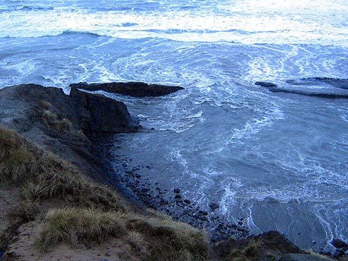
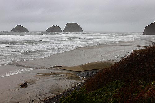
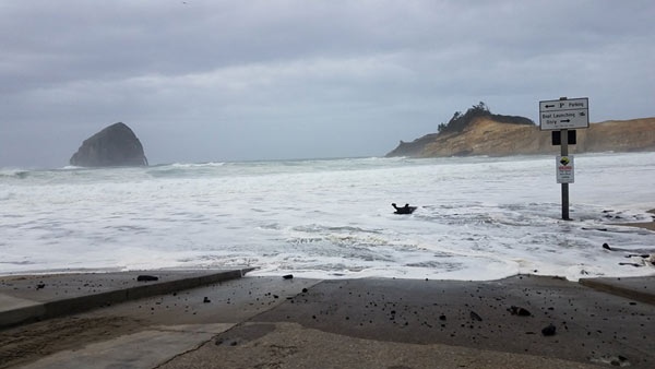
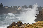
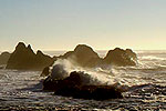
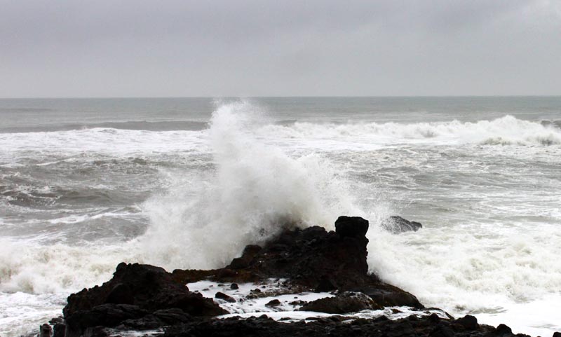
(Oregon Coast) – Big waves are again headed for the Oregon coast this weekend, with the Washington coast and northern and central Oregon coasts the subject of a beach hazards statement from the National Weather Service (NWS). The agency said large breakers and the substantial dangers of sneaker waves will be present in those areas from early Sunday morning through late Sunday evening.
The NWS is urging extreme caution from about Raymond, Washington down through Yachats – which includes places like the Long Beach Peninsula, Seaside, Cannon Beach, Manzanita, Pacific City, Lincoln City, Newport, Yachats, and everything in between. The southern Oregon coast is not expected to get such dangerous conditions, though it will be rainy and windy.
“If you are thinking about heading to the coast on Sunday, be extra watchful of the sea as there will be increased likelihood for sneaker waves late Sunday morning through Sunday evening,” the NWS said. “This is due to the potential for a building long-period west swell to increase the strength and height of the water running up the beaches. This can easily catch someone off guard and drag them into the cold ocean waters. A Beach Hazards Statement has been issued for this coastal hazard.”
According to NWS wave prediction graphs, some gnarly big ones are expected offshore and then likely hitting the beaches. One of the largest examples is a prediction of 30-foot swells offshore at a period of 16 seconds that will result in a beach wave height of about 16 feet – all around 4 p.m.
The NWS said there is sizable dangers of getting knocked down by sneaker waves on the beaches and sucked into the frigid ocean. Stay clear of logs on the beaches as these can be lifted by a mere inch or two of water. Stay well clear of jetties as these are non-stop danger zones.
“Always keep an eye on the waves, and be especially watchful of children and pets,” the NWS said.
Considerable winds will be hitting the northern half of the Oregon coast and the southern half of the Washington coast, clocking in around the 20s on Sunday with gusts over 30 mph on occasion. It stays rainy and somewhat windy through much of the week.
Wild beach conditions may well return midweek with some hefty offshore swells again predicted in the teens and close to 20 feet at times. There are currently predictions of wave height on the beaches again around 15 feet, although the NWS has not yet issued forecasts for periods between the swells.
Oregon Coast Beach Connection is declaring all smaller beaches with no access to foredunes should be off limits. Places like Oceanside, Gleneden Beach, much of Lincoln City or Newport’s Nye Beach are short beaches with only cliff walls behind them and no means of getting away from waves.
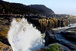
How To Enjoy the Waves: Stick to rocky areas with distant viewpoints where you can stay a ways back from all the crazy action, such as the Depoe Bay seawall, the 804 Trail at Yachats (stay on the trail), the lookouts / parking lots above Pacific City, Oceanside, Nye Beach, the Seaside Promenade or the cliff lookout at Shore Acres near Coos Bay. Rocky spots will be your best bets for incredible sights. See oceanfront hotels here, as these will provide a constant show.
The waves are coming in straight from the west which will mean lots of interesting creatures and goodies washing up, which will be excellent for beachcombing later as wave conditions calm down.
See Washington Coast Weather - Oregon Coast Weather
- Oregon Coast Hotels for this event - Where to eat - Map - Virtual Tour
Cannon Beach Lodging
Nehalem Bay Lodgings
Manzanita Hotels, Lodging
Three Capes Lodging
Pacific City Hotels, Lodging
Lincoln City Lodging
Depoe Bay Lodging
Newport Lodging
Waldport Lodging
Yachats Lodging
Oregon Coast Vacation Rentals
Oregon Coast Lodging Specials
More About Oregon Coast hotels, lodging.....
More About Oregon Coast Restaurants, Dining.....
LATEST Related Oregon Coast Articles
The sixth in the NW in three weeks; early indications suggest it may have been undernourished. Marine sciences
Now Begins the 'Season of Satellites' Above Oregon, Washington: Summer's Surr...
Not even counting meteors, these satellite trains can create wild colors and streaks in the sky. Astronomy, weather. Brookings events, Gold Beach events, Port Orford events, Coos Bay events, Bandon events, Florence events, Yachats events, Newport events, Lincoln City events, Rockaway Beach events, Manzanita events, Cannon Beach events, Seaside events, Astoria events
7-Day Parking Meters Return to Central Oregon Coast Town, and Now to Nye Beac...
Newport?s Bayfront will charge all week, and the Nye Beach Turnaround will now do the same. Travel tips, traffic
87th Annual Azalea Fest Readies Its Return for Memorial Day Weekend on S. Ore...
Brookings brings back the long-running festival over Memorial Day weekend, May 22?25. Brookings events
Harrowing Accident Scene on S. Oregon Coast Turns Into Search for Driver and ...
Sheriffs found an empty vehicle and searched nearly 24 hours before locating the driver. Traffic
Another Dead Whale Stranding, This Time Near Yachats on Central Oregon Coast
Reports differ on whether it was alive at first; scientists are examining the carcass. Marine sciences
Washington Coast Cleanup Scours Inner and Outer Coast, April 25
Volunteers are needed along the outer coast and throughout the Salish Sea. Washington coast events
4th of July at N. Oregon Coast's Sand Lake Now Requires Pre-Sales for Camping...
Congestion and overcrowding in recent years at Sand Lake Recreation Area near Pacific City. Traffic, travel tips
Back to Oregon Coast
Contact Advertise on BeachConnection.net
All Content, unless otherwise attributed, copyright BeachConnection.net Unauthorized use or publication is not permitted


