Entire Oregon Coast, S. Washington Coast Surf Advisories: Waves Up to 28 Ft
Published 11/11/24 at 3:55 p.m.
By Oregon Coast Beach Connection Staff
(Coos Bay, Oregon) – UPDATED: NEW SURF HEIGHT NUMBERS: NWS HAS ADDED HIGH SURF WARNING FOR SOUTH COAST WITH BREAKERS UP TO 28 FT POSSIBLE.
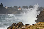
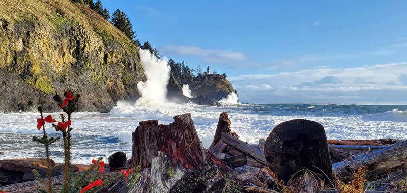
Large breakers are set to hit the Oregon coast and south Washington coast Tuesday and maybe beyond, with the National Weather Service (NWS) now issuing three different surf advisories / warnings for the northern and southern shorelines. (Cape Disappointment, photo courtesy Angi D Wildt Gallery)
Includes exclusive listings; some specials in winter
In Cannon Beach:
Includes rentals not listed anywhere else
In Manzanita, Wheeler, Rockaway Beach:
Some specials for winter
In Pacific City, Oceanside:
Some specials for winter
In Lincoln City:
Some specials for winter
In Depoe Bay, Gleneden Beach:
Some specials for winter
In Newport:
Look for some specials
In Waldport
Some specials for winter
In Yachats, Florence
Some specials for winter
Southern Oregon Coast Hotels / Lodgings
Reedsport to Brookings, places to stay; winter deals
There is also a high wind warning (changed from a watch) for the southern half for Tuesday and Wednesday, possibly bringing gusts up to 60 in beach towns but as high as 75 mph at headlands.
There is a high surf warning for the south coast in effect until Tuesday, which then switches to a high surf warning - added earlier on Monday.
The southern portion will get waves 22 to 28 feet coming onshore, while the areas of Florence up through Raymond, Washington, will see 20 feet or higher in some areas. The NWS is saying up to 25 feet is possible.
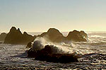
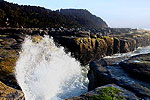
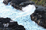
Many areas will be putting on a big show, like Cape Disappointment in Washington or the Coos Bay area's Shore Acres. Also look for large displays at Bandon, Humbug Mountain, Yachats, Depoe Bay and Cape Meares.
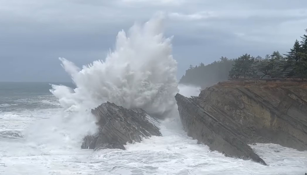
Courtesy Oregon's Adventure Coast
For the northern half and southern half of Washington, the high surf advisory is in effect from midnight Monday night through 4 p.m. on Tuesday.
“A High Surf Advisory means that high surf will affect beaches, producing rip currents, sneaker waves and beach erosion,” the NWS said. “Stay well back from the water's edge and be alert for exceptionally high waves.”
See Washington Coast Weather - Oregon Coast Weather (including tides) - Inland Oregon Weather
This region includes Yachats, Newport, Lincoln City, Pacific City, Rockaway Beach, Manzanita, Cannon Beach, Seaside, Long Beach and Ocean Park.
Like the southern sections, part of the issue is different storm systems combining and an extremely long period between swells of 15 seconds. This adds extra energy to some wave sets when they come onshore.
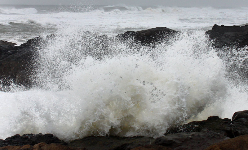
Although king tides don't start until November 15, the NWS said higher tides will be starting to ramp up, adding to some issues.
“While the perigean spring tides, also known as king tides, will begin Friday November 15, increasing high tides along with a strong weather system on Wednesday will bring the possibility of tidal overflow and minor coastal flooding. Will continue to monitor total tide along with the response of local rivers along the coast this week.”
On the southern half – including Reedsport, Coos Bay, Bandon, Port Orford, Gold Beach and Brookings – the hazards are the same. However, it will go from an advisory to a warning. The high surf warning goes from 4 p.m. Tuesday to Wednesday morning.
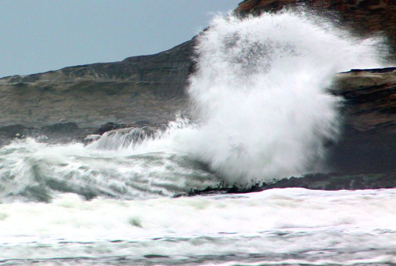
Oregon Coast Beach Connection
“For the High Surf Warning, dangerously large breaking waves of 25 to 28 feet.,” the NWS said.
Even so, it's expected to away quickly..
“Another cold front will move through the waters Tuesday evening with surf heights lingering around the 26 foot mark into Wednesday morning,” the NWS said. “The surf height decreases significantly Wednesday evening.”
For the high wind warning, the NWS said it is in effect until Wednesday morning along the south coast. Gusts could hit as high as 75 mph on areas like Cape Blanco.
“Damaging winds could blow down trees and power lines,” the NWS said. “Power outages are possible. Travel could be difficult, especially for high profile vehicles.”
Oregon Coast Hotels for this event - South Coast Hotels - Oregon Coast Vacation Rentals - Where to eat - Maps - Virtual Tours
Oregon Coast Vacation Rentals
Oregon Coast Lodging Specials
More About Oregon Coast hotels, lodging.....
More About Oregon Coast Restaurants, Dining.....
 Andre' GW Hagestedt is editor, owner and primary photographer / videographer of Oregon Coast Beach Connection, an online publication that sees over 1 million pageviews per month. He is also author of several books about the coast.
LATEST Related Oregon Coast Articles
Major Hike to Oregon Coast's Cascade Head Shut Down for Repair, Geotechnical ...You won't be able to use one of two routes. Lincoln City, safety, Neskowin, Pacific City
Oregon Coast's First 'Reviews' Came 220 Years Ago: Lewis and Clark in January
1806 here made its mark in history from Washington, Astoria, Warrenton to Seaside and Cannon Beach
Florence Creates Giveaway of Two Nights at Central Oregon Coast, Gourmet Food...
Lakeside getaway, free food and more through Florence's contest. Florence events
Coast Guard Swimmer Dies After Week in ER: Washington and Oregon Coast Pay Tr...
Officials announced the death of Petty Officer 2nd Class Tyler Jaggers, prompting tributes across the region
A Staple for Oregon Coast Spring Break, Festival of Illusions Hits Lincoln Ci...
2026 Festival of Illusions, March 22-27. Pacific City events, Lincoln City events, Depoe Bay events, Newport events
A 1940s Motor Lodge on the Oregon Coast With Thoroughly Modern Vibes
Nostalgia of the Oregon coast in the '60s and '70s. Newport hotel reviews. Agate Beach Motel
Gearhart, Oregon Weather - 7-Day Forecast, Live Conditions, Wave Height, Tide...
Live weather conditions, cams, tides and forecasts for Gearhart, Oregon
The South Oregon Coast Clambake That's Not About Clams is Back: North Bend, M...
Four days of jazz, swing, doo-wop, blues, big band and 1950s rock. South coast events, Coos Bay events
Back to Oregon Coast
Contact Advertise on Oregon Coast Beach Connection
All Content, unless otherwise attributed, copyright © Oregon Coast Beach Connection. Unauthorized use or publication is not permitted


