King Tides Return This Weekend to Oregon, Washington Coast; Warnings Possible
Published 02/04/2020 at 9:30 PM PDT
By Oregon Coast Beach Connection staff
Includes exclusive listings; some specials in winter
In Cannon Beach:
Includes rentals not listed anywhere else
In Manzanita, Wheeler, Rockaway Beach:
Some specials for winter
In Pacific City, Oceanside:
Some specials for winter
In Lincoln City:
Some specials for winter
In Depoe Bay, Gleneden Beach:
Some specials for winter
In Newport:
Look for some specials
In Waldport
Some specials for winter
In Yachats, Florence
Some specials for winter
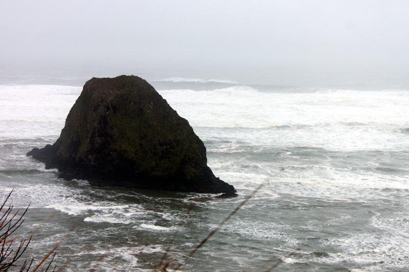
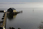
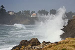
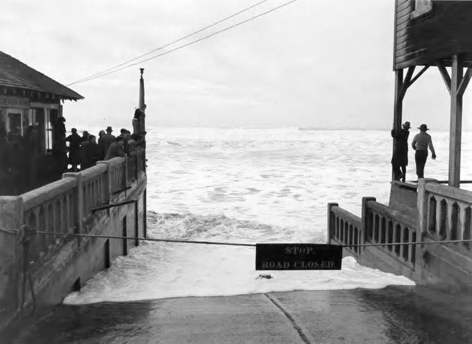
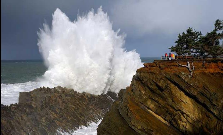
(Manzanita, Oregon) – This weekend brings the last round of king tides to the Oregon coast and the Washington coast, and what are already exceptionally high tides look as if they’ll be even larger because of some sizable wave action offshore. Saturday through Monday will again mean some of the highest tides of the year, and more caution should be exercised – especially considering the massive disregard for warnings during January’s event. (Above: Newport gets by tidal surges in the '30s).
(BREAKING NEWS: Lincoln City has canceled its special glass float drop for the weekend, resuming on Tuesday)
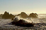
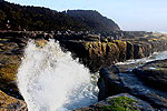
This time around, tide tables are predicting ranges like seven to nine-foot high tides in many bay areas, which does not necessarily translate into that height coming onshore. It does, however, mean the water levels will be quite high. Adding to that are storm / wind conditions offshore that will be causing larger-than-normal swells and thus bigger waves breaking onto beaches in both Washington and Oregon. This could bring more beach or surf warnings from weather officials.
The National Weather Service is calling for offshore swells as large as over 20 feet on the northern half of the Oregon coast on Saturday, and often near 20 feet for the weekend from the southern Oregon coast through the Washington coastline.
Largely, king tides are the result of a more intense interaction between the moon and the Earth. According to the Oregon King Tides Photo Initiative:
“Tides are caused by the gravitational influence of the sun, the moon, and the earth on the earth’s oceans. When the orbits and alignment of the earth, moon and sun come into a particular relationship, the tidal range is at its greatest; low tides are especially low and high tides are especially high.”
Indeed, minus tides of around negative one foot will be common at low tides for this event. The highest tides generally occur in the morning to early afternoon, depending on where you are along the Pacific Northwest coastline. Times vary greatly: see the Oregon King Tides site and the Washington Coast King Tides site.
On the northern half and southern half of the Oregon coast, the NWS said expect large swells.
“The weekend points to steeper seas due to stronger winds and added moderate to high wind waves,” the NWS said.
For the northern half, conditions seem a little more severe offshore. The NWS is looking at combined seas of 23 feet on Saturday and 17 feet on Sunday. The southern portion of the coast will get about two to four feet less on those days. The NWS said not all models are yet in agreement how intense the wave action will be out to sea. It has as yet made no prediction for period swells, which is an indicator for sneaker waves if that is a high number.
Along the Washington coast, the area is looking at similar conditions.
“Another strong Pacific frontal system will arrive Friday night and Saturday with seas building to 15 to 20 feet,” the NWS in Seattle said. See Washington Coast Weather - Oregon Coast Weather - Oregon Coast Hotels for this event - Where to eat - Maps - Virtual Tour
The Oregon King Tides Photo Initiative urges extreme caution while photographing these high tides: stay off slippery trails near the beach and always be aware of your surroundings, it said.
See beach safety advice here: Getting the Message to Oregon Coast Storm Watchers: Why It's Not Working
Words of Caution for Beach Safety
Stay off Beaches During the Warning Periods
Stay far from any jetties
Stay far back from rocky ledge areas like at Yachats or Depoe Bay
Watch waves from a distant, elevated area
Heed any parking lot closures – your vehicle could get ruined
Cannon Beach Lodging
Nehalem Bay Lodgings
Manzanita Hotels, Lodging
Three Capes Lodging
Pacific City Hotels, Lodging
Lincoln City Lodging
Depoe Bay Lodging
Newport Lodging
Waldport Lodging
Yachats Lodging
Oregon Coast Vacation Rentals
Oregon Coast Lodging Specials
More About Oregon Coast hotels, lodging.....
More About Oregon Coast Restaurants, Dining.....
LATEST Related Oregon Coast Articles
The sixth in the NW in three weeks; early indications suggest it may have been undernourished. Marine sciences
Now Begins the 'Season of Satellites' Above Oregon, Washington: Summer's Surr...
Not even counting meteors, these satellite trains can create wild colors and streaks in the sky. Astronomy, weather. Brookings events, Gold Beach events, Port Orford events, Coos Bay events, Bandon events, Florence events, Yachats events, Newport events, Lincoln City events, Rockaway Beach events, Manzanita events, Cannon Beach events, Seaside events, Astoria events
7-Day Parking Meters Return to Central Oregon Coast Town, and Now to Nye Beac...
Newport?s Bayfront will charge all week, and the Nye Beach Turnaround will now do the same. Travel tips, traffic
87th Annual Azalea Fest Readies Its Return for Memorial Day Weekend on S. Ore...
Brookings brings back the long-running festival over Memorial Day weekend, May 22?25. Brookings events
Harrowing Accident Scene on S. Oregon Coast Turns Into Search for Driver and ...
Sheriffs found an empty vehicle and searched nearly 24 hours before locating the driver. Traffic
Another Dead Whale Stranding, This Time Near Yachats on Central Oregon Coast
Reports differ on whether it was alive at first; scientists are examining the carcass. Marine sciences
Washington Coast Cleanup Scours Inner and Outer Coast, April 25
Volunteers are needed along the outer coast and throughout the Salish Sea. Washington coast events
4th of July at N. Oregon Coast's Sand Lake Now Requires Pre-Sales for Camping...
Congestion and overcrowding in recent years at Sand Lake Recreation Area near Pacific City. Traffic, travel tips
Back to Oregon Coast
Contact Advertise on BeachConnection.net
All Content, unless otherwise attributed, copyright BeachConnection.net Unauthorized use or publication is not permitted


