First Storms of Season May Bring 30-ft Waves to Oregon Coast
Published 10/11/2016 at 4:51 AM PDT
By Oregon Coast Beach Connection staff
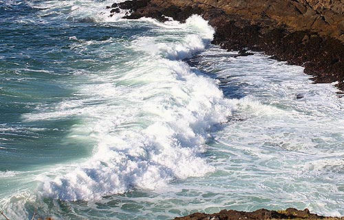
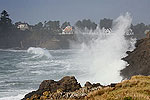
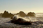
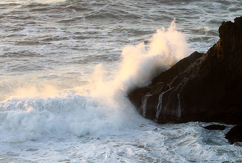
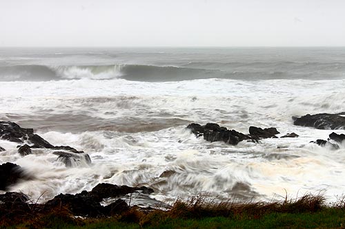
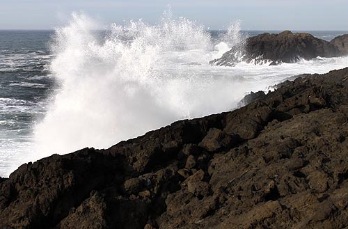
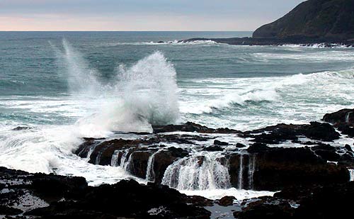
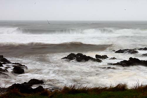
(Oregon Coast) – Some gnarly waves will be battering the beaches of the Oregon coast later this week as the season's first series of storms will come in, one after the other, drenching the inland areas and bringing some sizable winds. Waves as high as nearly 30 feet may be knocking things around by the weekend, with coastal winds up to 50 mph.
The National Weather Service (NWS) in Portland said stormy conditions are gunning for Oregon later this week, with several rounds of pounding rain – the first of which arrives Wednesday night.
“A second system will follow Thursday afternoon, and may bring high winds and high surf to the coast,” the NWS said. “After a short break on Friday, a stronger system will push through the region on Saturday with more heavy rain, and a better chance of possible high winds and high surf.”
Still, the NWS is leaving some leeway in the forecast.
“While confidence is high in the overall pattern, the precise details of the forecast will likely change in the coming days,” the NWS said.(See Oregon Coast Weather for updates).
In spite of that caveat, the NWS has issued a gale watch for coastal waters for Wednesday through Friday afternoon, telling ocean vessels to be careful.
These increasingly large waves are dangerous for sailors and fishermen, but onshore they could be hazardous yet spectacular. Wednesday, waves are predicted to still be mild, but early on Thursday morning they're expected to build up to between 11 feet and 15 feet.
By Thursday night, combined seas will rise to 19 feet, increasing to 21 feet on Friday, and then a whopping 29 feet on Saturday. If these forecasts for waves hold, it will mean rare storm watching drama but almost certainly stern warnings to stay off the beaches.
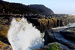
The NWS would issue these warnings. However, you will get a stunning eyeful from the parking lots overlooking beaches, especially rocky stretches like those at Depoe Bay or Yachats.
Indeed, in your parked car is where you'll want to remain. The NWS said Thursday will have heavy rains in the afternoons, with sustained winds around 20 mph and gusts between 35 and 50. The NWS forecast does not include wind forecasts after Thursday for the beaches at this time, but its open ocean predictions are looking at winds in the 40s. Beaches and coastal towns could wind up more or less than that; only later forecasts will tell.
Since the NWS said there is a likelihood the storm coming over the weekend will be a stronger one, it's currently safe to believe winds and rain will be harsher. Any storm watching you do you'll want to do in your vehicle or from your hotel room. (Find storm watching lodging here).
This heavy surf will take large chunks out of the huge sand levels still lingering along the Oregon coast at this time. Many beaches will be much smaller afterwards. See Oregon Coast Beach Connection for the follow-up article on this over the next day or two, and then again over the course of the weekend for further weather updates and alerts about beaches with interesting finds after these conditions have calmed down. Oregon Coast Lodgings for this event - Where to eat - Maps - Virtual Tours
More About Oregon Coast hotels, lodging.....
More About Oregon Coast Restaurants, Dining.....
Cannon Beach Lodging
Nehalem Bay Lodgings
Manzanita Hotels, Lodging
Three Capes Lodging
Pacific City Hotels, Lodging
Lincoln City Lodging
Depoe Bay Lodging
Newport Lodging
Waldport Lodging
Yachats Lodging
Oregon Coast Vacation Rentals
Oregon Coast Lodging Specials
LATEST Related Oregon Coast Articles
Likely just before dawn best hour but peak happens during daylight. Weather
Dark Sky Week is Prime Along Oregon Coast: Where and Where Not to Go
General guide to dark sky viewing from south to north coast. Astronomy
Sizable Price Drop, Deals in Lincoln City During Quiet of April on Central Or...
20 perc off at A1 Vacation Rentals across its roster, including Gleneden Beach. Lincoln City specials
Upcoming S. Oregon Coast Events Include Gem Show, History: Coos Bay, Bandon
May 6 talk at Coos History Museum, Mayfly Fest May 17, Bandon Rock / Gem Show June 7,8
Washington Coast Cleanup on April 19 - Coinciding with Oregon Coast's SOLVE E...
From the Puget Sound to Long Beach, alongside Oregon's cleanup. Washington coast events, Seaside events
Astoria's Riverwalk Gets New Lighting, More N. Oregon Coast Roadwork
Delays coming this summer, but the riverwalk has a new look. Seaside, Cannn Beach
April Gets Even Cheaper Midweek at Depoe Bay, Lincoln City: Oregon Coast Deals
Off-season rates plus more at Keystone Vacation Rentals. Depoe Bay lodging specials, Lincoln City hotel reviews, Newport hotel reviews
Washington Coast Begins Week of Clam Digs, April 12 Through 18
Long Beach, Twin Harbors, Mocrocks and Copalis at different times. Washington coast events
Back to Oregon Coast
Contact Advertise on BeachConnection.net
All Content, unless otherwise attributed, copyright BeachConnection.net Unauthorized use or publication is not permitted


