Oregon / Washington Coast Alerts: Flood Watch, First Big Waves of Season
Published 09/23/23 at 7:37 p.m.
By Oregon Coast Beach Connection staff
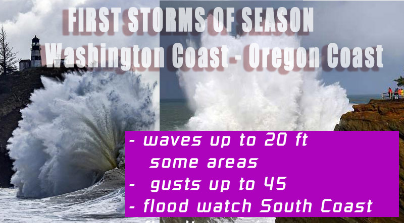
(Astoria, Oregon) – Floods, lots of rain, high winds and some rather good storm watching are all in store for the Oregon coast and Washington coast as the first big storm of the season sweeps in starting Sunday. It's all bringing a ton of rain to Portland, Eugene, Tacoma and Seattle as well, creating some slick road hazards but also squelching a lot of fires in the Pacific Northwest. (Graphic Oregon Coast Beach Connection)
Includes exclusive listings; some specials in winter
In Cannon Beach:
Includes rentals not listed anywhere else
In Manzanita, Wheeler, Rockaway Beach:
Some specials for winter
In Pacific City, Oceanside:
Some specials for winter
In Lincoln City:
Some specials for winter
In Depoe Bay, Gleneden Beach:
Some specials for winter
In Newport:
Look for some specials
In Waldport
Some specials for winter
In Yachats, Florence
Some specials for winter
Southern Oregon Coast Hotels / Lodgings
Reedsport to Brookings, places to stay; winter deals
Some are referring to it as an “atmospheric river” coming to Oregon and Washington, and along the coastlines they are expecting the highest rainfall amounts. It's enough to create a flood watch on the south Oregon coast, in effect from Sunday evening through Monday, issued by the National Weather Service (NWS).
The areas from Reedsport down to the California border are under the watch – along with inland areas of Douglas, Josephine and Siskiyou counties.
“The first moderate to heavy rain event of the season will arrive late Sunday into Monday,” the NWS said. “While this rainfall will be mostly beneficial as we are coming out of the dry season, there is a risk that moderate to heavy rainfall could produce debris flows on this season's burn scars.”
The Oregon coast and Oregon Coast Range will get the hardest rains, as well as parts of the southern Washington coast. Wind gusts up to 40 or 45 mph are expected, just shy of any high wind warning.
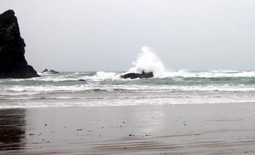
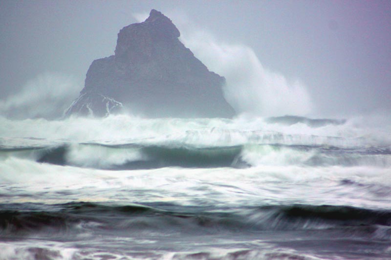
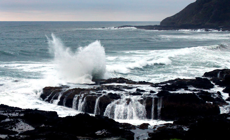
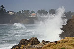
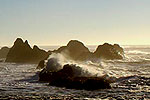
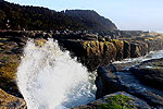
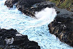
Fairly large waves will be battering the Oregon coast and Washington coast as well, so get out your raingear to go check out places like Shore Acres at Coos Bay, Cape Disappointment near Ilwaco or Yachats. Waves nearly 20 feet high will be firing offshore, coming in hot and heavy to cliff areas – although not posing too many dangers on the beaches.
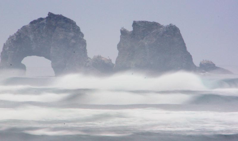
Oregon Coast Beach Connection
Wave heights can differ drastically between different areas of the two coastlines, such as the areas between Cape Arago and Florence will see higher waves than those south of Arago.
The NWS said much of the region will see offshore waves in the 9-foot to nearly 20-foot range.
“A dynamic wind sea will develop across the coastal waters during this time bringing seas into the mid to upper teens across the inner zones and upper teens to low 20s across the outer waters with a dominant period around 10 seconds,” the NWS said on its website.
On the upper Washington coast, combined seas just offshore are around 15 feet on Monday, rising to almost 20 feet later at night. Tuesday may see them top 20 feet high and then lower to under ten feet on Wednesday.
See Washington Coast Weather - Oregon Coast Weather
Down around the southern Oregon coast near Gold Beach and Brookings, combined waves begin ramping up on Sunday night to around 10 feet high, with Monday seeing westerly swells at 13 feet and wind waves 5 to 7 feet (combined seas at nearly 20 feet). They stick around those numbers through Tuesday, then subsiding later that night.
Showers are in store for all of Oregon and most of Washington for this period, with Sunday through Tuesday producing an inch and a half to more than two inches for the majority of the two coastlines. Thunderstorms are also possible along the way, especially Monday through Wednesday.
Highs will be in the low 60s and lows in the 50s overnight on the coastlines. Look for winds as high as 40 mph in some parts of the shoreline.
Oregon Coast Hotels for this event - South Coast Hotels - Where to eat - Maps - Virtual Tours
Cannon Beach Lodging
Nehalem Bay Lodgings
Manzanita Hotels, Lodging
Three Capes Lodging
Pacific City Hotels, Lodging
Lincoln City Lodging
Depoe Bay Lodging
Newport Lodging
Waldport Lodging
Yachats Lodging
Oregon Coast Vacation Rentals
Oregon Coast Lodging Specials
More About Oregon Coast hotels, lodging.....
More About Oregon Coast Restaurants, Dining.....
 Andre' GW Hagestedt is editor, owner and primary photographer / videographer of Oregon Coast Beach Connection, an online publication that sees over 1 million pageviews per month. He is also author of several books about the coast.
LATEST Related Oregon Coast Articles
April 25 to 27 at the Clatsop County Fairgrounds. Astoria events, Cannon Beach events
Cape Kiwanda's Colossal Sand Dune: Wild Oregon Coast Rides and How It's Changing
A mix of crazy recreation with science of a crumbling landmark. Sciences, Pacific City, Oceanside
Destructive, Invasive Crab Found on N. Oregon Coast, Officials Ask Public's Help
Chinese mitten crab was found near Astoria. Marine sciences
Coast Guard Barque 'America's Tall Ship' Coming to Portland Rose Fest, N. Ore...
Portland events: June 5 - 8; Astoria events June 13 - 15. Weather
Oregon Coast Hiking Hotspot Closes Briefly: Saddle Mountain Near Seaside, Hwy...
Closure from May 6 to 10, some lane closures on Hwy 26. Cannon Beach, Manzanita, Astoria
Two Paddle Boarders Rescued at S. Oregon Coast's Secret Beach
One had a broken arm and hypothermia. Near Brookings. Beach safety
April Gets Even Cheaper Midweek at Depoe Bay, Lincoln City: Oregon Coast Deals
Off-season rates plus more at Keystone Vacation Rentals. Depoe Bay lodging specials, Lincoln City hotel reviews, Newport hotel reviews
South Oregon Coast's Golden and Silver Falls Park Needs Cleanup Volunteers
Saturday, May 24 at the park near Coos Bay, but Shore Acres also needs help. Coos Bay events
Back to Oregon Coast
Contact Advertise on Oregon Coast Beach Connection
All Content, unless otherwise attributed, copyright Oregon Coast Beach Connection. Unauthorized use or publication is not permitted


