Hazardous Beaches, Wind Warnings, Floods on Oregon / Washington Coast
Published 02/27/22 at 6:22 PM PST
By Oregon Coast Beach Connection staff
Includes exclusive listings; some specials in winter
In Cannon Beach:
Includes rentals not listed anywhere else
In Manzanita, Wheeler, Rockaway Beach:
Some specials for winter
In Pacific City, Oceanside:
Some specials for winter
In Lincoln City:
Some specials for winter
In Depoe Bay, Gleneden Beach:
Some specials for winter
In Newport:
Look for some specials
In Waldport
Some specials for winter
In Yachats, Florence
Some specials for winter
Southern Oregon Coast Hotels / Lodgings
Reedsport to Brookings, places to stay; winter deals
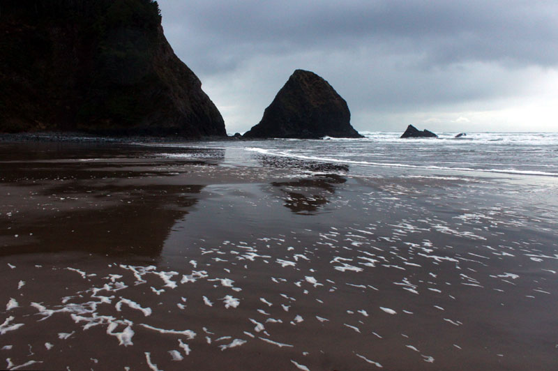
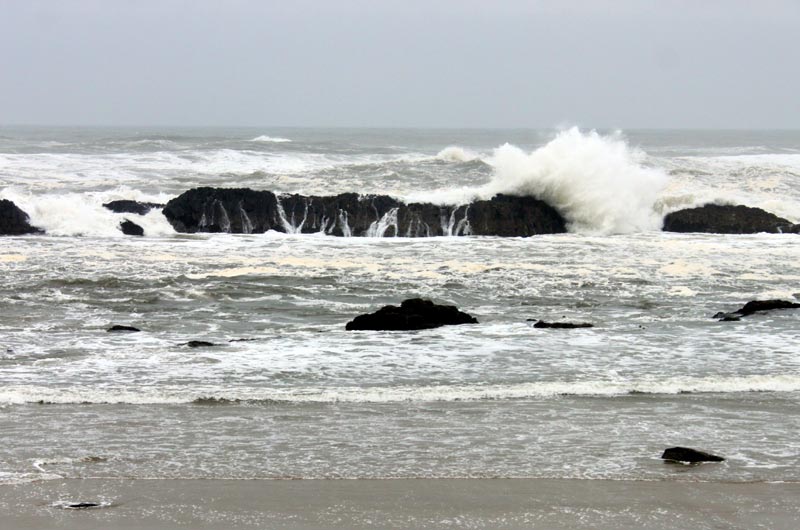
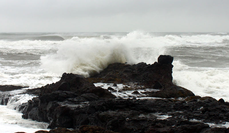
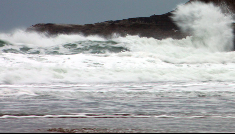
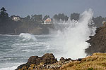
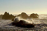
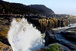
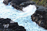
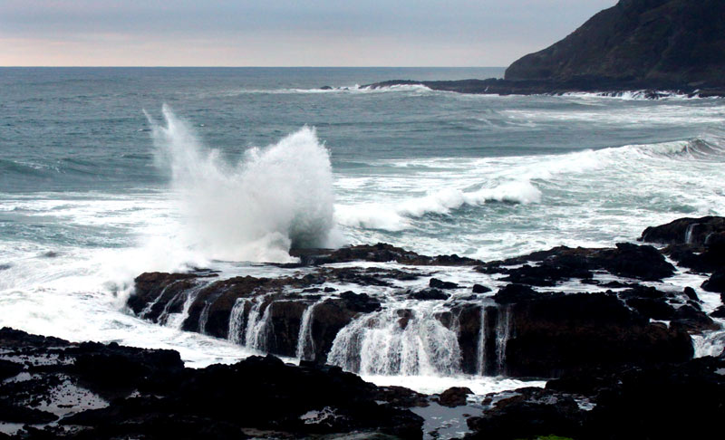
(Oregon Coast) – A blustery, wet and somewhat dangerous day and a half are in store for parts of the Oregon coast and Washington coast Sunday and Monday, with a high wind warning in effect through Monday afternoon and a flood watch through Tuesday for some areas. To top it all off, the National Weather Service (NWS) warns of chaotic surf around 18 to 22 feet, creating some fairly dangerous situations.
The high wind warnings and flood watches are in effect for the northern half of the Oregon coast and southern half of the Washington coast, while areas north and south of that will not be too adversely affected. However, strong surf conditions are expected on the southern Oregon coast as well, although there are no warnings there
See Oregon Coast Weather - Washington Coast Weather
See Oregon Coast Road, Traffic Conditions, Updates
The high wind warning for areas such as Westport, Long Beach, Seaside, Pacific City, Lincoln City and Florence are in effect from 10 p.m. Sunday night through 4 p.m. Monday. Look for sustained south winds of 25 to 35 mph with gusts to 60 mph, perhaps even stronger on headlands around Cannon Beach, Newport, the Long Beach Peninsula or Cape Foulweather.
In other words, this is a pretty sizable winter storm for the Oregon coast and Washington coast.
“Damaging winds may damage trees and power lines,” the NWS said. “Power outages are likely. Travel will be challenging, especially for high profile vehicles late tonight through Monday afternoon.”
The flood watches are in effect for the entire upper half of the Oregon coast as well as southern half of Washington coast, from about Florence through to Westport, including the Coast Range and Willapa Hills. This is in effect from Monday morning through Tuesday afternoon, with the possibility of floods caused by excessive rainfall, especially along the Washington coast.
“Excessive runoff may result in flooding of rivers, creeks, streams, and other low-lying and flood-prone locations,” the NWS said. “At this time, the highest concern is for the Grays and Naselle Rivers, which could reach flood stage late Monday night or Tuesday morning.”
Offshore, the NWS said gale force winds and steep seas will be combining to make large swells coming ashore.
“The strong southerly winds will result in significant wind wave action, which will also be combined with a westerly background swell around 6-8 ft,” the NWS said. “This setup should push combined seas to near 20 ft again tonight and Monday morning. Seas will begin to subside again later Monday, but will likely stay at or above 10 ft through Tuesday night and possibly into Wednesday as well.”
Such beach hazards will be pushing on land a bit, the NWS said.
“A high tidal cycle coupled with swollen rivers may lead to some minor tidal overflow flooding along portions of the north coast Monday and Tuesday,” the NWS said.
Oregon Coast Hotels for this event - South Coast Hotels - Where to eat - Maps - Virtual Tours
Cannon Beach Lodging
Nehalem Bay Lodgings
Manzanita Hotels, Lodging
Three Capes Lodging
Pacific City Hotels, Lodging
Lincoln City Lodging
Depoe Bay Lodging
Newport Lodging
Waldport Lodging
Yachats Lodging
Oregon Coast Vacation Rentals
Oregon Coast Lodging Specials
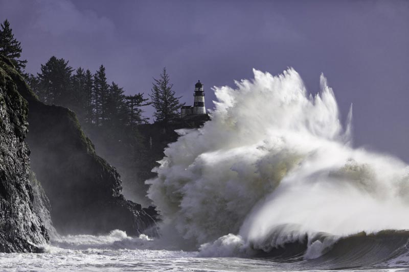
Photo courtesy Visit Long Beach Peninsula
More About Oregon Coast hotels, lodging.....
More About Oregon Coast Restaurants, Dining.....
LATEST Related Oregon Coast Articles
Happened Sunday in the Beaverton area. Safety
Washington / Oregon Travel: Gas Prices Jump More Than Usual As War Heightens
Sharper rise because of crude oil and other factors. Traffic, travel tips
Florence Creates Giveaway of Two Nights at Central Oregon Coast, Gourmet Food...
Lakeside getaway, free food and more through Florence's contest. Florence events
One Teen (and Nearly Four) Needed Rescue from Oregon Coast Cliff - Lincoln City
At least six incidents have happened there in recent years. Safety
4th of July at N. Oregon Coast's Sand Lake Now Requires Pre-Sales for Camping...
Congestion and overcrowding in recent years at Sand Lake Recreation Area near Pacific City. Traffic, travel tips
Cannon Beach Talk Looks Into Adorable N. Oregon Coast Wonders Like Rhinoceros...
Pelican Brewery in Cannon Beach on Sunday, April 12, at 4 p.m. Cannon Beach events
Newport's Oregon Coast Jazz Party Announces Dates, New Director
2026 Jazz Party, set for October 2 - 4 at the Newport Performing Arts Center. Newport events
Among Oldest Spring Festivals of West Coast Happens in Oregon's Florence Soon
119th Annual Rhododendron Festival, set for May 14 - 17, 2026, throughout Florence. Florence events
Back to Oregon Coast
Contact Advertise on BeachConnection.net
All Content, unless otherwise attributed, copyright BeachConnection.net Unauthorized use or publication is not permitted


