Oregon Heatwave: Inland Possibly 106, Coast May or May Not be a Relief
Published 07/29/2017 at 6:43 PM PDT - Updated 07/29/2017 at 6:53 PM PDT
By Oregon Coast Beach Connection staff
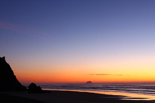
(Manzanita, Oregon) – An excessive heat watch has been issued by the Portland office of the National Weather Service (NWS) for the inland valleys and the Oregon coast range, in effect from Tuesday through Friday evening. It is somewhat likely records will be broken, with Portland and the Willamette Valley reaching over 100 degrees on Wednesday through Friday, and quite possible parts of Oregon may see close to their hottest day ever at around 106 degrees on Wednesday or Thursday.
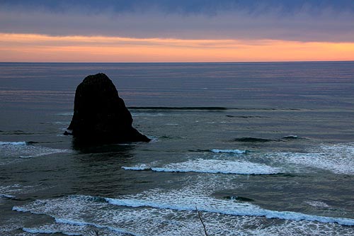
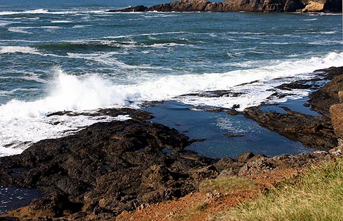
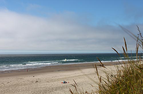
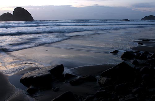
Meanwhile, the Oregon coast looks more likely than not to be cooler, but maybe not by much. The north coast area (as in Cannon Beach, Seaside, Pacific City) could be in the 90s, while the central coast (such as Newport or Yachats) should be in the 70s.
So far, most predictions have the beaches in the 70s those days, however.
“Record high temperatures are likely inland climbing to around 100 Tuesday, heating up to 103 to 108 Wednesday and Thursday with heat possibly continuing into Friday,” the NWS said. “Low temperatures are expected to remain warm dropping only into the mid 60s to lower 70s.”
The timing on all this: temps will keep warming up each day, with Tuesday reaching into the 90s and then higher the next two, three days. The NWS said these record-setting temps will be exasperated by poor nighttime recovery, with lows still near 70 degrees.
“There is uncertainty about Friday which could be another record setting heat day,” the NWS said.
The Oregon coast, however, is being predicted with some confusing signals on the NWS website. The excessive heat watch notes that higher temps there in the 80s or 90s are possible, especially further north, but the actual forecasts are showing temps in the mid to late week as being in the 70s.
This starts to get explained in the “Forecast Discussion” section of the NWS' website. A thermal trough is the sticking point for predictors, as it's uncertain right now what it will do to the beaches. It may bring more offshore flow in – or it may not, which would mean higher temps there.
“We may need to extend the Heat Watch to the coast tomorrow if the models continue to show any significant offshore flow,” the NWS said. “If onshore flow to the coast stops, temperatures - especially along the north coast - can shoot up into the upper 90s. Thursday this is likely to be the hottest day inland and we will probably begin seeing a bit of onshore flow Thursday at the coast with lower temperatures.”
However, for the inland portion of the state, confidence is quite firm that the heatwave will push conditions well over 100 degrees, but how much over 100 is still – well, up in the air. Meteorologists there also offered some warnings about the accuracy of some weather apps.
“This event could be one of the strongest since 2009 when Portland reached 106 on July 28th and 29th,” the NWS said. “We have tempered some of the extreme numbers coming out of the raw model guidance and people would be wise to be wary of some of the numbers being shown by various automated routines.”
See full Oregon Coast Weather here. Oregon Coast Hotels for this - Where to eat - Maps - Virtual Tours
More About Oregon Coast hotels, lodging.....
More About Oregon Coast Restaurants, Dining.....
LATEST Related Oregon Coast Articles
Likely just before dawn best hour but peak happens during daylight. Weather
Dark Sky Week is Prime Along Oregon Coast: Where and Where Not to Go
General guide to dark sky viewing from south to north coast. Astronomy
Sizable Price Drop, Deals in Lincoln City During Quiet of April on Central Or...
20 perc off at A1 Vacation Rentals across its roster, including Gleneden Beach. Lincoln City specials
Upcoming S. Oregon Coast Events Include Gem Show, History: Coos Bay, Bandon
May 6 talk at Coos History Museum, Mayfly Fest May 17, Bandon Rock / Gem Show June 7,8
Washington Coast Cleanup on April 19 - Coinciding with Oregon Coast's SOLVE E...
From the Puget Sound to Long Beach, alongside Oregon's cleanup. Washington coast events, Seaside events
Astoria's Riverwalk Gets New Lighting, More N. Oregon Coast Roadwork
Delays coming this summer, but the riverwalk has a new look. Seaside, Cannn Beach
April Gets Even Cheaper Midweek at Depoe Bay, Lincoln City: Oregon Coast Deals
Off-season rates plus more at Keystone Vacation Rentals. Depoe Bay lodging specials, Lincoln City hotel reviews, Newport hotel reviews
Washington Coast Begins Week of Clam Digs, April 12 Through 18
Long Beach, Twin Harbors, Mocrocks and Copalis at different times. Washington coast events
Back to Oregon Coast
Contact Advertise on BeachConnection.net
All Content, unless otherwise attributed, copyright BeachConnection.net Unauthorized use or publication is not permitted


