Oregon / Washington Variety of High Wind / Surf Warnings - Slush in Coast Range
Published 11/18/24 at 5:55 p.m.
By Oregon Coast Beach Connection Staff
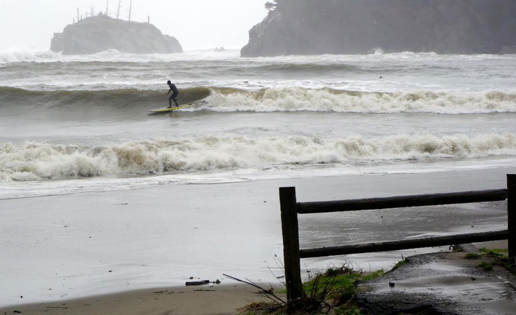
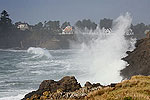
(Bandon, Oregon) – Major winds and surf are headed for the coastline of Oregon and mammoth winds on the whole of the Washington coast as well, with the National Weather Service (NWS) issuing a variety of warnings for the region. The Cascades are set to get hit by some heavy snow (possibly shutting down that part of Highway 26), but the coastal portion of Highway 26 and other routes in the Coast Range will be getting a touch of wet snow. (Sunset Bay during storm - courtesy Brent Lerwill)
It's going to be quite active out there.
Includes exclusive listings; some specials in winter
In Cannon Beach:
Includes rentals not listed anywhere else
In Manzanita, Wheeler, Rockaway Beach:
Some specials for winter
In Pacific City, Oceanside:
Some specials for winter
In Lincoln City:
Some specials for winter
In Depoe Bay, Gleneden Beach:
Some specials for winter
In Newport:
Look for some specials
In Waldport
Some specials for winter
In Yachats, Florence
Some specials for winter
Southern Oregon Coast Hotels / Lodgings
Reedsport to Brookings, places to stay; winter deals
High Surf Warning: South Oregon Coast: A series of hurricane-force winds are behind some major swells coming into the areas of Reedsport, Coos Bay, Gold Beach, Brookings, Port Orford and Bandon. This is in effect 10 a.m. Tuesday through 4 p.m. Wednesday.
Wave height offshore will hit 36 feet at some point, but the NWS is predicting still-large and dangerous waves of 25 to 30 feet breaking onshore.
Stay off south coast beaches, the NWS said.
“The largest breaking waves are expected along south facing shorelines, such as the beaches near Brookings, Port Orford, and Cape Blanco,” the NWS said.
On the north Oregon coast and Washigton coast, the NWS has forecast peak waves offshore at “20-26 ft at 13-15 seconds Tuesday afternoon into late Tuesday night,” but it has not issued any advisories or warnings for these areas. It is best to seriously watch those waves as well, anywhere between Florence and Astoria and up through Washington. Those numbers could still trigger warnings.
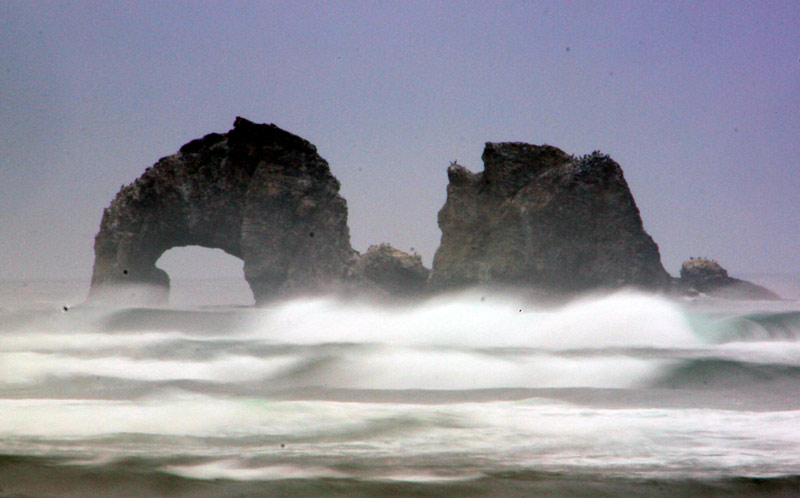
Oregon Coast Range: High Wind Warning. In effect from Tuesday 4 p.m. to the overnight hours, the NWS said south winds 25 to 35 mph with gusts up to 60 mph are expected. This covers the north and central coast range from Florence to Astoria.
Northern Half of Oregon Coast: High Wind Warning. Starting 4 p.m. Tuesday and ending 12 hours later, the wind gust possibilities are the same as above, including south winds at least 20 mph.
“Stronger gusts to 70 mph are possible on beaches and headlands,” the NWS said.
The warning includes Florence, Yachats, Newport, Lincoln City, Pacific City, Oceanside, Manzanita, Seaside and Cannon Beach.
South Oregon Coast: High Wind Warning. From 10 a.m. Tuesday to 4 a.m. on Wednesday, gusts up to 70 mph are expected. It affects the towns of Reedport, Coos Bay, Nesika, Port Orford, Bandon, Gold Beach and Brookings.
What's the Difference Between King Tides and Oregon / Washington Coast Storm Wave Events
“Damaging winds could blow down trees and power lines and damage buildings. Power outages are expected. Travel will be difficult, especially for high profile vehicles,” the NWS said.
South Washington Coast: High Wind Warning. The NWS declared this for Long Beach up through Raymond, saying 60 mph gusts are possible. It is in effect from 4 p.m. Tuesday to 4 a.m. Wednesday.
See Washington Coast Weather - Oregon Coast Weather (including tides)
North Washington Coast: High Wind Warning. In effect from 2 p.m. Tuesday through 4 a.m. Wednesday, it covers La Push, Queets, Prairie Ridge, Aberdeen, Woodinville and Hoquiam, among others. Gusts up to 65 mph are likely.
Oregon Coast Range: Winter Weather Advisory in effect until 10 p.m. Monday night. Wet snow happens above 2,000 feet (which eliminates the vast majority of the Coast Range). You may encounter some minor slush later tonight. MORE STORM PHOTOS BELOW
Oregon Coast Hotels for this event - South Coast Hotels - Oregon Coast Vacation Rentals - Where to eat - Maps - Virtual Tours
Oregon Coast Vacation Rentals
Oregon Coast Lodging Specials
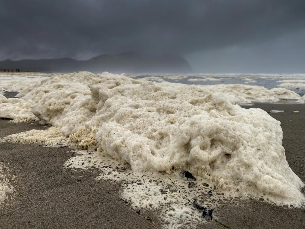
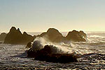
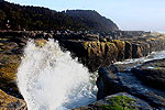
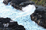
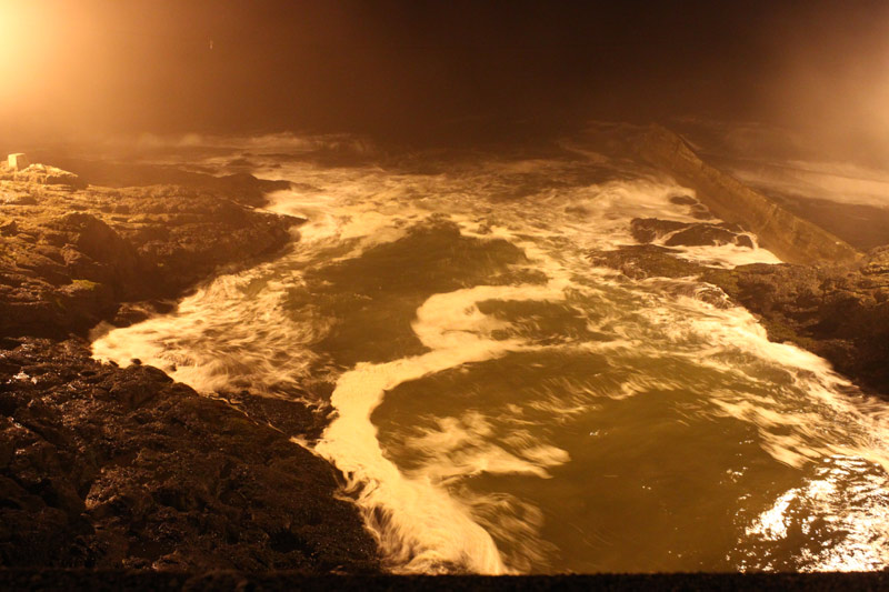
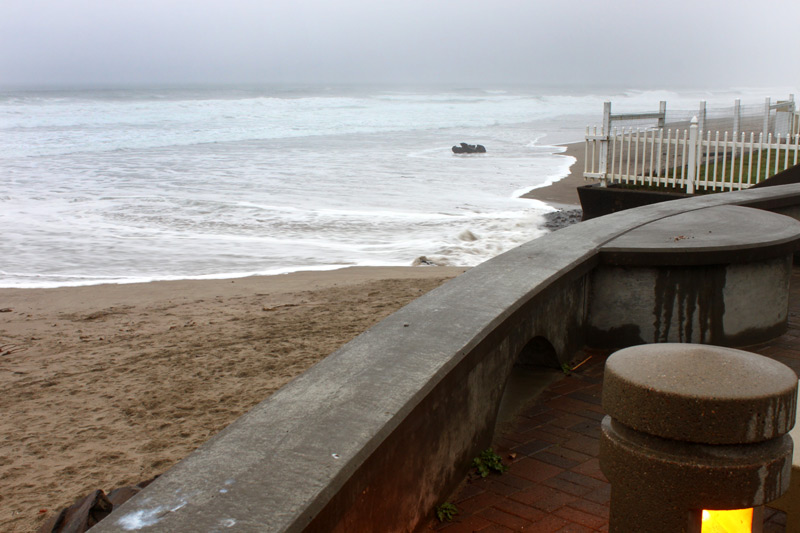
Above: photo Seaside Aquarium. Below: photos Oregon Coast Beach Connection
More About Oregon Coast hotels, lodging.....
More About Oregon Coast Restaurants, Dining.....
 Andre' GW Hagestedt is editor, owner and primary photographer / videographer of Oregon Coast Beach Connection, an online publication that sees over 1 million pageviews per month. He is also author of several books about the coast.
LATEST Related Oregon Coast Articles
S. Oregon Coast Rescue Yields Spectacular Helicopter Photos - BandonA man having a mental crisis climbed to the top of a dangerous rock. Beach safety
Central Oregon Coast Jazz Gig Shows Off Hints of African, Caribbean
Adam Moezinia's Folk Element Trio plays Lincoln City Jan 21. Lincoln City events
Oceanfront Kitchettes in Seaside, Near Gearhart, Near Cannon Beach
Large rooms right up against the surf and Promenade. Watch for whales as you prepare a meal. Seaside reviews, hotel reviews, specials
Some Minor Traffic Issues / Construction for Lincoln City, OR 18B to Oregon C...
Work begins next week in Lincoln City and Willamina / Sheridan
Ice and Snow Travel Alerts Throughout SW Washington, Oregon, Coast Range
Winter storm warnings some areas, winter advisories Coast Range / Washington, mostly high elevations. Weather. McMinville, Portland, Vacouver, Gorge, Salem, Eugene, Corvallis, Bend
Last Night's Aurora Shots from Oregon Coast
A strong storm seen from Newport, Bandon, Port Angeles, Florence, Pacific City, Cannon Beach and more. Astronomy. Sciences
Like One Gigantic South Oregon Coast Lodging Special for Coos Bay, North Bend...
Winter's Local Vacation Loot brings you freebies at dining, adventures. Hotel specials. Coos Bay events
Brays Point: Expansive View Near Middle of Oregon Coast Hiding in Plain Sight
Between Yachats and Florence, Brays Point stands out in a standout stretch
Back to Oregon Coast
Contact Advertise on Oregon Coast Beach Connection
All Content, unless otherwise attributed, copyright © Oregon Coast Beach Connection. Unauthorized use or publication is not permitted


