Higher Danger of Sneaker Waves S. Washington Coast Through S. Oregon Coast Sun - Tues
Published 12/08/24 at 3:15 p.m.
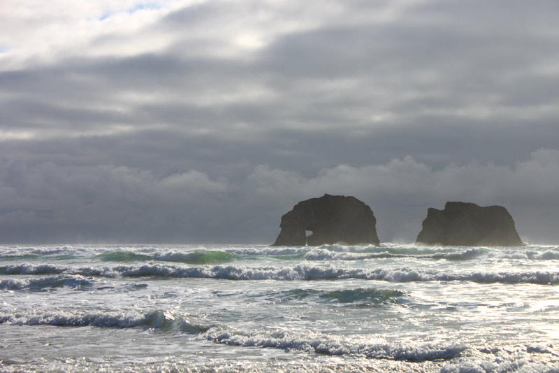
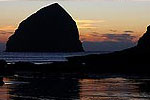
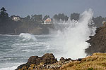
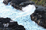
(Newport, Oregon) – The south Washington coast through to south Oregon coast are under slightly different beach hazards statements, issued from the National Weather Service (NWS). There is a fairly strong possibility of sneaker waves along both segments of the Pacific Northwest shoreline, with offshore waves in excess of 15 feet with very long periods between swells. (Above: Rockaway Beach / Oregon Coast Beach Connection)
Includes exclusive listings; some specials in winter
In Cannon Beach:
Includes rentals not listed anywhere else
In Manzanita, Wheeler, Rockaway Beach:
Some specials for winter
In Pacific City, Oceanside:
Some specials for winter
In Lincoln City:
Some specials for winter
In Depoe Bay, Gleneden Beach:
Some specials for winter
In Newport:
Look for some specials
In Waldport
Some specials for winter
In Yachats, Florence
Some specials for winter
Southern Oregon Coast Hotels / Lodgings
Reedsport to Brookings, places to stay; winter deals
There was also a dense fog advisory for the south coast, which expired today.
The NWS has declared the extra danger of sneaker waves in effect through late tonight (Sunday) on the south Washington coast and northern half of Oregon's coast (Clatsop, Tillamook, Lincoln and Lane counties). The southern Oregon coast has a different time period: dangers are increased Monday through Tuesday afternoon.
See Oregon Coast Weather (including tides) - Inland Oregon Weather
These waves can dart up the beach much faster than others – and much farther. You'll encounter a much greater risk of being knocked off your feet and even dragged into surf.
“Don't make the beach your grave,” the NWS said. “Constantly watch the ocean for changes in wave patterns! Watch the ocean for at least 20 minutes. Study its wave patterns. Get a feel for the pattern of the waves before relaxing on the beach or engaging in recreational activities. Stay farther back from the ocean than you think is necessary.”
The beach hazard statement for all of Sunday is for Long Beach, Seaside, Cannon Beach, Manzanita, Oceanside, Rockaway Beach, Pacific City, Lincoln City, Newport and Yachats.
For the south coast, Monday and Sunday increase the risks for Coos Bay, Bandon, Gold Beach, Port Orford and Brookings.
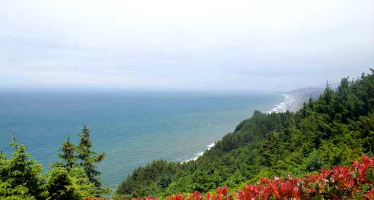
Cape Sebastian / OPRD photo
“Sneaker waves can run up significantly farther on beaches than normal, including over rocks and jetties. These waves can suddenly knock people off of their feet and quickly pull them into the cold ocean waters, resulting in serious injury or death. Waves may also lift driftwood logs, trapping anyone caught underneath”.
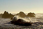
Along the northern half, offshore waves hit 14 to 17 feet today, with 14 seconds between swells. That latter part means a lot of energy piling up on occasion, which brings in powerful sneaker waves.
On the south coast, swells are around 9 feet or just a bit higher tomorrow and Tuesday, with timing at 13 seconds.
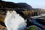
Note: this won't translate to big wave displays at areas like Shore Acres or Cape Disappointment. It will only mean more dangerous beaches.
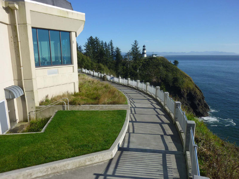
Cape Disappointment, Washington - courtesy Washington State Parks
There looks to be a lull in ocean conditions after Monday – and some amounts of sun mixed with the wilder weather.
“Active weather remains in theforecast for the end of the week, with gusty winds and steep seas possible over the weekend and beyond,” the NWS said. “King tides may also play a role in marine conditions over next weekend.”
Oregon Coast Hotels for this event - South Coast Hotels - Oregon Coast Vacation Rentals - Where to eat - Maps - Virtual Tours
Oregon Coast Vacation Rentals
Oregon Coast Lodging Specials
More About Oregon Coast hotels, lodging.....
More About Oregon Coast Restaurants, Dining.....
 Andre' GW Hagestedt is editor, owner and primary photographer / videographer of Oregon Coast Beach Connection, an online publication that sees over 1 million pageviews per month. He is also author of several books about the coast.
LATEST Related Oregon Coast Articles
Lincoln City's Oceanview Walk Park May be Tiniest on Oregon CoastSqueezed between two buildings, it's the high vantage point no one knows. Travel, Depoe Bay, Newoport, Pacific City
Oregon's Tillamook Coast Hosts Rigorous Kayaking, Hiking Events in May
Netarts events May 17 and 31; Manzanita events May 14
Orcas Return to Central Oregon Coast on Mother's Day - with a Baby Killer Whale
First report had them chasing dolphins near Astoria. Marine sciences
Gnarly Lancetfish Found on N. Oregon Coast - and No, It's Not a Barracuda
Found in Seaside still intact, they were able to examine it. Marine sciences, Seaside Aquarium
Winema Wayfinding Point or Pacific Crest Wayside: an Oregon Coast Puzzle
Between Neskowin and Pacific City sits a viewpoint with two names. Travel tips
South Oregon Coast Events Bring Two Ways to Take a Wild Ride in Bandon, Coos Bay
UTV Takeover June 24 - 29 near Coos Bay, July 4 Cardboard Boat Regatta in Bandon. S. Coast events
Sip and Stroll Yachats Returns, Filling Oregon Coast Town with Vino and Delights
Saturday, April 19, 2025 going from 12 to 5 p.m. Yachats events
Daily Flights from Denver, Colorado to South Oregon Coast Begin This Week
United now flying to North Bend's Southwest Oregon Regional Airport. Coos Bay, travel tips
Back to Oregon Coast
Contact Advertise on Oregon Coast Beach Connection
All Content, unless otherwise attributed, copyright © Oregon Coast Beach Connection. Unauthorized use or publication is not permitted


