High Wind Watch, Warning for Oregon Coast / Washington Coast, Active Weekend
Published 11/02/21 at 5:26 AM PDT - Updated 11/02/21 at 5:56 PM PDT
By Oregon Coast Beach Connection staff
Includes exclusive listings; some specials in winter
In Cannon Beach:
Includes rentals not listed anywhere else
In Manzanita, Wheeler, Rockaway Beach:
Some specials for winter
In Pacific City, Oceanside:
Some specials for winter
In Lincoln City:
Some specials for winter
In Depoe Bay, Gleneden Beach:
Some specials for winter
In Newport:
Look for some specials
In Waldport
Some specials for winter
In Yachats, Florence
Some specials for winter
Southern Oregon Coast Hotels / Lodgings
Reedsport to Brookings, places to stay; winter deals
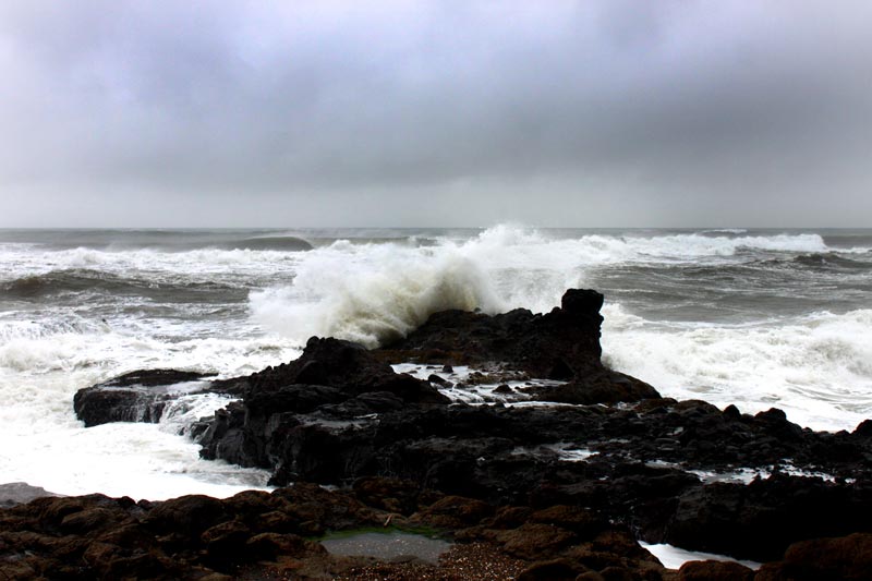
(Oregon Coast) – [UPDATE: HIGH WIND WARNING FOR SOUTH COAST, WARNING LIKELY FOR NORTH] - What the National Weather Service (NWS) is calling an “active weather” pattern this week kicks off Wednesday and Thursday with a high wind watch and a high wind warning for different sections. There's the possibility of gusts up to 60 mph from the southern Oregon coast through the middle of the Washington coast. There could be some lively surf as well, but as yet nothing especially dangerous.
IGH WIND WARNING IN EFFECT FROM 8 PM WEDNESDAY TO 8 AM PDT THURSDAY... * WHAT...South winds 35 to 45 mph wi
It may mean some good storm watching, however. The first set of King Tides occurs close on the heels, starting on Friday.
The NWS issued a high wind watch for late Wednesday night through Thursday afternoon, for the areas of Florence up through the central Washington coast, but the high watch for the south coast was changed to a high wind warning. It all starts at Gold Beach and ends up around Raymond, Washington. South winds of 20 to 30 mph are expected, but higher on the south coast. Beaches and headlands through regions from Coos Bay, Florence, Newport, Oceanside, Cannon Beach to Long Beach and beyond could be seeing gusts up to 60 mph.
The high wind watch for the Oregon and Washington coast will likely be changed to a high wind warning.
“Damaging winds could blow down trees and power lines,” the NWS said. “Widespread power outages are possible. Travel could be difficult, especially for high profile vehicles. Monitor the latest forecasts and warnings for updates on this situation. Fasten loose objects or shelter objects in a safe location prior to the onset of winds.”
On the southern Oregon coast, the NWS said the strongest winds will happen at southern-facing capes and headlands.
Offshore, the NWS is issuing a variety of small craft advisories over the week and expecting heavy gales out at sea, especially later in the week.
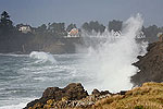
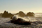
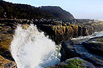
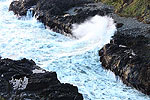
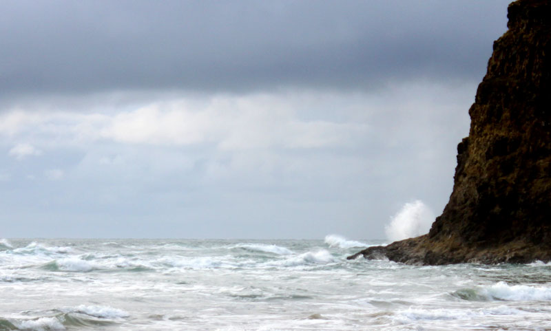
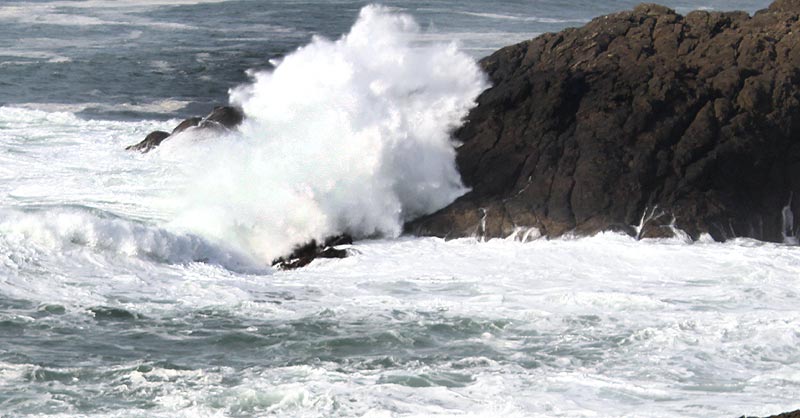
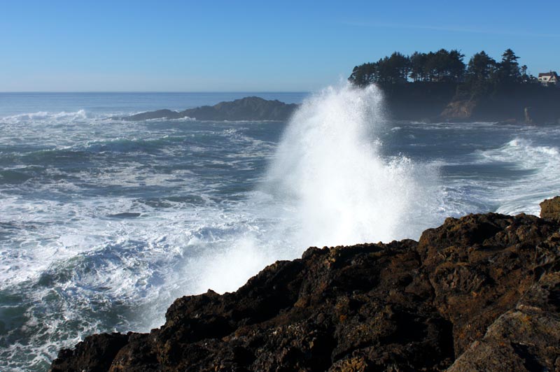
The NWS said offshore combined seas will build to 12 to 14 feet, which often translates into a decent wave show along rocky spots. Washington's Cape Disappointment and Coos Bay's Shore Acres could well make a bit of a spectacle for storm watchers.
See Oregon Coast Weather - Washington Coast Weather
“Seasonably cool and wet” is how the NWS is describing the days after the high wind watch for the Pacific Northwest in general, but it is not known at this time if any storm watch conditions will be present on the beaches, other than lots of rain and gusts.
“Models seem to be coming into better agreement that active weather will continue through the weekend and likely into early next week, which is fairly typical for this time of year,” the NWS said.
Oregon Coast Hotels for this event - South Coast Hotels - Where to eat - Maps - Virtual Tours
Cannon Beach Lodging
Nehalem Bay Lodgings
Manzanita Hotels, Lodging
Three Capes Lodging
Pacific City Hotels, Lodging
Lincoln City Lodging
Depoe Bay Lodging
Newport Lodging
Waldport Lodging
Yachats Lodging
Oregon Coast Vacation Rentals
Oregon Coast Lodging Specials
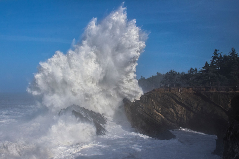
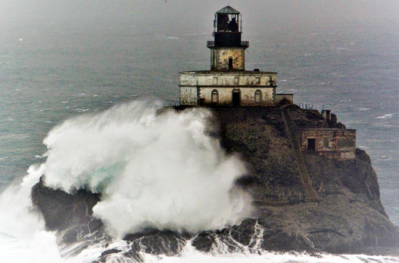
Photo courtesy Seaside Aquarium
More About Oregon Coast hotels, lodging.....
More About Oregon Coast Restaurants, Dining.....
LATEST Related Oregon Coast Articles
The sixth in the NW in three weeks; early indications suggest it may have been undernourished. Marine sciences
Now Begins the 'Season of Satellites' Above Oregon, Washington: Summer's Surr...
Not even counting meteors, these satellite trains can create wild colors and streaks in the sky. Astronomy, weather. Brookings events, Gold Beach events, Port Orford events, Coos Bay events, Bandon events, Florence events, Yachats events, Newport events, Lincoln City events, Rockaway Beach events, Manzanita events, Cannon Beach events, Seaside events, Astoria events
7-Day Parking Meters Return to Central Oregon Coast Town, and Now to Nye Beac...
Newport?s Bayfront will charge all week, and the Nye Beach Turnaround will now do the same. Travel tips, traffic
87th Annual Azalea Fest Readies Its Return for Memorial Day Weekend on S. Ore...
Brookings brings back the long-running festival over Memorial Day weekend, May 22?25. Brookings events
Harrowing Accident Scene on S. Oregon Coast Turns Into Search for Driver and ...
Sheriffs found an empty vehicle and searched nearly 24 hours before locating the driver. Traffic
Another Dead Whale Stranding, This Time Near Yachats on Central Oregon Coast
Reports differ on whether it was alive at first; scientists are examining the carcass. Marine sciences
Washington Coast Cleanup Scours Inner and Outer Coast, April 25
Volunteers are needed along the outer coast and throughout the Salish Sea. Washington coast events
4th of July at N. Oregon Coast's Sand Lake Now Requires Pre-Sales for Camping...
Congestion and overcrowding in recent years at Sand Lake Recreation Area near Pacific City. Traffic, travel tips
Back to Oregon Coast
Contact Advertise on BeachConnection.net
All Content, unless otherwise attributed, copyright BeachConnection.net Unauthorized use or publication is not permitted


