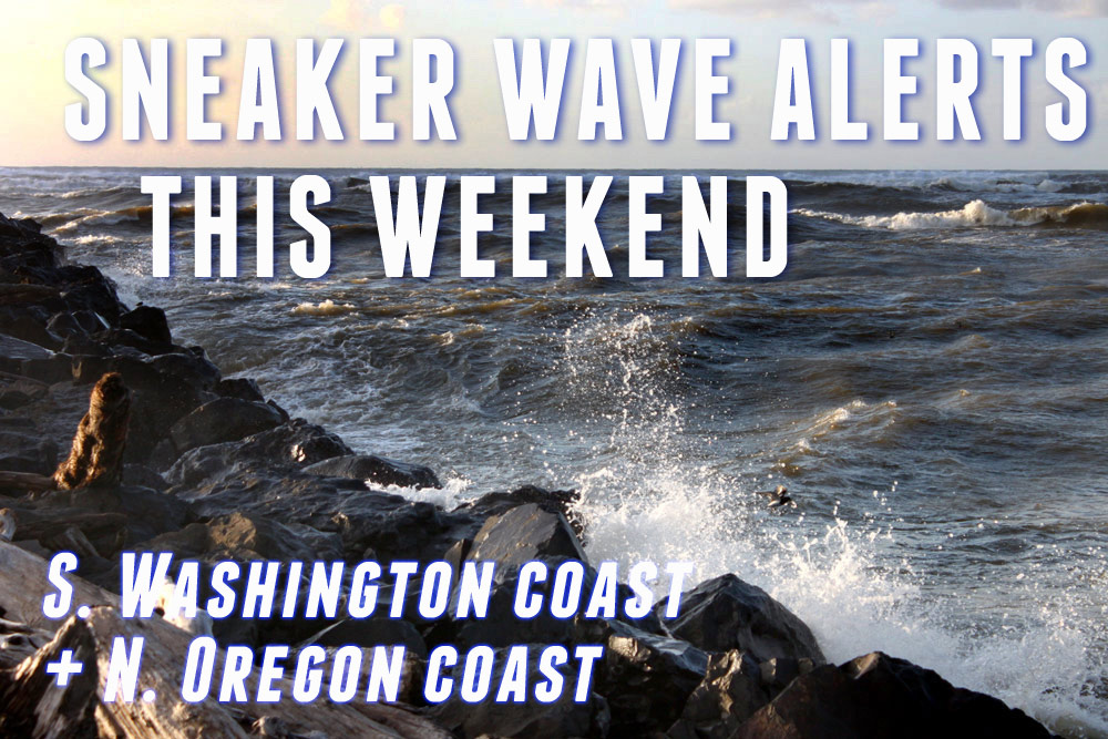
Increased Chance of Bigger Sneaker Waves This Weekend: Alerts for Oregon / Washington Coast
Published 04/04/25 at 8:25 p.m.
By Oregon Coast Beach Connection Staff
(Manzanita, Oregon) – A beach hazards statement has been issued for just about the entire length of the Oregon coast and parts of the south Washington coast for this weekend, with the National Weather Service (NWS) saying there is an increased chance of sneaker waves on beaches from Long Beach down through Brookings – and even into northern California.
Includes exclusive listings; some specials in winter
In Cannon Beach:
Includes rentals not listed anywhere else
In Manzanita, Wheeler, Rockaway Beach:
Some specials for winter
In Pacific City, Oceanside:
Some specials for winter
In Lincoln City:
Some specials for winter
In Depoe Bay, Gleneden Beach:
Some specials for winter
In Newport:
Look for some specials
In Waldport
Some specials for winter
In Yachats, Florence
Some specials for winter
Southern Oregon Coast Hotels / Lodgings
Reedsport to Brookings, places to stay; winter deals
While not an advisory or a warning yet, there are still increased dangers on the beaches, said the NWS.
From Florence up through Ocean Shores, the increased possibilities of sneaker waves is from Saturday through Monday morning. On the southern Oregon coast, the beach hazards statement is in effect from Saturday through Sunday afternoon, but it carries a slightly stronger wording of a “moderate” chance of sneaker waves. That area from Reedsport southward carries a bigger punch, especially so south of Port Orford.
The north Oregon coast hazards statement includes Long Beach, Seaside, Manzanita, Pacific City, Newport, Lincoln City and Florence.
SEE - Washington Coast Weather - Oregon Coast Weather - Inland Oregon Weather
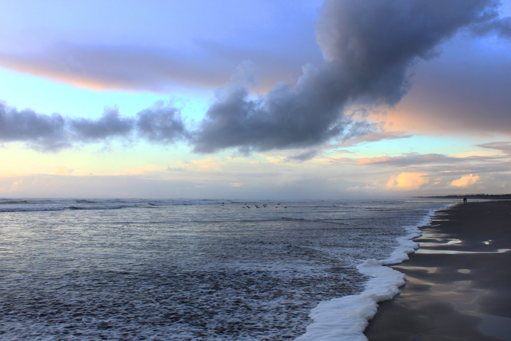
“Waves can run up significantly farther on a beach than normal, including over rocks and jetties,” the NWS said. “Sneaker waves can suddenly knock people off of their feet and quickly pull them into the frigid ocean which may lead to serious injury or drowning.”
In essence, be extra careful while cavorting around the sands of the Washington coast and Oregon coast, especially since the weather will be fantastic on Saturday. It may be a good idea to keep out of smaller beaches with no quick exit (such as Oceanside, Gleneden Beach, areas between Gold Beach and Brookings, or Waikiki Beach in Washington).
Areas with lots of large logs like at Lincoln City's Taft, northern Rockaway Beach or below Cape Disappointment will be a bad idea, as the ocean can easily pick up a log and pin you down.
Why is there a sneaker wave alert?
The NWS is noting an extremely long period between swells, which is what can cause swells to pile up on each other and then put much more force into the energy of those breakers. That causes them to charge up the beach faster, harder and more unexpectedly.
It begins out at sea.
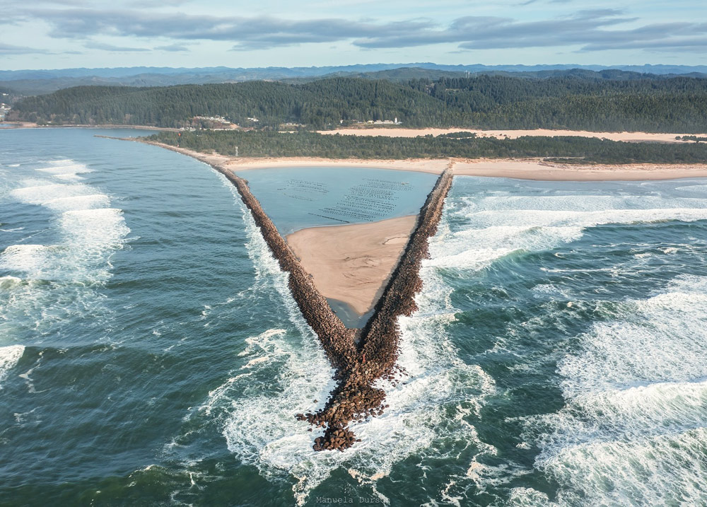
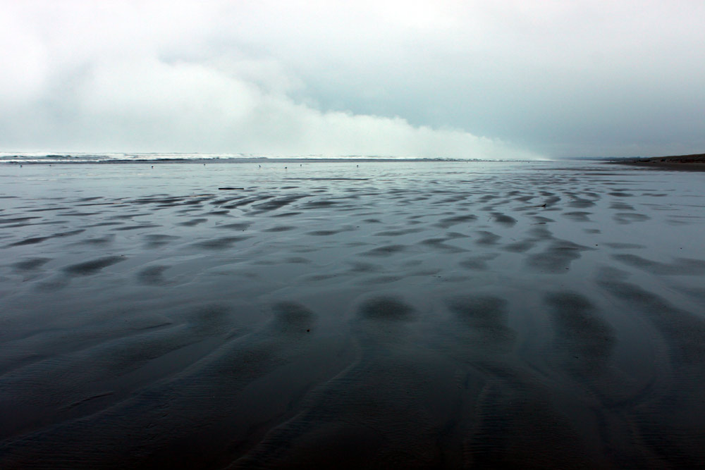
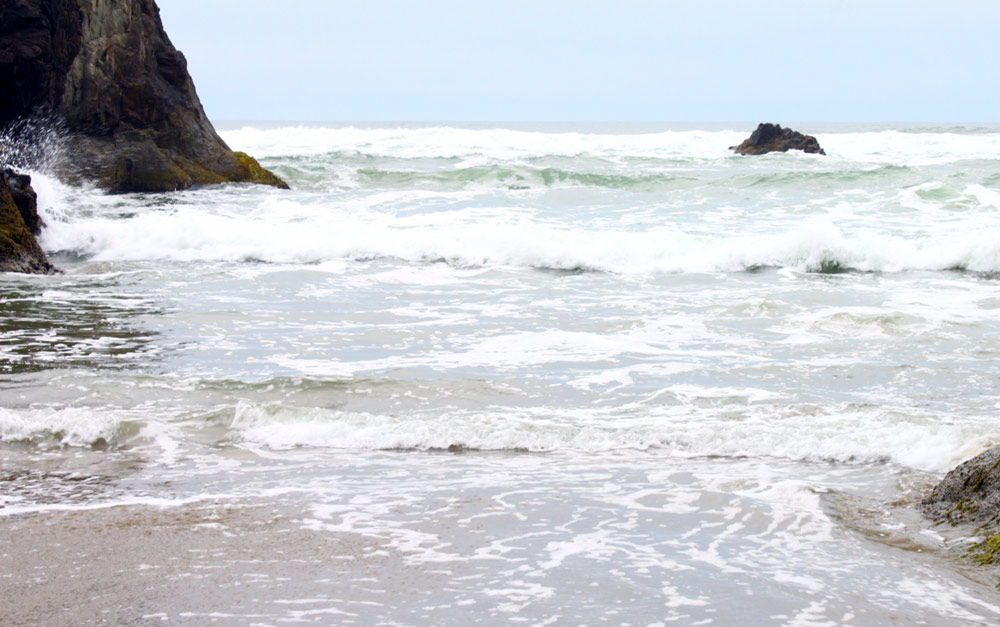
Above: Winchester Bay's Ziolkuski Beach - Manuela Durson - Manuela Durson Fine Arts
“A fresh westerly swell will also push into the waters during this time and will result in building seas,” the NWS said. “By late Saturday/early Sunday expect 6 to 8 ft at 10 seconds and 11 to 13 ft at 17 seconds by Sunday afternoon. Elevated winds and seas will persist through the middle of next week as a series of weak systems will result in an active pattern.”
The breakers themselves are not that large: only 6 to 13 feet. It's that “17 seconds” figure that you need to worry about.
Oregon Coast Hotels for this event - South Coast Hotels - Oregon Coast Vacation Rentals - Where to eat - Maps - Virtual Tours


Oregon Coast Vacation Rentals
Oregon Coast Lodging Specials
More About Oregon Coast hotels, lodging.....
More About Oregon Coast Restaurants, Dining.....

 Andre' GW Hagestedt is editor, owner and primary photographer / videographer of Oregon Coast Beach Connection, an online publication that sees over 1 million pageviews per month. He is also author of several books about the coast.
LATEST Related Oregon Coast Articles
Search for Missing Teen Called Off After Involving Coast Guard from Washingto...Two companions that tried to help also needed rescue at Long Beach. Beach safety, sciences
Be Jeweled Returns to Central Oregon Coast, Newport's Dazzling, Arty Jewelry ...
Saturday, May 10, from 10 AM to 4 PM featuring more than 2,000 pieces. Newport events
Rare Sperm Whale Stranding on N. Oregon Coast, Was Hit by Boat
Showing up near Gearhart, it will decompose naturally. Marine sciences
Plane Skids Off Runway on S. Oregon Coast, Into Coos Bay Waters
All five were rescued and are okay
Newport's Oregon Coast Jazz Party Announces Lineup for 2025
October 3-5 in the Alice Silverman Theatre at Newport Performing Arts Center. Newport events
Oregon Coast Hiking Hotspot Closes Briefly: Saddle Mountain Near Seaside, Hwy...
Closure from May 6 to 10, some lane closures on Hwy 26. Cannon Beach, Manzanita, Astoria
Coos Bay in Summer 2025: Includes History Talk, Oregon Coast Music Festival, ...
Coos Museum Tuesday Talk June 3; Oregon Coast Music Festival Bandon to Coos Bay, July 12 to 26; North Bend July Jubilee July 18 - 20. South Coast events
Dark Sky Week is Prime Along Oregon Coast: Where and Where Not to Go
General guide to dark sky viewing from south to north coast. Astronomy
Back to Oregon Coast
Contact Advertise on Oregon Coast Beach Connection
All Content, unless otherwise attributed, copyright © Oregon Coast Beach Connection. Unauthorized use or publication is not permitted

Oregon
Coast Hotels
S. Coast Hotels
Astoria/Warrenton Hotels
Seaside Hotels
Cannon
Beach Hotels
Nehalem Bay Lodgings
Manzanita Hotels, Lodging
Rockaway Beach Hotels
Three Capes Lodging
Pacific City Hotels, Lodging
Lincoln
City Lodging
Depoe
Bay Hotels
Newport Hotels
Waldport Lodging
Yachats
Hotels
Florence Hotels
Reedsport Hotels
Coos Bay Hotels
Bandon Hotels
Port Orford Hotels
Gold Beach Hotels
Brookings Hotels
Oregon
Coast Vacation Rentals
Oregon
Coast Lodging Specials
South Coast Hotels
Dining
Guide
Seaside
Cannon
Beach Dining
Manzanita,
Rockaway, Wheeler Dining
Pacific
City, Oceanside, Netarts, Tierra Del Mar Restaurants
Tillamook
Bay Restaurants, Dining
Lincoln
City Dining, Restaurants
Depoe
Bay Restaurants, Dining
Newport Restaurants, Dining
Waldport,
Yachats Restaurants, Dining
Florence Restaurants, Dining
Restaurant
Reviews
Coast
Events Calendar
Astoria
Seaside,
Cannon Beach Calendar
Manzanita,
Rockaway Events
Tillamook,
Pacific City Calendar
Lincoln
City Events Calendar
Newport,
Depoe Bay Events Calendar
Yachats Events Calendar
Oregon Coast Complete Guides every beach access, attraction
Search for Oregon Coast Subjects, Articles
Explore Every Beach Spot


News Headlines from All Over Oregon Need to scan Oregon headlines? Constantly updated news from all over Oregon: a comprehensive, up-to-the-minute display of news headlines from a variety of media
Oregon Coast Oceanfront Lodging, Hotels, Rentals