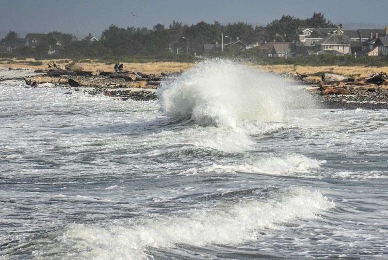
Final, Dramatic Round of King Tides for Oregon / Washington Coast: Photogs Needed
Published 01/08/21 at 4:41 PM PDT - Updated 01/08/21 at 4:48 PM PDT
By Oregon Coast Beach Connection staff
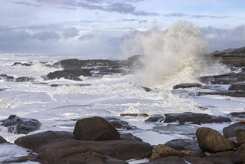
(Cannon Beach, Oregon) – The final set of king tides for the Oregon coast and the Washington coast are coming up on January 11 – 13, bringing massive waves to just about every beach and harbor in the region. From Brookings, Gold Beach, Coos Bay, Florence to Lincoln City, Seaside and up through Westport and La Push, it means an army of volunteers help document the highest point reached by these highest of tides. (Above: king tides at Yachats, courtesy Rena Olson)
Includes exclusive listings; some specials in winter
In Cannon Beach:
Includes rentals not listed anywhere else
In Manzanita, Wheeler, Rockaway Beach:
Some specials for winter
In Pacific City, Oceanside:
Some specials for winter
In Lincoln City:
Some specials for winter
In Depoe Bay, Gleneden Beach:
Some specials for winter
In Newport:
Look for some specials
In Waldport
Some specials for winter
In Yachats, Florence
Some specials for winter
Southern Oregon Coast Hotels / Lodgings
Reedsport to Brookings, places to stay; winter deals
Both states have their own version of the King Tides Project. In Oregon, it’s coordinated by the CoastWatch Program of the Oregon Shores Conservation Coalition, and the Oregon Coastal Management Program, a branch of the Department of Land Conservation and Development. From modest beginnings in 2010, the project has grown to the point that more than 100 volunteer photographers contributed more than 400 photos to the project’s archives last winter. Anyone with a camera or cell phone can participate.
Along the Washington coast and inner seas, it’s put together by Washington Sea Grant and University of Washington. Along the inlet seas of Washington the king tides are January 13 – 15.
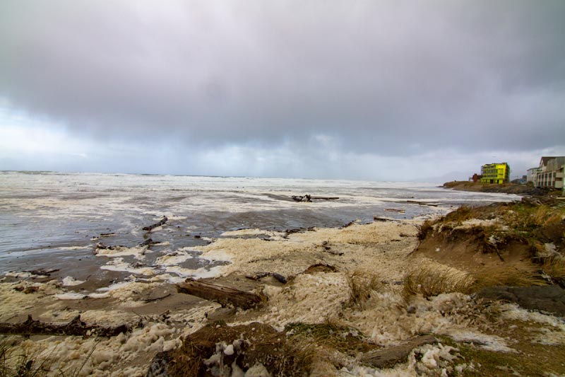
Rockaway Beach at King Tides, courtesy Lawrence Soto.
Anyone with a camera or cell phone can participate.
With each winter, there are three sets of high tides that coincide with the moon at its closest point to the Earth, as well as some interaction with the sun. This gravitational pull causes higher-than-normal tides.
The goal of this citizen science project is to encourage those visitors to the Oregon and Washington coastlines to submit photos they take of the king tides to help track sea level rise over time and reveal its impacts on both shorelines.
Photographers are also encouraged to snap shots of these same areas not just at king tides but at normal tidal situations as well. This allows a comparison. The hundreds of photos they take reveal current vulnerabilities to flooding. Even more important, they help scientists visualize and understand the coming impacts of sea level rise (such as flooding and erosion) to coastal communities.
To get a better view of the project, browse the Oregon king tides photo albums by season: https://www.flickr.com/photos/orkingtide/albums. You don’t have to be a scientist to understand and help to document how sea level rise may impact places in our own communities.
For the Washington coast, the King Tides submission site is https://mycoast.org/wa where you can also download the app to upload your shots.
For Oregon’s coastline, use www.oregonkingtides.net.
At both sites you can browse the insane images of flooding and beaches being overrun in each state.
For Washington coast king tides table see this link.
For Oregon coast tide tables use www.oregonkingtides.net.
Great caution is urged while shooting these natural wonders: many areas will be unusually dangerous due to extreme swells. The region is looking at a run of high seas offshore as well, which will be exacerbating the high waves. More photos below
See Oregon Coast Weather - Washington Coast Weather
Oregon Coast Hotels for this event - Where to eat - Map - Virtual Tour
Cannon Beach Lodging
Nehalem Bay Lodgings
Manzanita Hotels, Lodging
Three Capes Lodging
Pacific City Hotels, Lodging
Lincoln City Lodging
Depoe Bay Lodging
Newport Lodging
Waldport Lodging
Yachats Lodging
Oregon Coast Vacation Rentals
Oregon Coast Lodging Specials
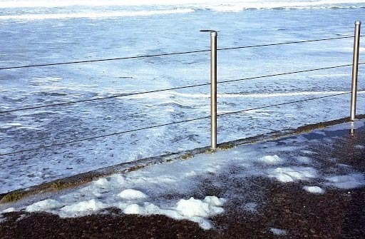
Above: courtesy Seaside Aquarium. Below: courtesy Oregon State Parks, showing Lincoln City's D River access awash in heavy wave action
More About Oregon Coast hotels, lodging.....
More About Oregon Coast Restaurants, Dining.....
LATEST Related Oregon Coast Articles
The building had also been robbed of pipes and copper by other thieves. True Crime, Astoria, Warrenton
Oregon Coast Crabbing Petition Denied, Rulemaking Process Remains on Course
A petition on procedural matters denied; no major changes yet. Whale
S. Oregon Coast Wind Warnings, Waves Up To 23 Feet
Gusts up to 65 and high waves for the weekend from Reedsport to Brookings. Weather
Newport Latest Oregon Coast Town to Ban Personal Fireworks Year-Round
City countcil voted this week; the pro fireworks display goes on as usual
Hazardous Seas Watch on N. Oregon Coast, S. Washington Coast, Waves Up To 15 Ft
Beaches will require caution but some good wave shows possible
Annual 'Maine' Event Returns to N. Oregon Coast's Seaside Aquarium
February 22 brings the fundraiser to Seaside. Seaside events
From Taking In Cool Oregon Coast Colors on the Patio to Seaside's Action
Review of Seaside's Seashore Inn on the Beach: spectacle with breakfast and your dog. Seaside hotel reviews
Oregon US Coast Guard Team Assists in Olympic National Forest Rescue
Helicopter team from Astoria rescued hikers on Washington's Mount Ellinor
Back to Oregon Coast
Contact Advertise on BeachConnection.net
All Content, unless otherwise attributed, copyright BeachConnection.net Unauthorized use or publication is not permitted


