Large Wave Issues Possible Early in Week on Oregon Coast, But Sunny Days Soon After
Published 11/01/24 at 4:55 a.m.
By Oregon Coast Beach Connection Staff
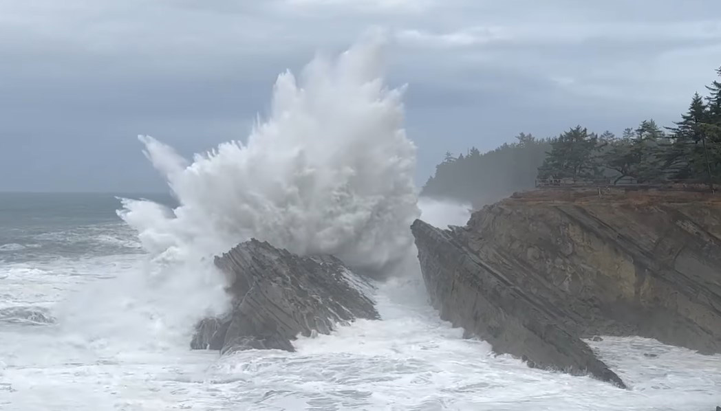
(Coos Bay, Oregon) – Wind, rain and some more high seas are in store for much of the Oregon coast this week and then there's some sun to be had mid-week as November starts off. (Still from video on Halloween 2024 by Oregon's Adventure Coast / Charleston / Coos Bay / North Bend)
Includes exclusive listings; some specials in winter
In Cannon Beach:
Includes rentals not listed anywhere else
In Manzanita, Wheeler, Rockaway Beach:
Some specials for winter
In Pacific City, Oceanside:
Some specials for winter
In Lincoln City:
Some specials for winter
In Depoe Bay, Gleneden Beach:
Some specials for winter
In Newport:
Look for some specials
In Waldport
Some specials for winter
In Yachats, Florence
Some specials for winter
Southern Oregon Coast Hotels / Lodgings
Reedsport to Brookings, places to stay; winter deals
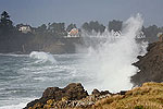
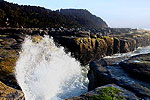
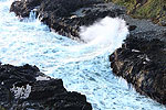
The southern Oregon coast just saw some rather large wave action with a high surf advisory expiring early on Friday. Indeed, Shore Acres near Coos Bay was putting an impressive show, with many capturing waves that were a good 100 feet out of the water. Oregon's Adventure Coast posted one sweet vid of the big breakers.
Both the northern half and southern half are going to sizably calm down for the next few days, but the National Weather Service (NWS) said offshore seas will start building again late in the weekend.
“Seas will subside to 8-10 ft Friday afternoon in the wake of the low as winds veer westerly and eventually northwesterly around 10-15 kt heading into the weekend,” said the NWS office in Portland. “Seas look to build back into the mid to upper teens early next week as another longer period swell arrives from the northwest.”
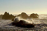
These predictions are for the waters of the upper half of the coast and south Washington coast. If they prove true closer to shore still remains to be seen. It will mean good storm wave action in areas like Depoe Bay.
Today’s High Surf did not disappoint! It was a bit wet out there but the power of the ocean was on full display. REMINDER: NEVER Turn Your Back on the Ocean.
Posted by Oregon's Adventure Coast: Coos Bay, North Bend, Charleston on Thursday, October 31, 2024
For the southern half, the NWS office in Medford said there is also a cooldown in wave height, but it's the calm before the storm.
“Another long period northwest swell, generated from a distant storm in the north Pacific (near the Aleutians currently) will arrive later Sunday into Monday,” the NWS in Medford said. “This one looks to bring peak wave heights in the 15-19 foot range again. Periods initially as the swell arrives will be near 24 seconds, then settle to around 16-18 seconds at the peak of the swell Sunday night into Monday morning.”
Long period swells are what create sneaker waves, and if that prediction holds true close to shore, keep an eye out for sneaker wave warnings or even really dangerous high surf warnings from the NWS.
Winds along the central Oregon coast (Florence, Yachats, Newport and Lincoln City) look to be somewhat heavy Friday, dying off over the weekend. This, plus the large waves likely coming to the entire coastline, are going to be the storm before the calm.
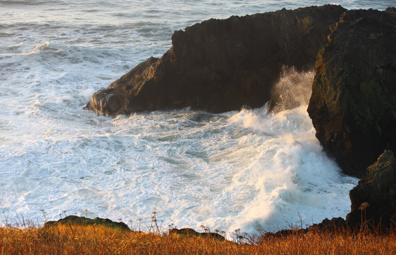
Newport - Oregon Coast Beach Connection
Tuesday, partly sunny conditions begin to creep into the forecasts, and by Wednesday the bulk of the coast is looking at sunny conditions for at least a day or so. Look for great photo weather out there and reserve your hotels / lodging now.
That holds true for inland areas as well.
See Washington Coast Weather - Oregon Coast Weather - Inland Oregon Weather
“After Monday, the general consensus is for dry weather to return Tuesday and lasting through Thursday,” the NWS said.
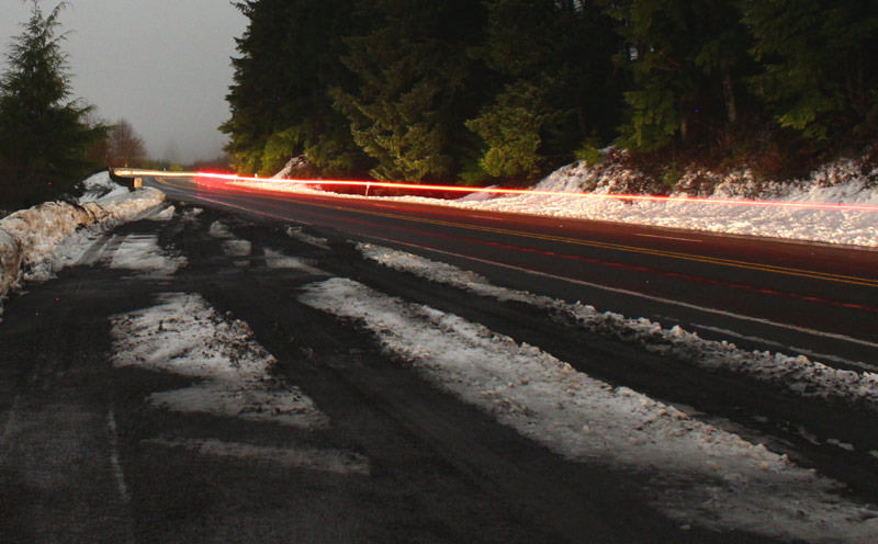
Oregon Coast Beach Connection
However, in higher elevations east of valley towns like Portland, Eugene or Medford, snow is starting to kick in. Winter weather advisories are lighting up everywhere along the Cascades.
More coastal stormwatch areas include Yachats, Oceanside and others.
Oregon Coast Hotels for this event - South Coast Hotels - Oregon Coast Vacation Rentals - Where to eat - Maps - Virtual Tours
Oregon Coast Vacation Rentals
Oregon Coast Lodging Specials
More About Oregon Coast hotels, lodging.....
More About Oregon Coast Restaurants, Dining.....
 Andre' GW Hagestedt is editor, owner and primary photographer / videographer of Oregon Coast Beach Connection, an online publication that sees over 1 million pageviews per month. He is also author of several books about the coast.
LATEST Related Oregon Coast Articles
Washington Coast Gets Another Green Light for Razor Clamming, April 26 - May 3Long Beach, Copalis, Twin Harbors and Mocrocks. Washington events
US Coast Guard Suspends Search Along Washington Coast for Missing Man
Captain of the Captain Raleigh disappeared when the ship sank. Beach safety
South Oregon Coast Landmark Under the Knife: Bandon's Face Rock Viewpoint Clo...
Set to reopen on May 23, parking lot and restroom closed, Depoe Bay, Cape Foulweather. Travel tips
Coos Bay in Summer 2025: Includes History Talk, Oregon Coast Music Festival, ...
Coos Museum Tuesday Talk June 3; Oregon Coast Music Festival Bandon to Coos Bay, July 12 to 26; North Bend July Jubilee July 18 - 20. South Coast events
Folk With An Energetic French Accent: Bon Debarras Comes to Central Oregon Co...
Lincoln City Cultural Center on Thursday, April 10. Lincoln City events
Astoria's Riverwalk Gets New Lighting, More N. Oregon Coast Roadwork
Delays coming this summer, but the riverwalk has a new look. Seaside, Cannn Beach
Oregon Coast Hiking Hotspot Closes Briefly: Saddle Mountain Near Seaside, Hwy...
Closure from May 6 to 10, some lane closures on Hwy 26. Cannon Beach, Manzanita, Astoria
Elephant Seal Resting on N. Oregon Coast Beach While Molting: Stay Away - Video
The process is painful but it needs to be left alone. Marine sciences
Back to Oregon Coast
Contact Advertise on Oregon Coast Beach Connection
All Content, unless otherwise attributed, copyright © Oregon Coast Beach Connection. Unauthorized use or publication is not permitted


