UPDATED: More Issues for Oregon, Valley, Coast Range; Big Waves
Published 01/15/2017 at 7:03 PM PDT - Updated 01/16/2017 at 6:13 PM PDT
By Oregon Coast Beach Connection staff
(Oregon Coast) – UPDATED: Yet another ice storm is coming for Portland and the Coast Range; traffic / travel issues through Tuesday night at least. High Winds coming for Oregon coast, Portland. Thawing of ice won't happen until Tuesday night. See full updated story here
The bad news: flooding is a real possibility for the Oregon coast, Portland and valley, while those areas and the coast range may also get hit with landslides.
Starting Monday, some great storm conditions will be hitting the beaches, however.
The National Weather Service (NWS) in Portland has issued a flood watch for all of northwest Oregon and southwest Washington, in effect for Tuesday through Thursday. Periods of heavy rains combined with snow melt will cause a sharp rise in local rivers and creeks starting Tuesday. On the Oregon coast and in the coast range, as much as four to eight inches of rain are expected.
“In addition to river flooding, some urban flooding is possible, especially in areas where snow and ice are blocking storm drains,” the NWS said.
The flood watch is for the north and central coast, the entire coast range, central and south Willamette Valley, the Portland area, and for the Cascade foothills.
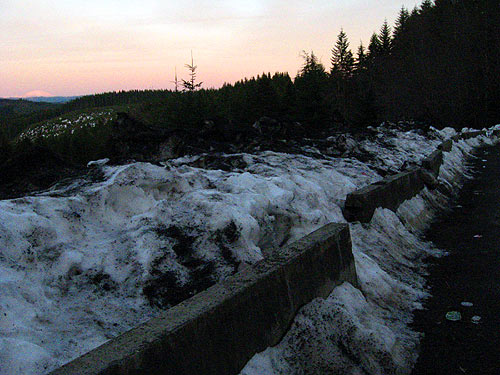
Freezing levels rise up over 8000 feet on Monday which will begin rapid snow melt by that evening. The NWS is posting warmer temps for Portland and the coast range than many of the local news outlets, so this could mean more melting and maybe a little less slippery slush in valley towns for those commuting on Monday afternoon. This should mean easier access to the Oregon coast by Monday afternoon, however, along routes like Highway 26, Highway 6 or Highway 18.
The heavy rains that follow will greatly increase the threat of flooding and landslides, however.
 Along the coastal passes, the NWS is calling for a high of about 38 on Monday day and rising to 44 degrees later in the evening as the rain kicks in. Tuesday and Wednesday is when the big rains start in earnest. This, combined with whatever blobs of slush may still be on the road, may make for somewhat tense driving conditions as visibility will also be affected.
On the Oregon coast, some rivers are already near flood stage, including the Nehalem River near Manzanita and the Wilson River by Tillamook.
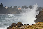
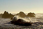
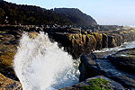
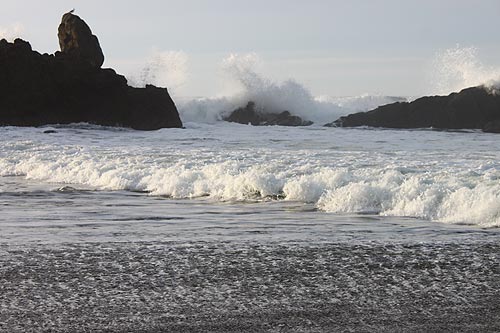
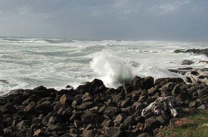
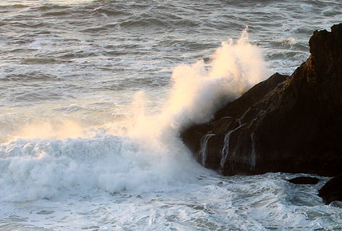
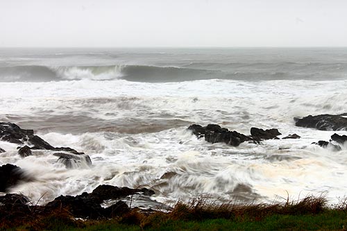
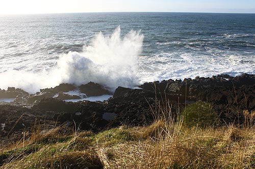
Although driving to the coast will have its trying moments on Tuesday, it will be worth it (and much better than the thick layers of ice currently on many parts of the coast range passes). The Oregon coast will be smack in the middle of a decent winter's storm which includes some mighty big waves. Wind gusts will be near 40 to 60 mph on beaches and headlands, although closer to 35 mph in the towns. On Wednesday winds may calm a bit, but rain will be heavy on both days.
Looking for stunning breakers this week. Ocean wave height will be enormous on the beaches through Thursday. On Tuesday, combined seas will be up around 23 feet, on Wednesday all the way up to 25 feet, and then down a little to 20 feet on Thursday. See Oregon Coast Weather. See Oregon Coast Traffic Conditions. Oregon Coast Hotels for this - Where to eat - Maps - Virtual Tours
More About Oregon Coast hotels, lodging.....
More About Oregon Coast Restaurants, Dining.....
Cannon Beach Lodging
Nehalem Bay Lodgings
Manzanita Hotels, Lodging
Three Capes Lodging
Pacific City Hotels, Lodging
Lincoln City Lodging
Depoe Bay Lodging
Newport Lodging
Waldport Lodging
Yachats Lodging
Oregon Coast Vacation Rentals
Oregon Coast Lodging Specials
LATEST Related Oregon Coast Articles
Likely just before dawn best hour but peak happens during daylight. Weather
Dark Sky Week is Prime Along Oregon Coast: Where and Where Not to Go
General guide to dark sky viewing from south to north coast. Astronomy
Sizable Price Drop, Deals in Lincoln City During Quiet of April on Central Or...
20 perc off at A1 Vacation Rentals across its roster, including Gleneden Beach. Lincoln City specials
Upcoming S. Oregon Coast Events Include Gem Show, History: Coos Bay, Bandon
May 6 talk at Coos History Museum, Mayfly Fest May 17, Bandon Rock / Gem Show June 7,8
Washington Coast Cleanup on April 19 - Coinciding with Oregon Coast's SOLVE E...
From the Puget Sound to Long Beach, alongside Oregon's cleanup. Washington coast events, Seaside events
Astoria's Riverwalk Gets New Lighting, More N. Oregon Coast Roadwork
Delays coming this summer, but the riverwalk has a new look. Seaside, Cannn Beach
April Gets Even Cheaper Midweek at Depoe Bay, Lincoln City: Oregon Coast Deals
Off-season rates plus more at Keystone Vacation Rentals. Depoe Bay lodging specials, Lincoln City hotel reviews, Newport hotel reviews
Washington Coast Begins Week of Clam Digs, April 12 Through 18
Long Beach, Twin Harbors, Mocrocks and Copalis at different times. Washington coast events
Back to Oregon Coast
Contact Advertise on BeachConnection.net
All Content, unless otherwise attributed, copyright BeachConnection.net Unauthorized use or publication is not permitted


