Mix of Snow, Sun, Sneaker Waves and Freezing Temps for Inland, Passes, Oregon and Washington Coast
Published 01/27/23 at 4:40 AM
By Oregon Coast Beach Connection staff
Includes exclusive listings; some specials in winter
In Cannon Beach:
Includes rentals not listed anywhere else
In Manzanita, Wheeler, Rockaway Beach:
Some specials for winter
In Pacific City, Oceanside:
Some specials for winter
In Lincoln City:
Some specials for winter
In Depoe Bay, Gleneden Beach:
Some specials for winter
In Newport:
Look for some specials
In Waldport
Some specials for winter
In Yachats, Florence
Some specials for winter
Southern Oregon Coast Hotels / Lodgings
Reedsport to Brookings, places to stay; winter deals
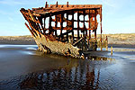
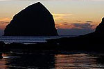
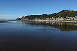
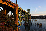
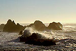
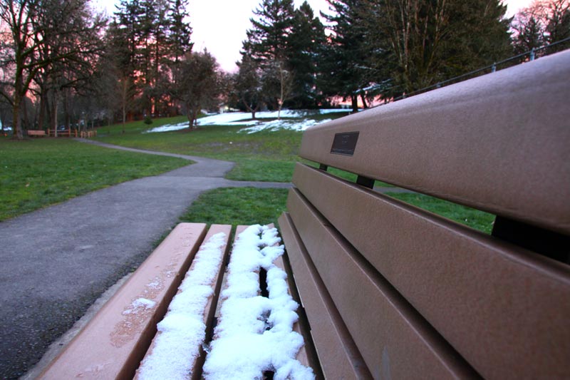
(Oregon Coast) – Quite a mixed bag of weather situations are headed to the Oregon coast and Washington coast, along with the passes to and from the beaches. Oregon's south coast has a good possibility of sneaker waves through later today (Friday), snow will be dusting the passes and likely the valley and I-5 corridor towns, and yet some sunny days at the beaches are in store this week. (Photo Oregon Coast Beach Connection)
The National Weather Service (NWS) in Medford still has a beach hazards statement out for the beaches of Coos, Douglas and Curry counties, where a good possibility of sneaker waves could spell dangerous moments. This is especially true for shorter beaches such as those next to Humbug Mountain, Otter Point near Gold Beach or much of Bandon's sands.
The NWS said this is because of a mix of swell trains, one coming from the northwest and the other from the west, calling it a high to medium chance of sneaker waves from Reedsport through Brookings. It expires later this afternoon.
“Even during calm conditions, sneaker waves can sweep up the beach without warning and knock unsuspecting people over and pull them out to sea,” the NWS said. “Shock and hypothermia can occur quickly in the cold Pacific waters.”
However, up on the north Oregon coast and south Washington coast, the NWS said there is a possibility of dangerous waves for a bit longer.
See Oregon Coast Weather - Washington Coast Weather
Watch the action from the Oregon Coast Sky Cams - Web Cams, Weather Cams
“There appears to be a marginal risk of sneaker waves Friday through Saturday,” the NWS in Portland said. “However, as mentioned above, the long period swell is expected to be on the order of 4 to 5 ft and will be combined with a much shorter period swell set.”
The lesson is: keep a watch out on beaches from Raymond down through Florence.
In the Oregon Coast Range and Willapa Hills, there are varying chances of snow on those passes. Late Saturday night, the snow level will start dropping – although there's a chance of some snow showers before 7 p.m. Little to no snow accumulation is expected.
That could well change on Sunday throughout Tuesday, however, as Willamette Valley towns like Eugene and Portland will periodically see snow levels go below 600 feet in some areas. While no major snow is expected in those areas, freezing overnight lows may make some travel through the Coast Range passes difficult after dark.
For ships and docks on the Oregon coast, the NWS said they could experience some freezing. Lows drop below 30 degrees in many areas from the coast eastward.
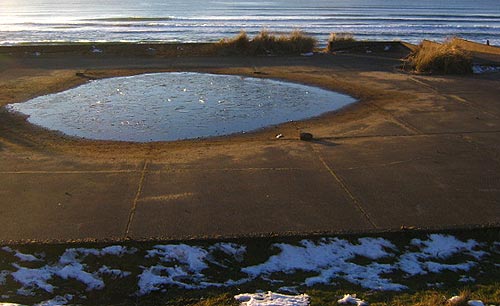
This could bring a rather interesting phenomenon to Oregon and Washington coast beaches: frozen snow at night. It's like when your grass is frozen in winter, but in this case the sand gets crunchy. It's a bit unusual for many people and kind of a delight, but for dogs experiencing it the first time it's often a kick in the pants to watch their reaction.
The NWS said much of the northwest part of the state and southwest Washington will be seeing some fairly breezy conditions, with winds 10 to 20 mph.
“That, along with the temperatures dropping into the 20s, will make for rather bracing wind chill values,” the NWS said. “If out and about Sat night, bundle up.”
Oregon Coast Hotels for this event - South Coast Hotels - Where to eat - Maps - Virtual Tours
Cannon Beach Lodging
Nehalem Bay Lodgings
Manzanita Hotels, Lodging
Three Capes Lodging
Pacific City Hotels, Lodging
Lincoln City Lodging
Depoe Bay Lodging
Newport Lodging
Waldport Lodging
Yachats Lodging
Oregon Coast Vacation Rentals
Oregon Coast Lodging Specials
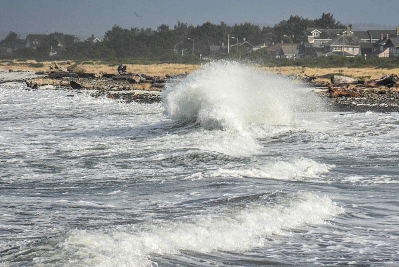
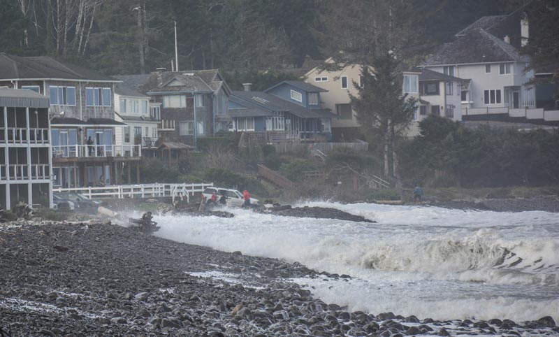
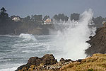
Above: Seaside and crazed wave action, courtesy Seaside Aquarium
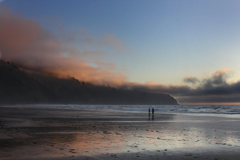
Cape Lookout, Oregon Coast Beach Connection
More About Oregon Coast hotels, lodging.....
More About Oregon Coast Restaurants, Dining.....
 Andre' GW Hagestedt is editor, owner and primary photographer / videographer of Oregon Coast Beach Connection, an online publication that sees over 1 million pageviews per month. He is also author of several books about the coast.
LATEST Related Oregon Coast Articles
At least two big dates whoop it up July 2026. Astoria events, history
Iran Conflict and Seasonal Aspects Behind Rise of Oregon, Washington Gas Prices
Crude prices jumped sharply worldwide following the start of war, pushing regional fuel costs higher. Traffic, travel tips
Run of Unusual Animal Deaths on Washington Coast: Whale Swims Up River, Skinn...
Grisly series of canine deaths, two whale strandings, another gray whale swims upriver then dies. Crime, marine sciences
Washington Coast Cleanup Scours Inner and Outer Coast, April 25
Volunteers are needed along the outer coast and throughout the Salish Sea. Washington coast events
March 30 is 132nd-Year Celebration at Oregon Coast's Beloved Heceta Head Ligh...
Food, live music and history, but no trip to the top. Florence events, Yachats events
4th of July at N. Oregon Coast's Sand Lake Now Requires Pre-Sales for Camping...
Congestion and overcrowding in recent years at Sand Lake Recreation Area near Pacific City. Traffic, travel tips
Invasive Quagga Mussels Found in Southern Oregon - Have Not Reached Coastline
Came from Arizona, inspections in full force. Ashland, Brookings
Numerous Traffic Accidents Near or on Oregon Coast in February, Some Fatal
Incidents around Bandon, Coast Range, Lincoln City, some criminal
Back to Oregon Coast
Contact Advertise on Oregon Coast Beach Connection
All Content, unless otherwise attributed, copyright Oregon Coast Beach Connection. Unauthorized use or publication is not permitted


