Odd, Rollercoaster Weather for Oregon Coast, Passes, Valley: Warm Day to Some Snow
Published 04/06/22 at 4:59 AM PST
By Oregon Coast Beach Connection staff
Includes exclusive listings; some specials in winter
In Cannon Beach:
Includes rentals not listed anywhere else
In Manzanita, Wheeler, Rockaway Beach:
Some specials for winter
In Pacific City, Oceanside:
Some specials for winter
In Lincoln City:
Some specials for winter
In Depoe Bay, Gleneden Beach:
Some specials for winter
In Newport:
Look for some specials
In Waldport
Some specials for winter
In Yachats, Florence
Some specials for winter
Southern Oregon Coast Hotels / Lodgings
Reedsport to Brookings, places to stay; winter deals
(Oregon Coast) – Quite a run of rollercoaster weather is in store for the Oregon coast and southern Washington and especially the western inland part of Oregon and south Washington, with temperatures soaring to the highest of the year in some places then plunging abruptly by 20 degrees or more. There's even the likelihood of some snow in the Oregon Coast Range over the weekend and some in the valley / southern Oregon regions.
The National Weather Service (NWS) is showing something like 75 degrees will be popping up Thursday in many places in the I-5 Corridor, such as Vancouver, Portland, Eugene, etc. On the Oregon coast, look for extremely pleasant, work-skipping weather at around the mid 60s, and maybe a little warmer on the southern Oregon coast.
By Friday, it will be like a switch has turned off, although the Oregon coast won't be as drastic a change as inland. Along the beaches, things get rainy and cloudy with temps in the 50s, but dropping to the upper 40s by Sunday. Inland will see overnight temps in the mid to low 30s.
See Oregon Coast Weather - Washington Coast Weather
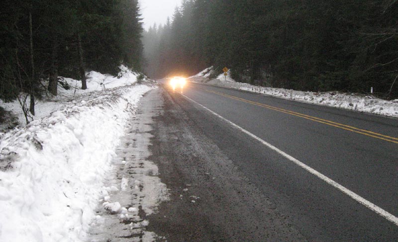
On the Oregon Coast Range passes, the snow level moves down to 1300 feet by Saturday, then lowers to 500 feet in a few areas, which will result in some snow in the upper elevations through Monday morning. Some of that will likely stick, which will mean caution should be exercised going to and from the coastline after Saturday night.
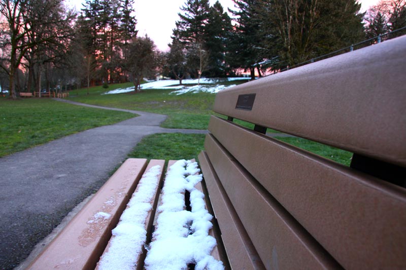
In the Portland Metro area and elsewhere, snow is likely to be seen flying around on Sunday – but not sticking. It all starts to turn on Friday.
“This will mark the beginning of a stretch of cool and showery weather,” the NWS said. “While temperatures should be fairly seasonable on Friday with highs close to 60 degrees across the interior lowlands and mid 50s along the coast, the airmass over the region will turn even colder this weekend into Monday as a large upper level trough deepens over the western continental US.”
Temps high in the atmosphere will get chillier, the NWS said, and thus things can get a bit dramatic closer to Earth.
“With temperatures aloft being so cold, showers will not have to grow very deep to produce small hail and possibly a few flashes of lightning in the afternoon,” the NWS said.
After Thursday's almost tropical day for the Oregon coast, it's the weekend in the inland portions of the state that's the real story, as the coastline won't get nearly as cold overnight. In fact, the south coast stays above 50 during the weekend days and only drops into the upper 40s at night, whereas as the northern half gets much colder overnight.
Even so, the NWS said you shouldn't expect a snow day if you live inland. It will be an odd sight this late in the year, however.
“Accumulating snow seems very unlikely given the time of year alone,” the NWS said. “The record latest date for measurable snow (0.1 inch or more) at Portland is March 25 (in 1965), and the record latest is April 11 for Eugene (set in 1911). So, even if some wet snowflakes do mix in with rain down to the valley floor, expect very little to no impacts.”
Oregon Coast Hotels in this area - South Coast Hotels - Where to eat - Maps - Virtual Tours
Cannon Beach Lodging
Nehalem Bay Lodgings
Manzanita Hotels, Lodging
Three Capes Lodging
Pacific City Hotels, Lodging
Lincoln City Lodging
Depoe Bay Lodging
Newport Lodging
Waldport Lodging
Yachats Lodging
Oregon Coast Vacation Rentals
Oregon Coast Lodging Specials
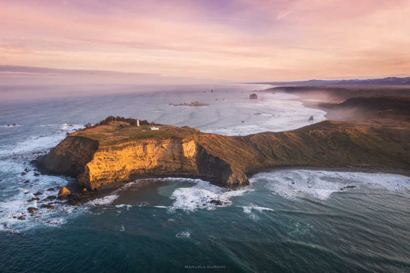
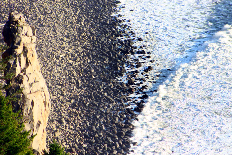
Cape Blanco courtesy Manuela Durson - see Manuela Durson Fine Arts for more
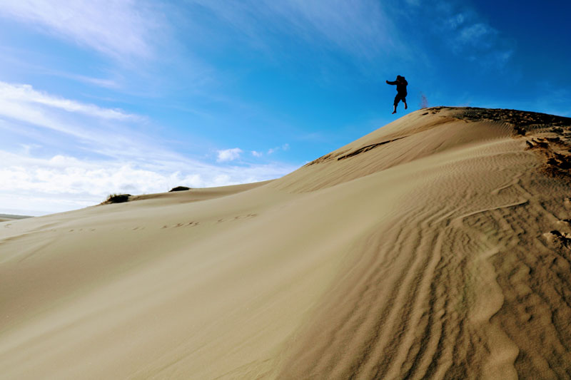
Courtesy Florence Visitors
More About Oregon Coast hotels, lodging.....
More About Oregon Coast Restaurants, Dining.....
LATEST Related Oregon Coast Articles
At least six incidents have happened there in recent years. Safety
Dusting of Snow for Much of NW Oregon Tonight a March Curiosity
Snow levels down to 500 ft tonight, with the Coast Range and Cascades seeing heavier impacts. Weather
Ecola State Park Officially Back Open Monday - N. Oregon Coast Landmark At Ca...
With no notice, but Cannon Beach Chamber confirms. Travel, traffic
Another Gray Whale Washes Up on Oregon Coast, at Seaside: Early Observations,...
The sixth in the NW in three weeks; early indications suggest it may have been undernourished. Marine sciences
When Oregon Coast Whales Spout Rainbows - Yes, It's a Thing
The one thing whales off Oregon and Washington have in common with unicorns. Marine sciences
Finalized Report on Euthanized Oregon Coast Whale in Nov: Many Diseases
The whale at Yachats in November had a multitude of chronic conditions which were killing it. Marine sciences
Another Dead Whale Stranding, This Time Near Yachats on Central Oregon Coast
Reports differ on whether it was alive at first; scientists are examining the carcass. Marine sciences
Florence Creates Giveaway of Two Nights at Central Oregon Coast, Gourmet Food...
Lakeside getaway, free food and more through Florence's contest. Florence events
Back to Oregon Coast
Contact Advertise on BeachConnection.net
All Content, unless otherwise attributed, copyright BeachConnection.net Unauthorized use or publication is not permitted


