Oregon Coast High Surf, High Winds Coming Monday, Tuesday
Published 11/25/2018 at 5:59 PM PDT
By Oregon Coast Beach Connection Staff
Includes exclusive listings; some specials in winter
In Cannon Beach:
Includes rentals not listed anywhere else
In Manzanita, Wheeler, Rockaway Beach:
Some specials for winter
In Pacific City, Oceanside:
Some specials for winter
In Lincoln City:
Some specials for winter
In Depoe Bay, Gleneden Beach:
Some specials for winter
In Newport:
Look for some specials
In Waldport
Some specials for winter
In Yachats, Florence
Some specials for winter
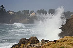
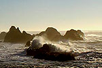
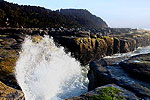
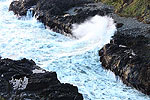
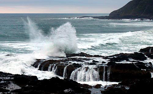
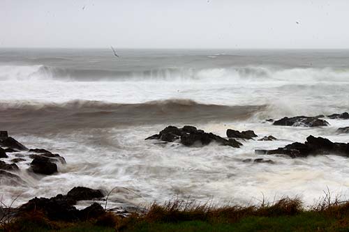
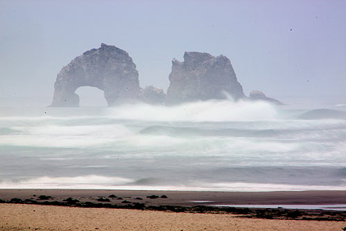
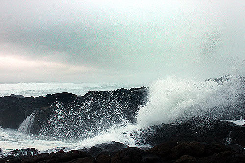
(Oregon Coast) - The upper half of the Oregon coast is under a high wind watch for Monday and Tuesday, while the entire coastline is under a high surf advisory, expecting waves as high as 25 feet.
The National Weather Service (NWS) offices in Portland and Medford issued the advisories today. The 180 miles of the upper half of the coast is under the high wind watch from Monday through Tuesday morning, with gusts of 55 mph to 60 mph possible on beaches and headlands, while inside the towns themselves winds will not be nearly as strong.
The NWS said winds are expected to hit their strongest late on Monday and early through the morning hours.
It all comes down to a cold front moving through the region.
“Winds will increase as the front approaches Monday afternoon and night and may reach high wind category mainly at the beaches and headlands along the South Washington Coast and N Oregon coast where we have issued a watch,” the NWS said.
On Tuesday night, there is the possibility of a thunderstorm on the Oregon coast. The rest of the week is laden with grey skies and lots of rain.
The whole of the Oregon coast is under a high surf advisory from 10 a.m. Monday to 10 a.m. Wednesday, which is likely to turn into a high surf warning from Brookings to Astoria.
“A combination of two wave sets will create conditions favorable for sneaker waves Monday,” the NWS said. “This will be followed by large, hazardous surf late Monday night. Breakers will increase to as high as 25 feet.”
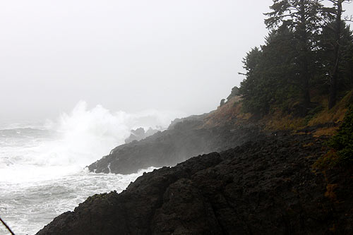
Sneaker wave threats begin in the morning on Monday, and hazardous surf will start impacting the all coastal areas from Monday night through to Wednesday morning. It’s a good idea to stay off all beaches at this time, but certainly smaller beaches where there are cliffs behind you and not a consistent set of dune bluffs with easy access to city streets. Places like Seaside, much of Cannon Beach or Newport’s Agate Beach will be safer. Smaller beaches or those with cliffs like those at most of Lincoln City, Gleneden Beach or Oceanside will be a bad idea.
“Seas will remain around 7 to 9 ft through tonight then steadily increase Monday and Monday night,” the NWS said on Sunday. “Expect seas to be into the low teens Monday morning, then peak Monday night in the upper teens to low 20s. Seas will remain elevated Tuesday as long period westerly swells behind this system continues to impact the waters. Then seas should gradually subside through the remainder of the week, but should be above 10 ft through at least midweek.” Oregon Coast Lodgings for this event - Where to eat - Maps - Virtual Tours
Cannon Beach Lodging
Nehalem Bay Lodgings
Manzanita Hotels, Lodging
Three Capes Lodging
Pacific City Hotels, Lodging
Lincoln City Lodging
Depoe Bay Lodging
Newport Lodging
Waldport Lodging
Yachats Lodging
Oregon Coast Vacation Rentals
Oregon Coast Lodging Specials
More About Oregon Coast hotels, lodging.....
More About Oregon Coast Restaurants, Dining.....
LATEST Related Oregon Coast Articles
Likely just before dawn best hour but peak happens during daylight. Weather
Dark Sky Week is Prime Along Oregon Coast: Where and Where Not to Go
General guide to dark sky viewing from south to north coast. Astronomy
Sizable Price Drop, Deals in Lincoln City During Quiet of April on Central Or...
20 perc off at A1 Vacation Rentals across its roster, including Gleneden Beach. Lincoln City specials
Upcoming S. Oregon Coast Events Include Gem Show, History: Coos Bay, Bandon
May 6 talk at Coos History Museum, Mayfly Fest May 17, Bandon Rock / Gem Show June 7,8
Washington Coast Cleanup on April 19 - Coinciding with Oregon Coast's SOLVE E...
From the Puget Sound to Long Beach, alongside Oregon's cleanup. Washington coast events, Seaside events
Astoria's Riverwalk Gets New Lighting, More N. Oregon Coast Roadwork
Delays coming this summer, but the riverwalk has a new look. Seaside, Cannn Beach
April Gets Even Cheaper Midweek at Depoe Bay, Lincoln City: Oregon Coast Deals
Off-season rates plus more at Keystone Vacation Rentals. Depoe Bay lodging specials, Lincoln City hotel reviews, Newport hotel reviews
Washington Coast Begins Week of Clam Digs, April 12 Through 18
Long Beach, Twin Harbors, Mocrocks and Copalis at different times. Washington coast events
Back to Oregon Coast
Contact Advertise on BeachConnection.net
All Content, unless otherwise attributed, copyright BeachConnection.net Unauthorized use or publication is not permitted


