Over 20-Ft Waves, Flooding Return This Week to Washington / Oregon Coast
Published 12/23/24 at 10:35 p.m.
By Oregon Coast Beach Connection Staff
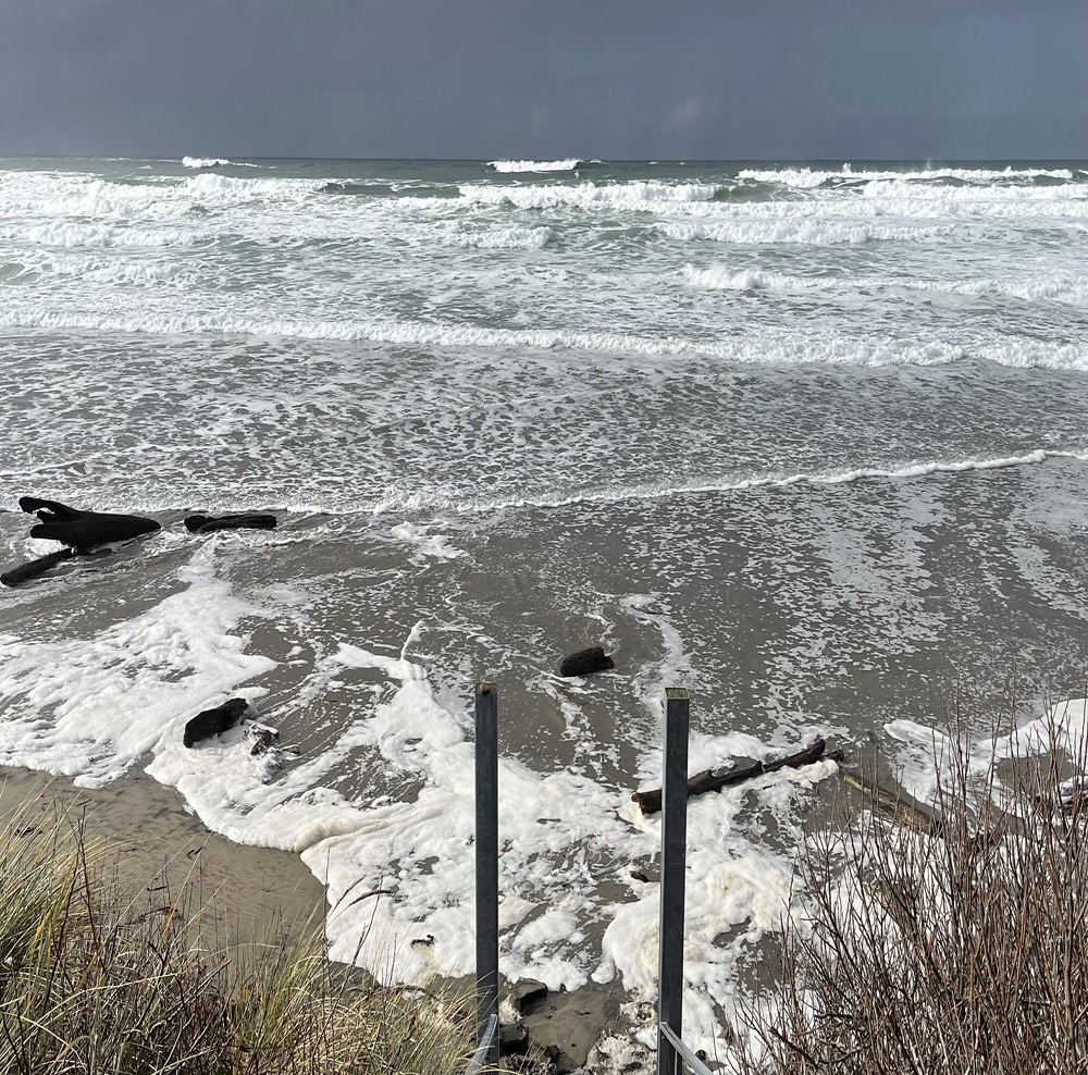
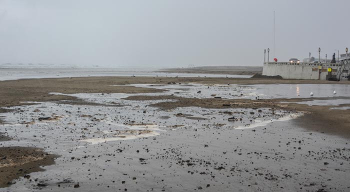
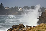
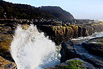
(Manzanita, Oregon) – Wet, wild 'n windy – as well as flooding - is what's in store for the Oregon coast and Washington coast this week and over the weekend. Some of the high surf warnings / advisories have been extended into Tuesday morning, but once that calms more of it wanders this way. Yet another set of storms kicks in offshore mid week and sends waves to over 20 feet once again, joined by some serious rain and the possibility for flooding on coastal rivers. (Photo Cannon Beach: Kerry Burg, Oregon King Tides Project)
Includes exclusive listings; some specials in winter
In Cannon Beach:
Includes rentals not listed anywhere else
In Manzanita, Wheeler, Rockaway Beach:
Some specials for winter
In Pacific City, Oceanside:
Some specials for winter
In Lincoln City:
Some specials for winter
In Depoe Bay, Gleneden Beach:
Some specials for winter
In Newport:
Look for some specials
In Waldport
Some specials for winter
In Yachats, Florence
Some specials for winter
Southern Oregon Coast Hotels / Lodgings
Reedsport to Brookings, places to stay; winter deals
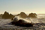
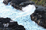
Waves have already reached monster categories Monday, with some spectacularly large breakers plummeting the south Oregon coast at Coos Bay's Shore Acres area, and at least one access in Lincoln City getting smothered. Surf warnings end late tonight but some advisories have been extended into Tuesday morning.
More is coming right around Christmas day.
The National Weather Service (NWS) in Portland and Medford have not issued warnings or advisories yet, but they have noted things are going to get crazy again – quick. They have, however, issued a hydrologic outlook that's going to spell a wet rather than white Christmas for most of the state. Long periods between swells are going to accentuate the rough conditions, and that coupled with what they call a “tidal anomaly” and really heavy rains will bring some floods from southern Washington down to the south Oregon coast.
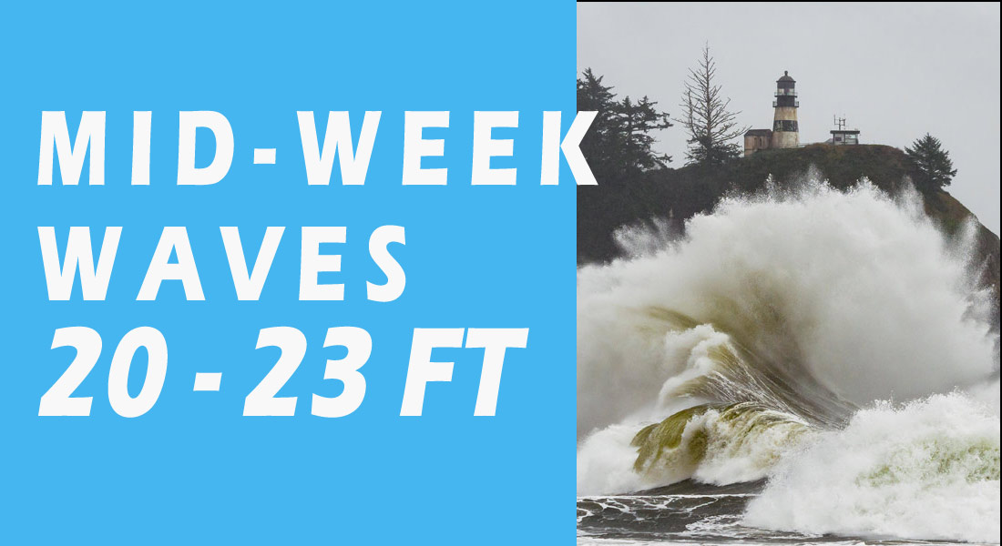
“Another system combined with a large, mid period swell is expected to impact the region mid-week,” the NWS said. “Swell of 20-25 feet combined with wind waves will produce combined seas in the 25-30 foot range at 14-16 seconds. Swell heights combined with the mid teen period could produce High Surf conditions. During the same timeframe, a tide of 9 feet and a tidal anomaly of 3 feet combined with potential High Surf could support Coastal Flooding.”
Waves as high as 23 feet are predicted for now (though slightly less on the south coast), but those could change closer to the event.
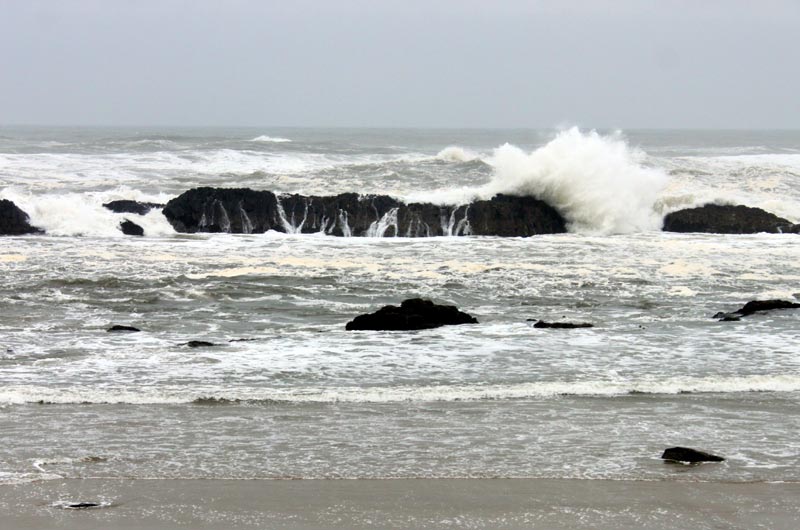
Seal Rock / Oregon Coast Beach Connection
All that rain is gunning for areas like Vancouver, WA., Portland, Salem, McMinnville, Bandon, Port Orford, Pacific City, Seaside, Westport and into the Olympic Peninsula.
See Oregon Coast Weather (including tides) - Inland Oregon Weather
“A series of systems will bring an extended period of wet weather across northwest Oregon and southwest Washington through the weekend,” the NWS said. “This will lead to rises on rivers and creeks, beginning Wednesday evening, Dec 25th through at least Sunday, December 29th. There is currently a 15-30% probability that rivers west of the Cascades reach minor flood stage over the next ten days.”
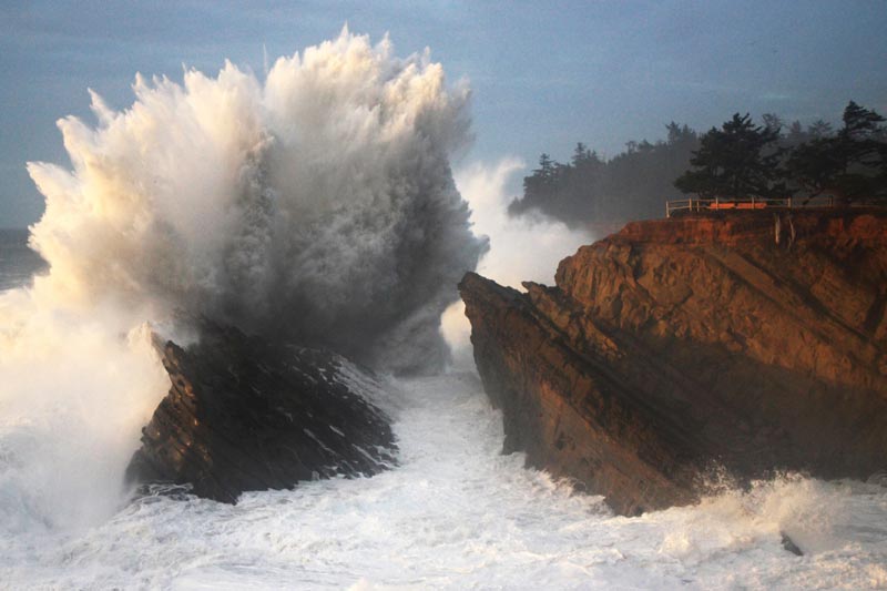
Shore Acres courtesy Oregon's Adventure Coast
Winds will be uncomfortably high on Wednesday (Christmas Day), with gusts up to 40 mph in some areas, though that should calm down soon after.
Places to check out this week for big wave action will be Yachats, jetties along the Oregon / Washington coast, Shore Acres and Cape Disappointment. Anything over 16 feet will likely yield some impressive shots, but you'll want to find days where the winds aren't too excessive.
Keep safety in mind: do NOT go on jetties and stay far from the surf action.
Oregon Coast Hotels for this event - South Coast Hotels - Oregon Coast Vacation Rentals - Where to eat - Maps - Virtual Tours
Oregon Coast Vacation Rentals
Oregon Coast Lodging Specials
More About Oregon Coast hotels, lodging.....
More About Oregon Coast Restaurants, Dining.....
 Andre' GW Hagestedt is editor, owner and primary photographer / videographer of Oregon Coast Beach Connection, an online publication that sees over 1 million pageviews per month. He is also author of several books about the coast.
LATEST Related Oregon Coast Articles
Upcoming S. Oregon Coast Events Include Gem Show, History: Coos Bay, BandonMay 6 talk at Coos History Museum, Mayfly Fest May 17, Bandon Rock / Gem Show June 7,8
Two Oregon Coast Gigs Bring Fiddle Virtuosos and a Local Composer to Newport
Milo Graamans on May 13 at a special benefit; Fiddle Express on May 16. Newport events
Sizable Price Drop, Deals in Lincoln City During Quiet of April on Central Or...
20 perc off at A1 Vacation Rentals across its roster, including Gleneden Beach. Lincoln City specials
Oregon Coast Roadwork, Traffic Delays Coming to Port Orford's Cape Blanco, As...
Blanco this week, Astoria-Megler Bridge, Humbug Creek in Coast Range. Seaside, Cannon Beach, Bandon
New Bus Routes to North Oregon Coast Begin in May
Running from Tillamook to Astoria, departing Beaverton, including wheelchair lifts. Rockaway Beach events, Tillamook events, Manzanita events, Cannon Beach events, Seaside events, Astoria events
Cape Kiwanda's Colossal Sand Dune: Wild Oregon Coast Rides and How It's Changing
A mix of crazy recreation with science of a crumbling landmark. Sciences, Pacific City, Oceanside
April Gets Even Cheaper Midweek at Depoe Bay, Lincoln City: Oregon Coast Deals
Off-season rates plus more at Keystone Vacation Rentals. Depoe Bay lodging specials, Lincoln City hotel reviews, Newport hotel reviews
BBQ, Blues 'n Brews Hits Coos Bay Area Again, a South Oregon Coast Highlight ...
May 24-25 at The Mill Casino - Hotel and RV Park in North Bend. Coos Bay events
Back to Oregon Coast
Contact Advertise on Oregon Coast Beach Connection
All Content, unless otherwise attributed, copyright © Oregon Coast Beach Connection. Unauthorized use or publication is not permitted


