NOAA Releases Fall Predictions: That It for Summer in Oregon, Washington, Coast?
Published 8/23/24 at 3:45 a.m.
By Andre' GW Hagestedt, Oregon Coast Beach Connection
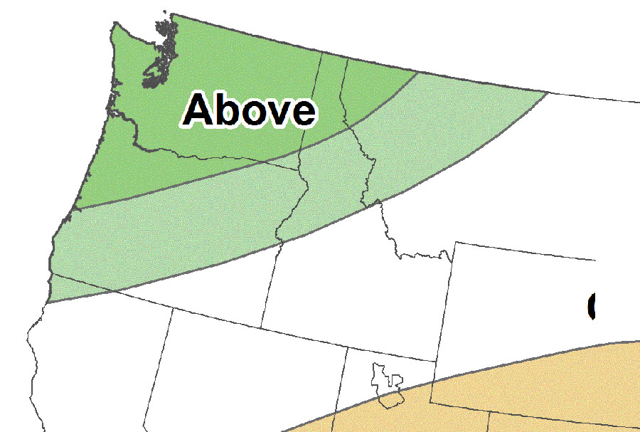
(Portland, Oregon) – Some parts of the Pacific Northwest may be looking at a shorter summer this year, while the eastern portions of Washington and Oregon are staring down warmer-than-usual conditions and perhaps some more dry conditions. The Oregon coast and Washington coast may not get the coveted “Second Summer” conditions during fall, either. (Graphic courtesy NOAA, showing predicted rain for September through November)
Includes exclusive listings; some specials in winter
In Cannon Beach:
Includes rentals not listed anywhere else
In Manzanita, Wheeler, Rockaway Beach:
Some specials for winter
In Pacific City, Oceanside:
Some specials for winter
In Lincoln City:
Some specials for winter
In Depoe Bay, Gleneden Beach:
Some specials for winter
In Newport:
Look for some specials
In Waldport
Some specials for winter
In Yachats, Florence
Some specials for winter
Southern Oregon Coast Hotels / Lodgings
Reedsport to Brookings, places to stay; winter deals
The Climate Prediction Center of National Oceanic and Atmospheric Administration (NOAA) just released its fall forecast for 2024 and the majority of it calls for warmer temperatures around the country, with the western halves of Oregon and Washington some of the exceptions. While NOAA chimed in with wetter-than-usual conditions from September through November, it was more or less 50/50 on if this region would be warmer or cooler.
Either way, La Niña is going to be in effect from September through November, according to NOAA's Climate Predictions Center (CPC). That could go longer.
“CPC forecasters expect the Pacific Northwest will most likely be warmer than typical only in eastern Oregon and extreme southeast Washington,” NOAA said. “Wetter-than-typical is most likely for western Washington and northwest Oregon during the same period.”
This week will see a return of 80-degree weather to inland Oregon and Washington, but some regional forecasters are saying it's entirely possible this is it for the big summer weather, given NOAA's long-range prediction.
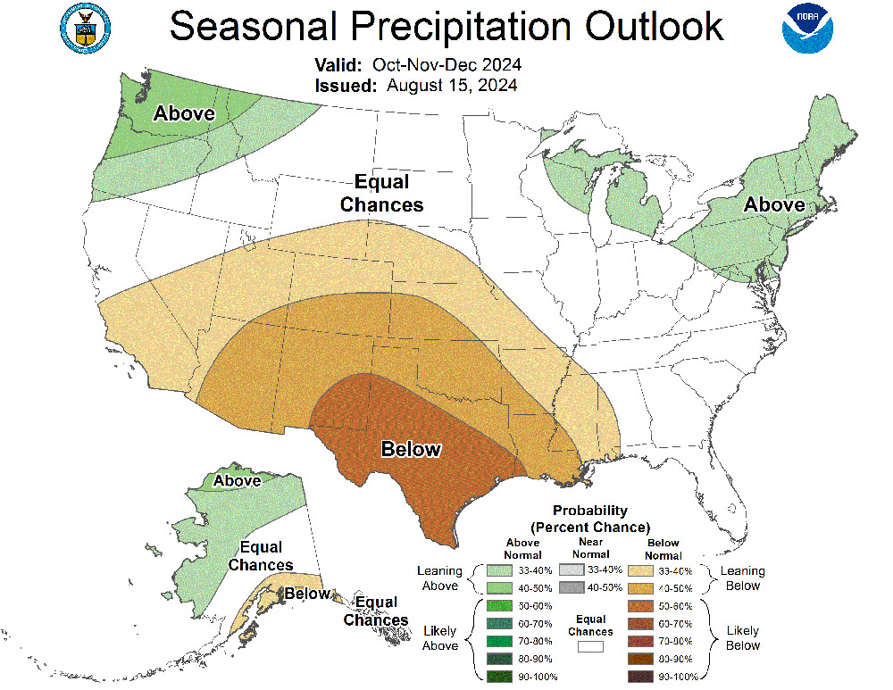
Most years – but not every year – September and October bring the best of weather to the coastal regions of Washington and Oregon, what's called Second Summer by many. This year looks to have less of a chance of that for areas like Westport, Cannon Beach, Bandon, Newport or Manzanita. The extreme southern part of the state's coast – from Port Orford southward – may still get its Chetco effect, thanks to the California region looking at a slightly bigger chance of warmer-than-usual temps.
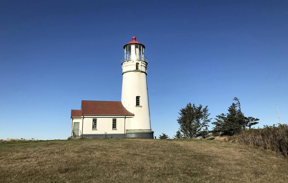
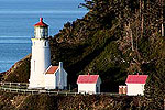
Cape Blanco Lighthouse
For September, NOAA thinks the Oregon coast and Washington coast are going to be rainier than many years, however.
See Washington Coast Weather - Oregon Coast Weather
“Above-normal precipitation is favored for a small coastal area of the Pacific Northwest, consistent with the CFSv2 forecast and possible early impacts of La Niña,” NOAA said.
For La Niña events, NOAA said upwelling increases on the Pacific coast of the Americas, which brings cold, nutrient-rich water to the surface. These then push the jet stream forward, and it tends to bring drought to the southern U.S. and heavier rains in the Pacific Northwest.
“La Niña is favored to develop during September-October-November (66% chance) and persist through the winter 2024-2025 (near 70% chance),” NOAA said.
A winter and fall full of upwelling often brings more interesting things onshore to the Oregon coast, however. You may end up with more creatures on the beaches, and the possibilities of glowing phytoplankton increase a bit.
Oregon Coast Hotels in this area - South Coast Hotels - Oregon Coast Vacation Rentals - Where to eat - Maps - Virtual Tours
Cannon Beach Lodging
Nehalem Bay Lodgings
Manzanita Hotels, Lodging
Three Capes Lodging
Pacific City Hotels, Lodging
Lincoln City Lodging
Depoe Bay Lodging
Newport Lodging
Waldport Lodging
Yachats Lodging
Oregon Coast Vacation Rentals
Oregon Coast Lodging Specials
More About Oregon Coast hotels, lodging.....
More About Oregon Coast Restaurants, Dining.....
 Andre' GW Hagestedt is editor, owner and primary photographer / videographer of Oregon Coast Beach Connection, an online publication that sees over 1 million pageviews per month. He is also author of several books about the coast.
LATEST Related Oregon Coast Articles
Destructive, Invasive Crab Found on N. Oregon Coast, Officials Ask Public's HelpChinese mitten crab was found near Astoria. Marine sciences
Cape Kiwanda's Colossal Sand Dune: Wild Oregon Coast Rides and How It's Changing
A mix of crazy recreation with science of a crumbling landmark. Sciences, Pacific City, Oceanside
Plane Skids Off Runway on S. Oregon Coast, Into Coos Bay Waters
All five were rescued and are okay
Folk With An Energetic French Accent: Bon Debarras Comes to Central Oregon Co...
Lincoln City Cultural Center on Thursday, April 10. Lincoln City events
Washington Coast Cleanup on April 19 - Coinciding with Oregon Coast's SOLVE E...
From the Puget Sound to Long Beach, alongside Oregon's cleanup. Washington coast events, Seaside events
Oregon Coast, Valley and Likely Washington Coast to Get Some Aurora Borealis ...
Likely just before dawn best hour but peak happens during daylight. Weather
Catching Another Side of Astoria: Ethereal Oregon Coast Scenery at Night
A photo essay: surreal city and maybe some Star Trek
Oregon Astronomer: Why Easter Moves Around, April's Meteor Showers
Lyrid meteors, smallest moon of the year, and what's up with Easter. Sciences. south coast events, Florence events, Astoria events, Seaside events, Cannon Beach events, Manzanita events, Rockaway Beach events, Tillamook events, Garibaldi events, Oceanside events, Pacific City events, Lincoln City events, Depoe Bay events, Newport events, Waldport events, Newport events, Yachats events
Back to Oregon Coast
Contact Advertise on Oregon Coast Beach Connection
All Content, unless otherwise attributed, copyright © Oregon Coast Beach Connection. Unauthorized use or publication is not permitted


