Slow Thaw for Portland, Valley - Various Advisories, Forecasts for Oregon Coast Range, Beaches
Published 02/26/23 at 5:52 AM
By Oregon Coast Beach Connection staff
Includes exclusive listings; some specials in winter
In Cannon Beach:
Includes rentals not listed anywhere else
In Manzanita, Wheeler, Rockaway Beach:
Some specials for winter
In Pacific City, Oceanside:
Some specials for winter
In Lincoln City:
Some specials for winter
In Depoe Bay, Gleneden Beach:
Some specials for winter
In Newport:
Look for some specials
In Waldport
Some specials for winter
In Yachats, Florence
Some specials for winter
Southern Oregon Coast Hotels / Lodgings
Reedsport to Brookings, places to stay; winter deals
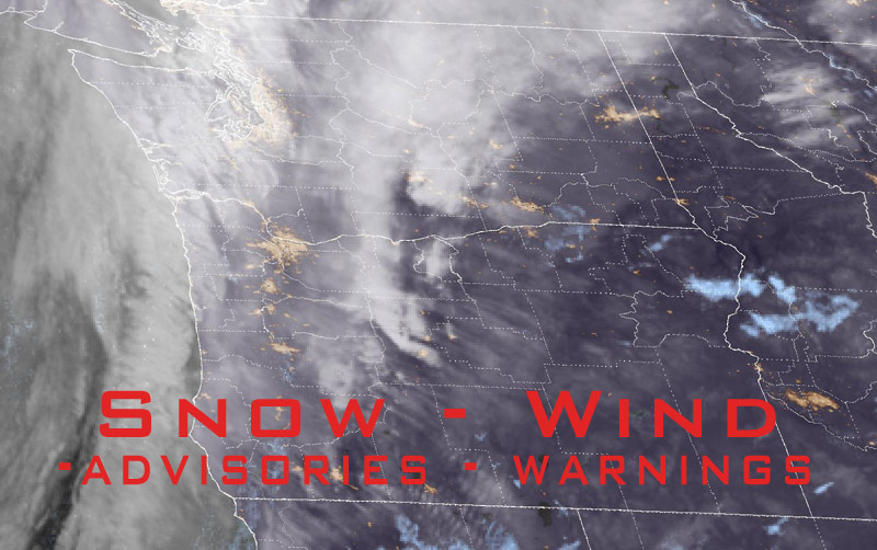
(Portland, Oregon) – When is the big thaw coming to inland Oregon and Washington? Very slowly over the next few days, is the answer, especially for areas like Portland, Vancouver or Salem. It's all taking a bit longer than anticipated by the National Weather Service (NWS) and other forecasters, with some amounts of snow coming down through at least Wednesday. The Oregon coastline and southern Washington coast should remian clear, with snow generally staying above 500 to 1,000 feet. (Above: photo National Weather Service satellite, taken at midnight Feb. 26)
However, there are some wild card variables.
The general forecast for the Portland area is nighttime temps to mostly stay above freezing, and even approach the 50s during the day. A lot will fall in the form of rain and snow. This keeps whatever snow hits the streets from sticking or freezing in many cases, but it's going to be beyond Wednesday when this really changes.
However, the NWS is showing some wide-range variables, saying models aren't certain about amounts of snow in many areas as patterns could result in large amounts of the white stuff even in low elevations.
Washington Coast Weather - Oregon Coast Weather
Oregon Coast Road, Traffic Conditions, Updates
“Overall, the pattern Sunday night through early Wednesday appears conducive to someone, somewhere getting heavy snow in the lowlands across SW Washington and NW Oregon,” the NWS said.
A lot of what will be happening is big temperature differences between smaller areas – a kind of microclimate action. The NWS said current guidance is “strongly signaling” such variables in lows could be found along the Oregon coast and Willamette Valley.
“The bigger question appears to be how far precipitation will spread inland - in other words, the Oregon Coast may have the best chance for lowland snow as these disturbances move onshore from the southwest.”
A variety of winter weather warnings and advisories are currently in effect from southwest Washington, the Coast Range down through southern Oregon. Most expire early Sunday, but the winter storm warning for the southern Oregon coast, with 8 to 15 inches of snow above 1500 feet, lasts until Tuesday.
“If you must travel, keep tire chains, a flashlight, blankets, food, water, medications, and a fully charged phone with you,” the NWS said.
For southern Oregon coast's Curry County, there is a high wind warning until 7 a.m. Monday. The NWS said south winds up to 50 mph and gusts up to 65 mph are likely for Port Orford down to Gold Beach.
Snow Forecasts
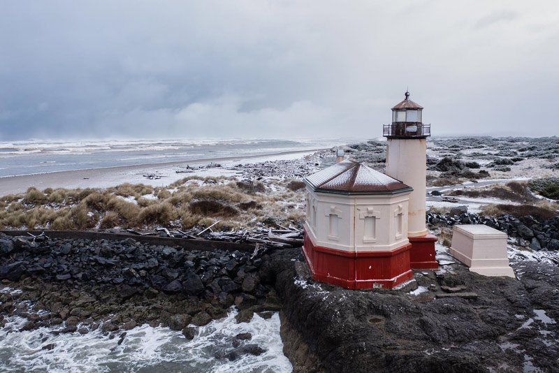
Bandon - Manuela Durson (see Manuela Durson Fine Arts for more)
These could wind up varying wildly, as per the NWS statements above, but so far their predictions:
For the Portland Metro area and much of the Willamette Valley and surrounding lowlands, Sunday sees rain and snow on Sunday, mostly higher elevations, and accumulations less than an inch. Monday sees a rain and snow mix in the morning turning to rain later in the day.
Tuesday will bring snow early in the day and rain later, but snow levels drop to 500 feet. Wednesday sees a chance of rain or snow, but not much, according to the NWS.
Oregon Coast Sky Cams - Web Cams, Weather Cams
The Oregon Coast Range could remain problematic for a good week, with high temps in the 30s, lows in the 20s, and varying amounts of snow each day predicted through next weekend.
Oregon Coast Hotels in this area - South Coast Hotels - Where to eat - Maps - Virtual Tours
Cannon Beach Lodging
Nehalem Bay Lodgings
Manzanita Hotels, Lodging
Three Capes Lodging
Pacific City Hotels, Lodging
Lincoln City Lodging
Depoe Bay Lodging
Newport Lodging
Waldport Lodging
Yachats Lodging
Oregon Coast Vacation Rentals
Oregon Coast Lodging Specials
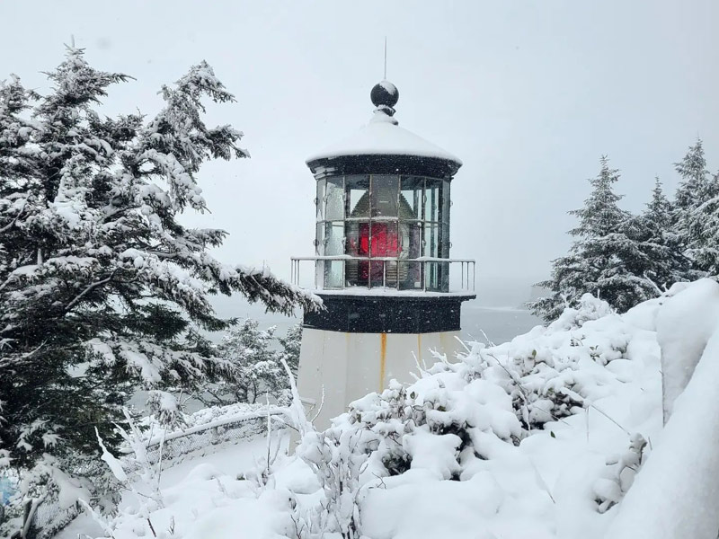
Photo Friends of Netarts Bay Watershed, Estuary, Beach, and Sea – WEBS.
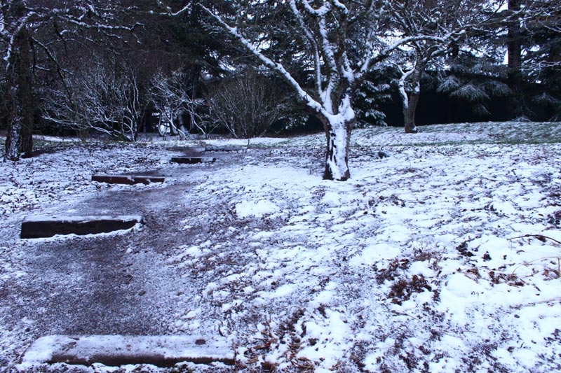
Portland: photo Oregon Coast Beach Connection
More About Oregon Coast hotels, lodging.....
More About Oregon Coast Restaurants, Dining.....
 Andre' GW Hagestedt is editor, owner and primary photographer / videographer of Oregon Coast Beach Connection, an online publication that sees over 1 million pageviews per month. He is also author of several books about the coast.
LATEST Related Oregon Coast Articles
2026 Festival of Illusions, March 22-27. Pacific City events, Lincoln City events, Depoe Bay events, Newport events
Capping Either End of Cannon Beach: Two Different Charmers of the N. Oregon C...
Like a pair of bookends, two of its more engaging places to stay cap either end. Cannon Beach hotel reviews, Schooner's Cove Inn, the Wayside Inn, Seaside hotel reviews
Salem Man Arrested on Central Oregon Coast's Lincoln City for Allegedly Menac...
He was also charged with possession of drugs. Crime
Adorable Chicks Being Born on Oregon Coast Means Some Beach Restrictions
On a handful of beaches, mostly on the south coast. Marine sciences
Dusting of Snow for Much of NW Oregon Tonight a March Curiosity
Snow levels down to 500 ft tonight, with the Coast Range and Cascades seeing heavier impacts. Weather
Invasive Quagga Mussels Found in Southern Oregon - Have Not Reached Coastline
Came from Arizona, inspections in full force. Ashland, Brookings
One Teen (and Nearly Four) Needed Rescue from Oregon Coast Cliff - Lincoln City
At least six incidents have happened there in recent years. Safety
South Oregon Coast's Gold Beach Drops 1500 Floats Starting April 1, Going to ...
The tradition is nearly 20 years old. Gold Beach events
Back to Oregon Coast
Contact Advertise on Oregon Coast Beach Connection
All Content, unless otherwise attributed, copyright Oregon Coast Beach Connection. Unauthorized use or publication is not permitted


