Small Travel Impact from Snow in Oregon Coast Range Over Weekend - Portland Gets Chillier
Published 02/07/25 at 5:39 a.m.
By Oregon Coast Beach Connection Staff
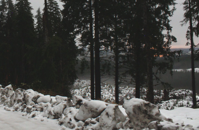
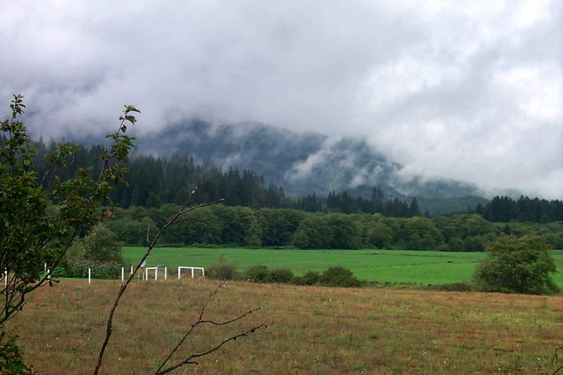
(Portland, Oregon) – Expect more snow for the Oregon Coast Range in the coming weekend, but possibly some dustings later in the week making for some travel impact. Meanwhile, Portland, the Willamette Valley and surrounding regions will still get bits of the white stuff at higher elevations, then turning to a drier and colder week. (Hwy 26 - Oregon Coast Beach Connection)
Includes exclusive listings; some specials in winter
In Cannon Beach:
Includes rentals not listed anywhere else
In Manzanita, Wheeler, Rockaway Beach:
Some specials for winter
In Pacific City, Oceanside:
Some specials for winter
In Lincoln City:
Some specials for winter
In Depoe Bay, Gleneden Beach:
Some specials for winter
In Newport:
Look for some specials
In Waldport
Some specials for winter
In Yachats, Florence
Some specials for winter
Southern Oregon Coast Hotels / Lodgings
Reedsport to Brookings, places to stay; winter deals
The National Weather Service (NWS) said there's some sunny days ahead for the coastline, Coast Range and the valley, but that will only make things colder, given that a lack of clouds lets all the heat flow upwards. However, you'll still need to take caution over the weekend.
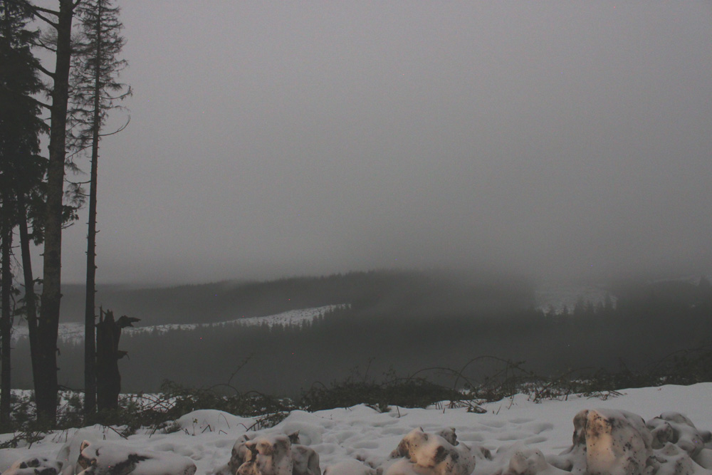
“Skies will become cloudier Friday night into Saturday with showers increasing from west to east as a weak surface low moves inland,” the NWS said. “This low will bring accumulating snow in the Coast Range and Cascades, however forecast snow amounts are not high enough to justify the issuance of a winter weather advisory. Nevertheless, there will be minor travel impacts over the coastal mountains with 1-2 inches along portions of highway 26 and a dusting to one inch along the highest portions of highway 22.”
- Washington Coast Weather - Oregon Coast Weather - Inland Oregon Weather
On the Oregon coast and south Washington coast look for rain, but that precipitation will create a rain / snow mix in the valley and I-5 corridor, including Portland/Vancouver metro, lower Columbia and Cowlitz Valley.
Saturday still sees some rain and snow in elevations above 1200 feet but the snow levels soon rocket upwards, leaving the mountains with mere droplets. Sunday there's more chances of rain, while the midweek stays generally chilly but dry or just above freezing.
“Any snow that does fall below 500 feet will most likely melt upon contact with the ground due to southerly winds and slightly above freezing surface temps,” the NWS said. A very light dusting on elevated surfaces and grassy surfaces will be possible at best, and no travel impacts are expected for elevations below 500 feet.”
The NWS said it's possible there will be up to half an inch in areas like Portland's West Hils or Chehalem mountains, as well as Salem's Eola Hills.
“Overall, another day with flakes in the air down to the valley floor, but no accumulation to worry about,” the NWS said.
Along the coastline, sunny days midweek are a bit balmy compared to the valley: clocking in at near 50 degrees in many areas like Seaside, Lincoln City or Coos Bay.
As the week rolls on, the metro area gets chillier. East winds from the Gorge will take over and drive temps down through Thursday.
“The long term forecast is highlighted by high confidence for abnormally cold temperatures and low confidence for potential snow, sleet and/or freezing rain down to the valley floor,” the NWS said.
Oregon Coast Hotels in this area - South Coast Hotels - Oregon Coast Vacation Rentals - Where to eat - Maps - Virtual Tours


Oregon Coast Vacation Rentals
Oregon Coast Lodging Specials

More About Oregon Coast hotels, lodging.....
More About Oregon Coast Restaurants, Dining.....


 Andre' GW Hagestedt is editor, owner and primary photographer / videographer of Oregon Coast Beach Connection, an online publication that sees over 1 million pageviews per month. He is also author of several books about the coast.
LATEST Related Oregon Coast Articles
Razor Clamming Now Back for Majority of Oregon CoastThere had been a closure from Cascade Head to the California border. Marine sciences
Summer Road Work, Traffic Issues Along Oregon Coast Include Astoria, Garibald...
Some daylight closures include bridges, OR 22, OR 18, OR 26, more. Travel tips. Seaside, Cannon Beach, Lincoln City. Travel tips
Newport's First Kittypalooza Takes Over Central Oregon Coast on June 26
Kittypalooza, a feline-themed event celebrating Adopt-a-Cat Month. Newport events
Aurora Borealis Tonight: Timing, Display Strength for Oregon, Washington, Coa...
Through 2 a.m. likely best, but some lights possible through dawn June 1 - 2. Space weather, astronomy
N. Oregon Coast Bridge Work During Travel Season: Some Traffic Delays on Asto...
Occasional one-lane traffic from June through September at Astoria / Ilwaco. Washington coast
Oregon Coast, Valley and Likely Washington Coast to Get Some Aurora Borealis ...
Likely just before dawn best hour but peak happens during daylight. Weather
Plane Skids Off Runway on S. Oregon Coast, Into Coos Bay Waters
All five were rescued and are okay
Lincoln City First on Oregon Coast to Ditch 4th of July Fireworks for Drone S...
A massive, dazzling drone show is in store for Independence Day. Lincoln City events
Back to Oregon Coast
Contact Advertise on Oregon Coast Beach Connection
All Content, unless otherwise attributed, copyright © Oregon Coast Beach Connection. Unauthorized use or publication is not permitted

Oregon
Coast Hotels
S. Coast Hotels
Astoria/Warrenton Hotels
Seaside Hotels
Cannon
Beach Hotels
Nehalem Bay Lodgings
Manzanita Hotels, Lodging
Rockaway Beach Hotels
Three Capes Lodging
Pacific City Hotels, Lodging
Lincoln
City Lodging
Depoe
Bay Hotels
Newport Hotels
Waldport Lodging
Yachats
Hotels
Florence Hotels
Reedsport Hotels
Coos Bay Hotels
Bandon Hotels
Port Orford Hotels
Gold Beach Hotels
Brookings Hotels
Oregon
Coast Vacation Rentals
Oregon
Coast Lodging Specials
South Coast Hotels
Dining
Guide
Seaside
Cannon
Beach Dining
Manzanita,
Rockaway, Wheeler Dining
Pacific
City, Oceanside, Netarts, Tierra Del Mar Restaurants
Tillamook
Bay Restaurants, Dining
Lincoln
City Dining, Restaurants
Depoe
Bay Restaurants, Dining
Newport Restaurants, Dining
Waldport,
Yachats Restaurants, Dining
Florence Restaurants, Dining
Restaurant
Reviews
Coast
Events Calendar
Astoria
Seaside,
Cannon Beach Calendar
Manzanita,
Rockaway Events
Tillamook,
Pacific City Calendar
Lincoln
City Events Calendar
Newport,
Depoe Bay Events Calendar
Yachats Events Calendar
Oregon Coast Complete Guides every beach access, attraction
Search for Oregon Coast Subjects, Articles
Explore Every Beach Spot


News Headlines from All Over Oregon Need to scan Oregon headlines? Constantly updated news from all over Oregon: a comprehensive, up-to-the-minute display of news headlines from a variety of media
Oregon Coast Oceanfront Lodging, Hotels, Rentals