Increased Sneaker Wave Threat Along Oregon Coast, Washington Coast Today Through Weekend
Published 2/08/24 at 6:45 p.m.
By Oregon Coast Beach Connection staff
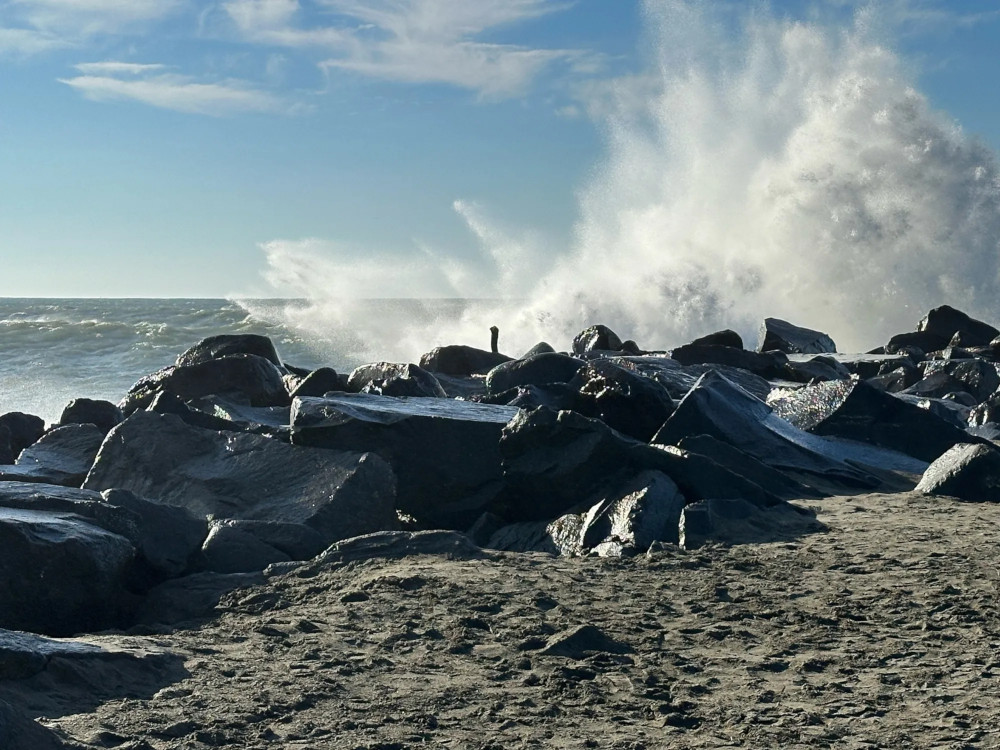
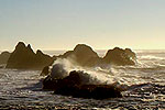
(Oregon Coast) – The south Washington coast and upper half of Oregon's coast are the subject of a warning about sneaker waves. From today (Thursday) through the weekend, the National Weather Service (NWS) says that there is a greater risk of sneaker waves happening along the beaches. (Above: Ocean Shores, Washington coast, courtesy Washington King Tides Project / Cherie Fisher)
Includes exclusive listings; some specials in winter
In Cannon Beach:
Includes rentals not listed anywhere else
In Manzanita, Wheeler, Rockaway Beach:
Some specials for winter
In Pacific City, Oceanside:
Some specials for winter
In Lincoln City:
Some specials for winter
In Depoe Bay, Gleneden Beach:
Some specials for winter
In Newport:
Look for some specials
In Waldport
Some specials for winter
In Yachats, Florence
Some specials for winter
Southern Oregon Coast Hotels / Lodgings
Reedsport to Brookings, places to stay; winter deals
This all aligns with the current king tides happening today through Saturday, but that isn't necessarily what's causing or even contributing to it. As the NWS explained to Oregon Coast Beach Connection Wednesday, this set of high tide events are a little too distant from the winter solstice to actually be perigean tides (aka king tides). [Last of Oregon Coast King Tides (Sort of) Tomorrow Through Saturday]
There are some fairly long periods between wave swells offshore, however, and that's why the two coastlines have a greater threat.
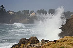
“A strong westerly swell will facilitate a high threat of sneaker waves across our coastal beaches today through this weekend,” the NWS said. “Beachgoers are encouraged to remain aware of their surroundings. Never turn your back on the ocean.”
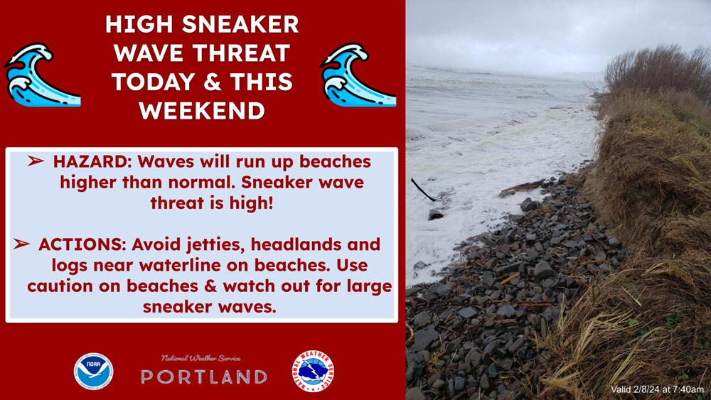
The NWS has not issued a formal advisory or threat, but it has issued a couple of informal statements on its website. Neither the northern Washington coast nor the south Oregon coast have issued any message about sneaker wave threats. Especially in southern Oregon beaches, predicted wave height and period swells are much less for areas such as Port Orford, Coos Bay or Brookings.
Seas offshore are a big part of this as well, clocking in at 10 to 12 feet high for the areas that include Seaside, Long Beach, Westport, Cannon Beach, Manzanita, Pacific City, Newport or Florence. That starts to diminish a bit and by Sunday conditions appear to be less impactful, according to NWS predictions.
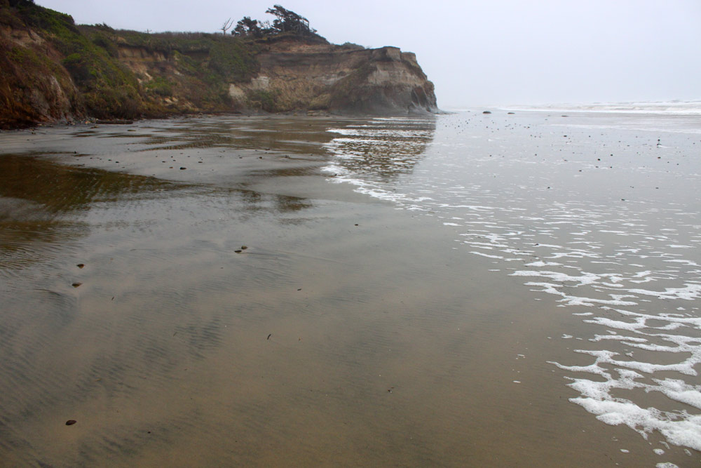
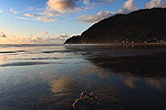
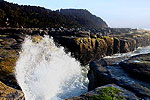
Holiday Beach near Newport / Oregon Coast Beach Connection
“A westerly long period swell is resulting in waves around 10-12 feet at 15-17 seconds,” the NWS said. “Given the conditions, there is an an enhanced sneaker wave threat through at least Thursday afternoon along area beaches. Beachgoers should maintain heightened awareness for waves running farther up onto the beach
than anticipated. Avoid rocks and jetties and never turn your back on the ocean.”
That period of 15 to 17 seconds is the big indicator of sneaker waves. The longer the period between swells, the more a set of breakers can combine into a larger wave and then charge up the beach without warning.
For the south Oregon coast, swells offshore are around 6 feet at 13 seconds, with wind waves around one foot. Those rise to more like 9 feet on Saturday before backing off on Sunday.
Surf conditions remain calm the rest of the week.
Oregon Coast Hotels for this event - South Coast Hotels - Where to eat - Maps - Virtual Tours
Cannon Beach Lodging
Nehalem Bay Lodgings
Manzanita Hotels, Lodging
Three Capes Lodging
Pacific City Hotels, Lodging
Lincoln City Lodging
Depoe Bay Lodging
Newport Lodging
Waldport Lodging
Yachats Lodging
Oregon Coast Vacation Rentals
Oregon Coast Lodging Specials
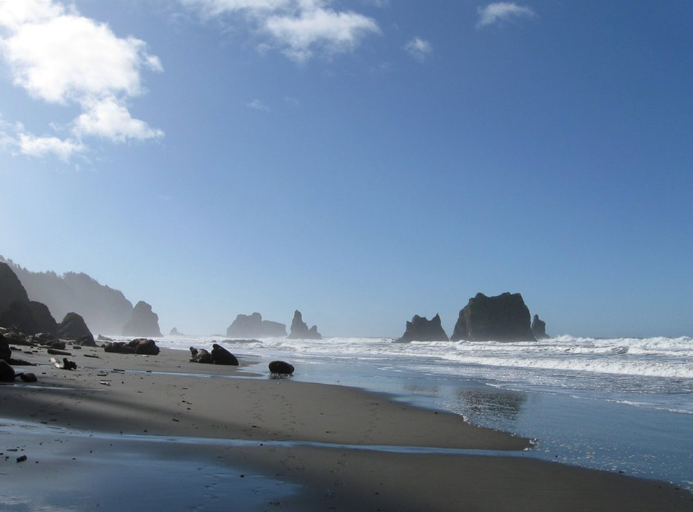
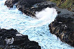
China Beach near Brookings / King Tides - Pete Chesar
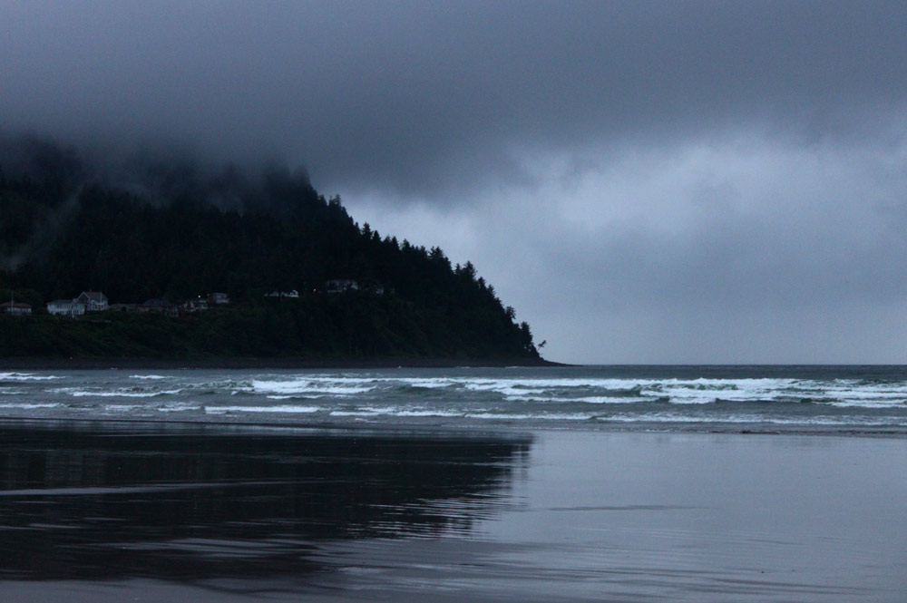
More About Oregon Coast hotels, lodging.....
More About Oregon Coast Restaurants, Dining.....
 Andre' GW Hagestedt is editor, owner and primary photographer / videographer of Oregon Coast Beach Connection, an online publication that sees over 1 million pageviews per month. He is also author of several books about the coast.
LATEST Related Oregon Coast Articles
Turning Oregon's Greens Into Christmas Gold: Only Days Left in Ornament HuntThroughout Willamette National Forest from Cascades towards Salem and Eugene. Detroit, Sweet Home, Albany, Events
Final Third of Oregon Coast Given Okay to Start Commercial Crabbing
Majority of the coast began crabbing last week. Marine sciences
Saddle Mountain Rescue Needed USCG Helicopter, Several N. Oregon Coast Agencies
A complex 6.5 hours to rescue a stranded hiker. Safety, Seaside, Cannon Beach, Astoria, Manzanita, Saddle Mountain
Central Oregon Coast's Production of 'It's a Wonderful Life' Gives It a Uniqu...
December 12 at 7 pm, and Saturday, December 13 at 2 pm and 7 pm. Lincoln City events
Stranded and Struggling Humpback Whale on Central Oregon Coast Draws Crowds O...
Experts warn stay away from the Yachats site. Dozens try to help but endanger themselves. Marine sciences
Central Oregon Coast Silent Disco - and Newport Seafood Wine Fest 2026 Preview
Silent Disco at NPAC on January 10; Seafood Wine Fest runs February 19?22. Newport events
Some Thanksgiving and Holiday Weekend Vacation Rentals Still Open on Oregon C...
A handful of vacation rentals and one restaurant's feast: Newport hotel reviews, Lincoln City hotel reviews, Pacific City hotel reviews, Neskowin hotel reviews, Washington coast, specials
Central Oregon Coast's Glass Float Drops Mellow a Bit: Special Drop Dates Few...
Bringing the Lincoln City events back to their roots
Back to Oregon Coast
Contact Advertise on Oregon Coast Beach Connection
All Content, unless otherwise attributed, copyright Oregon Coast Beach Connection. Unauthorized use or publication is not permitted


