High Wind Warning S. Coast; Snow in Oregon Coast Range, S. Washington Coast, Valley Floor
Published 04/10/22 at 6:22 PM PST
By Oregon Coast Beach Connection staff
Includes exclusive listings; some specials in winter
In Cannon Beach:
Includes rentals not listed anywhere else
In Manzanita, Wheeler, Rockaway Beach:
Some specials for winter
In Pacific City, Oceanside:
Some specials for winter
In Lincoln City:
Some specials for winter
In Depoe Bay, Gleneden Beach:
Some specials for winter
In Newport:
Look for some specials
In Waldport
Some specials for winter
In Yachats, Florence
Some specials for winter
Southern Oregon Coast Hotels / Lodgings
Reedsport to Brookings, places to stay; winter deals
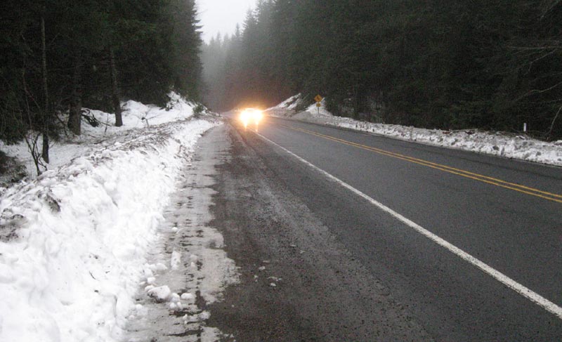
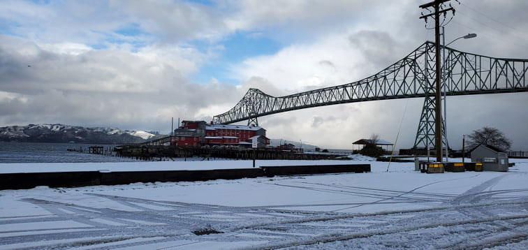
(Oregon Coast) – Those in the western parts of Oregon and Washington will likely get a snowy morning commute, and driving over the coast range passes may not be possible. (Above: snow in Astoria, courtesy Angi D. Wildt Gallery)
It is one unusual and potentially record-breaking run of weather in Oregon and Washington, as well as the Washington coast and Oregon coast. Snow is quite possibly coming to the valley floor overnight, which is something many weather forecasters say has never happened in Portland this late in the season.
This bizarre spring storm is also bringing a high wind warning to the southern Oregon coast, a foot or two of snow in the Willapa Hills and Oregon Coast Range, and even some slightly hazardous driving conditions to the south Washington coast and north Oregon coast.
The National Weather Service (NWS) offices in Seattle, Portland and Medford are being kept busy with a variety of warnings and hazard statements.
There a mix of snow and rain coming to beach towns like Manzanita, Seaside, Long Beach and Westport, and sticking snow on the floor of the Willamette Valley and Columbia Gorge – all coming Monday morning. Winter weather advisories are going up for the Willapa Hills and Oregon Coast Range through Monday afternoon, with snow accumulating over one foot. Down on the southern Oregon coast, there is a high wind warning up through Monday, with gusts up to 75 mph possible.
See Oregon Coast Weather - Washington Coast Weather
See Oregon Coast Traffic / Road Conditions
“An energetic low will move onshore overnight bringing heavy rain and snow across the area. Snow will remain in the high terrain for the majority of the event, however, heavy rain and lowering snow levels will pose an issue for lowland areas.”
North Oregon Coast / South Washington Coast Snow. No real accumulation is expected on coastlines or places like Manzanita, Cannon Beach, Astoria or Seaview, but there will be a mix of rain and snow starting overnight. In valley areas like Portland and the Gorge, snow on the valley floor is possible and thus so are commuting problems.
“Heaviest time of precipitation will be between 3 AM and 10 AM,” the NWS said.
However, fairly heavy winds are expected from the central Oregon coast up through the south Washington coast with gusts up to 40 mph.
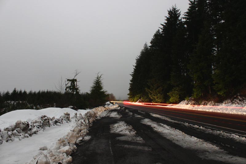
Winter Weather Advisory Central Oregon Coast Range Through Willapa Hills. Snow is expected with three inches up to 13 inches in the higher elevations of the routes to and from the coast, such as those intersecting with Long Beach, Seaside, Tillamook, Florence and Lincoln City. Winds will be gusting as high as 35 mph. This all begins 8 p.m. tonight and goes through early Monday afternoon.
“Travel could be very difficult to impossible,” the NWS said. “Slow down and use caution while traveling.”
High Wind Warning Southern Oregon Coast. This is in effect from late tonight through early afternoon on Monday. The NWS said. Southwest west winds of 35 to 45 mph with gusts up to 65 mph are expected. Higher gusts to 75 mph are possible at area headlands and capes. This covers the Coos, Curry, and Douglas county coasts, including Brookings, Gold Beach, Port Orford, Bandon, North Bend, Coos Bay, Reedsport, all area capes and headlands, and much of the US 101 corridor.
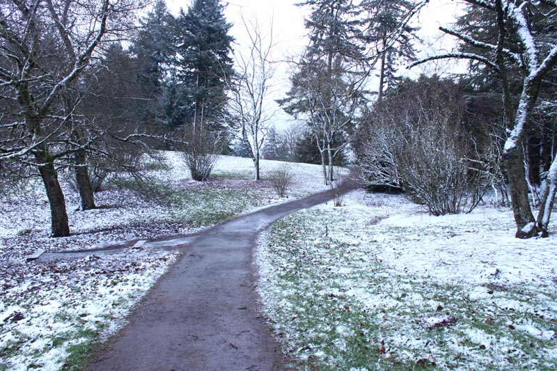
Travel issues through the Oregon Coast Range and south Washington coast hills may remain intermittently through Thursday as the NWS is predicting snow levels to periodically fall as low as 1500 feet. MORE PHOTOS BELOW
Oregon Coast Hotels in this area - South Coast Hotels - Where to eat - Maps - Virtual Tours
Cannon Beach Lodging
Nehalem Bay Lodgings
Manzanita Hotels, Lodging
Three Capes Lodging
Pacific City Hotels, Lodging
Lincoln City Lodging
Depoe Bay Lodging
Newport Lodging
Waldport Lodging
Yachats Lodging
Oregon Coast Vacation Rentals
Oregon Coast Lodging Specials
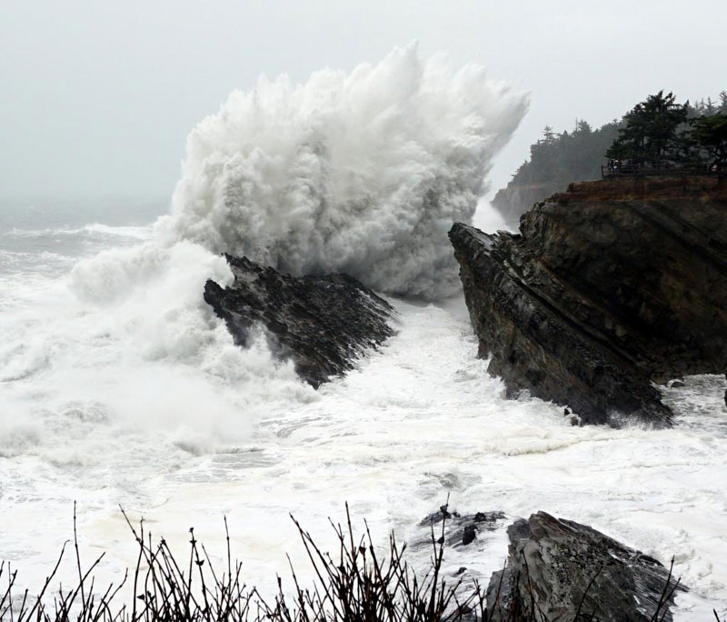
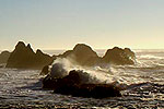
Coos Bay's Shore Acres, courtesy Brent Lerwill
More About Oregon Coast hotels, lodging.....
More About Oregon Coast Restaurants, Dining.....
LATEST Related Oregon Coast Articles
Trained volunteers and park rangers will staff 15 designated viewpoints. Marine sciences. Brookings events, Gold Beach events, Port Orford events, Coos Bay events, Bandon events, Florence events, Yachats events, Newport events, Lincoln City events, Rockaway Beach events, Manzanita events, Cannon Beach events, Seaside events, Astoria events
Pendleton Eastern Oregon Weather - Forecasts, Sky Cams, Alerts, Current Condi...
Pendleton Eastern Oregon Weather - Forecasts, Sky Cams, Alerts, Current Conditions
Redfish Music Fest Returns to South Oregon Coast, March 26 - 29
Port Orford, Bandon, North Bend, Brookings events. Port Orford events
87th Annual Azalea Fest Readies Its Return for Memorial Day Weekend on S. Ore...
Brookings brings back the long-running festival over Memorial Day weekend, May 22?25. Brookings events
Washington Coast Clam Digs Given Green Light in March
Long Beach, Twin Harbors, Copalis, and Mocrocks from March 17 through March 24. Washington events
Oregon State Police Fish and Wildlife Seek Help Finding Bull Elk Poachers
Cash awards are offered for information leading to arrests in this Prineville-area case. Sciences, eastern Oregon
Highway 6 to Oregon Coast Gets a Little Work, Some Delays
Rebuild the aging roadway between mileposts 4.4 and 9. Traffic
Deadliest Shipwreck in Oregon Coast History: Nehalem Event Talks About the Le...
Sat. March 14 at the NCRD. Manzanita events, Nehalem events, Cannon Beach events
Back to Oregon Coast
Contact Advertise on BeachConnection.net
All Content, unless otherwise attributed, copyright BeachConnection.net Unauthorized use or publication is not permitted


