South Oregon Coast Surf Advisory, Waves Up to 27 Ft - North Coast Likely High as Well
Published 11/09/24 at 8:45 p.m.
By Oregon Coast Beach Connection Staff
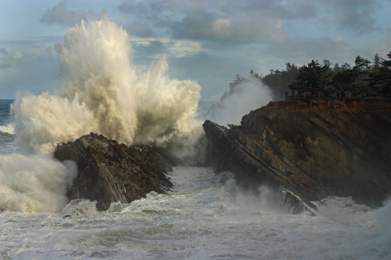
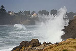
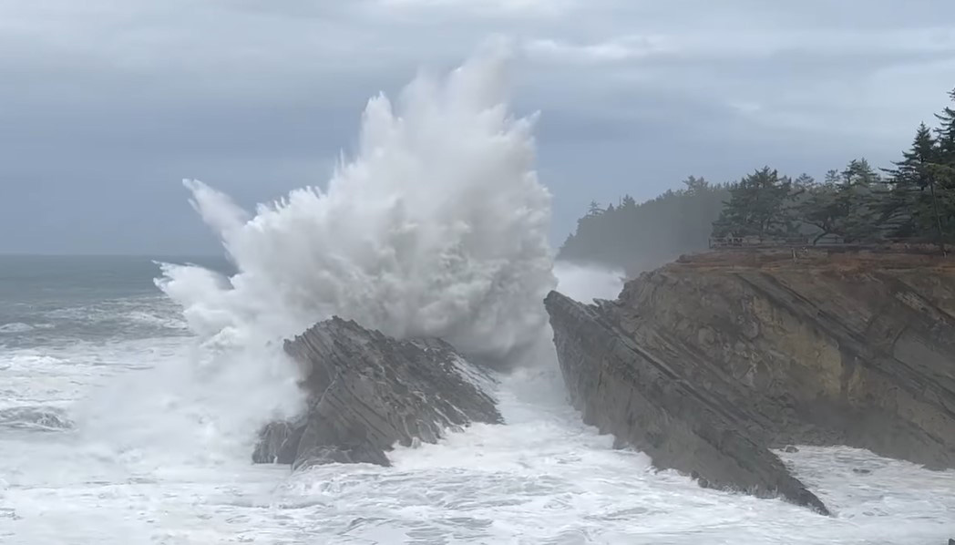
(Gold Beach, Oregon) – Keep an eye out for dangerous but spectacular conditions along the whole of the Oregon coast Monday and Tuesday, as offshore breakers will get up beyond 20 feet in most areas, creating a high surf advisory for Tuesday. (Photo Shore Acres, courtesy Oregon's Adventure Coast)
Includes exclusive listings; some specials in winter
In Cannon Beach:
Includes rentals not listed anywhere else
In Manzanita, Wheeler, Rockaway Beach:
Some specials for winter
In Pacific City, Oceanside:
Some specials for winter
In Lincoln City:
Some specials for winter
In Depoe Bay, Gleneden Beach:
Some specials for winter
In Newport:
Look for some specials
In Waldport
Some specials for winter
In Yachats, Florence
Some specials for winter
Southern Oregon Coast Hotels / Lodgings
Reedsport to Brookings, places to stay; winter deals
The National Weather Service (NWS) office in Medford issued the high surf advisory for the south coast, in effect late Monday through all of Tuesday. That includes Reedsport, Coos Bay, Bandon, Port Orford, Gold Beach and Brookings.
Large breaking waves of 23 to 27 feet are possible, but on the northern half it's unclear if advisory criteria will be reached – though certainly possible.
“Large breaking waves create hazardous conditions along and within the surf zone, and could inundate beaches and low lying shorelines,” the NWS said. “If you have plans to venture out to the beaches early-mid next week, pay close attention to the ocean, stay away from the surf zone and off of jetties.”
See Washington Coast Weather - Oregon Coast Weather (including tides) - Inland Oregon Weather
Beach erosion is also quite possible.
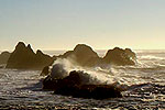
It's a good idea to stay off beaches, but rocky areas like Coos Bay's Shore Acres should be rocking Tuesday and maybe even Monday.
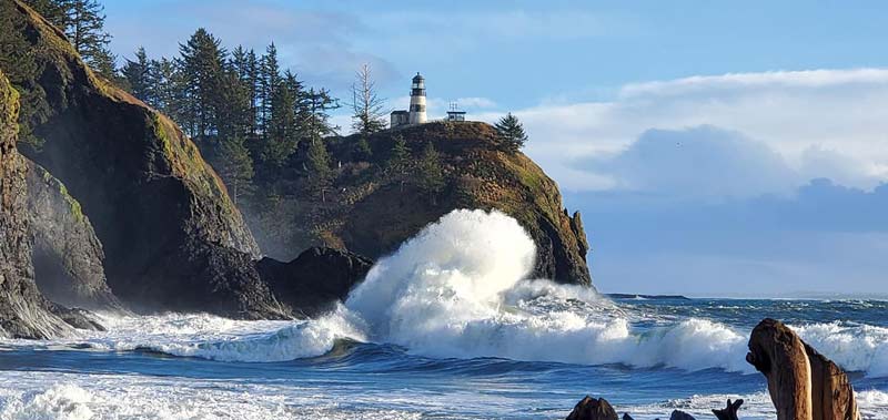
Cape Disappointment, Angi D Wildt Gallery
However, harsh winds and rain are also a likelihood around this time.
Over the weekend, wave action will be ramping up, especially on the south Oregon coast.
“Model guidance has been consistently showing NW swells arriving following the front Sunday night into Monday,” the NWS said.
Then, things pick up quickly that day.
“Early indications are showing peak swells 17-21 feet with a period of 15-16 seconds,” the NWS said. “This would maintain very high and very steep seas through midweek.”

On the northern half, conditions look just a little less chaotic, although advisories could still be issued. The areas of Yachats, Newport, Lincoln City, Pacific City, Rockaway Beach, Manzanita and Seaside will see some large breakers as well.
“Still expecting a robust westerly swell to build seas at least into the upper teens Monday night into Tuesday morning,” the NWS said. “Confidence continues to grow for significant wave heights to exceed 20 ft, with guidance suggesting there is greater than a 90% chance.”
MORE STORM PHOTOS BELOW
Oregon Coast Hotels for this event - South Coast Hotels - Oregon Coast Vacation Rentals - Where to eat - Maps - Virtual Tours
Oregon Coast Vacation Rentals
Oregon Coast Lodging Specials
Oregon's Adventure Coast
More About Oregon Coast hotels, lodging.....
More About Oregon Coast Restaurants, Dining.....
 Andre' GW Hagestedt is editor, owner and primary photographer / videographer of Oregon Coast Beach Connection, an online publication that sees over 1 million pageviews per month. He is also author of several books about the coast.
LATEST Related Oregon Coast Articles
Lyrid Meteors with a Possible Side of Aurora for Washington, Oregon, CoastlinesLyrids peak on Monday, northern lights possible northern Washington. Weather
Oregon Coast Roadwork, Traffic Delays Coming to Port Orford's Cape Blanco, As...
Blanco this week, Astoria-Megler Bridge, Humbug Creek in Coast Range. Seaside, Cannon Beach, Bandon
Catching Another Side of Astoria: Ethereal Oregon Coast Scenery at Night
A photo essay: surreal city and maybe some Star Trek
Search for Missing Teen Called Off After Involving Coast Guard from Washingto...
Two companions that tried to help also needed rescue at Long Beach. Beach safety, sciences
Winema Wayfinding Point or Pacific Crest Wayside: an Oregon Coast Puzzle
Between Neskowin and Pacific City sits a viewpoint with two names. Travel tips
Ready for Cuteness Overload? Astoria Fire Rescues Ducklings from N. Oregon Co...
A tour bus driver witnessed seven baby ducks fall into a sewer drain. Marine sciences
Coast Guard Medevacs Patient from Cruise Ship Off South Oregon Coast - Video
15 miles from Coos Bay, the man was taken to a local hospital in good condition. Beach safety
Sip and Stroll Yachats Returns, Filling Oregon Coast Town with Vino and Delights
Saturday, April 19, 2025 going from 12 to 5 p.m. Yachats events
Back to Oregon Coast
Contact Advertise on Oregon Coast Beach Connection
All Content, unless otherwise attributed, copyright © Oregon Coast Beach Connection. Unauthorized use or publication is not permitted


