South Oregon Coast Surf Advisory: Waves 23 Feet or More
Published 10/29/24 at 9:10 p.m.
By Oregon Coast Beach Connection Staff

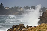
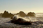
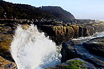
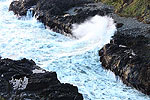
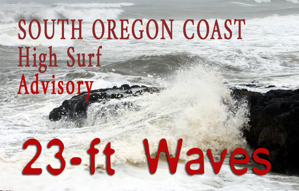
(Coos Bay, Oregon) – Get ready for a bit of a wild ride on the south coast Thursday and Friday, as the National Weather Service (NWS) has issued a high surf advisory for those days. Areas like Coos Bay, Bandon, Gold Beach, Port Orford and Brookings will get "large breaking waves between 23 and 26 feet," according to the NWS. (Above: Oregon King Tides / Steven Gallery - at Shore Acres)
Includes exclusive listings; some specials in winter
In Cannon Beach:
Includes rentals not listed anywhere else
In Manzanita, Wheeler, Rockaway Beach:
Some specials for winter
In Pacific City, Oceanside:
Some specials for winter
In Lincoln City:
Some specials for winter
In Depoe Bay, Gleneden Beach:
Some specials for winter
In Newport:
Look for some specials
In Waldport
Some specials for winter
In Yachats, Florence
Some specials for winter
Southern Oregon Coast Hotels / Lodgings
Reedsport to Brookings, places to stay; winter deals
The advisory is in effect from 11 a.m. on Thursday to 5 a.m. on Friday, for Coos, Curry and Douglas Counties – which includes Reedsport and much of the Oregon Dunes National Recreation Area.
The NWS urged extreme caution and to stay away from small beaches, especially those that are not broad and with quick access to higher ground.
“Large breaking waves will create hazardous conditions along and within the surf zone, and could inundate beaches and low lying shorelines,” the NWS said. “Beach erosion is possible, and exposed infrastructure may be damaged.”
Absolutely stay off all jetties.
The map for the hazard area can be found here https://www.wrh.noaa.gov/map/?wfo=mfr.
Oregon's south coast is where there will be more action than up north, certainly just offshore.
See Washington Coast Weather - Oregon Coast Weather - Inland Oregon Weather
“Seas will reach up to 15 feet Wednesday night before peaking at 22 feet Thursday evening,” the NWS said. “An upper ridge then builds in just off the coast by next weekend. This should result in another large swell around 14 to 16 feet moving in on Sunday evening.”
A variety of gale and small craft warnings have been issued for all waters off the Oregon coast, but only the southern portion gets the large waves. These won't be relevant for areas north of Florence, such as Newport, Lincoln City, Rockaway Beach or Seaside.
Swells off the north coast are expected to pass beyond 14 feet high on Thursday, which will create a nice show for areas like Yachats or Oceanside.
Down south, this will likely mean massive waves at Shore Acres near Coos Bay, and substantially large displays in and around Thursday.
When weather experts say “23-foot waves” it does not mean a wall of water 23 feet heading onshore. This refers to the height measured offshore just before it comes in. See the full story on how they measure wave height. 'Wave Height' Explained Along Oregon, Washington Coast: What It Means
MORE STORM PHOTOS BELOW
Oregon Coast Hotels for this event - South Coast Hotels - Oregon Coast Vacation Rentals - Where to eat - Maps - Virtual Tours
Oregon Coast Vacation Rentals
Oregon Coast Lodging Specials
Below: Oceanside - Oregon Coast Beach Connection
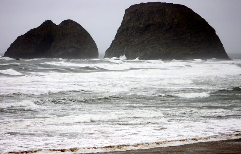
'Wave Height' Explained Along Oregon, Washington Coast: What It Means What does it mean when the NWS says '30-foot waves' are coming onshore?
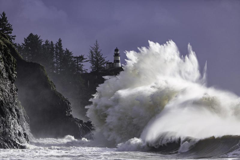
Cape Disappointment, courtesy Long Beach Peninsula Visitors.
More About Oregon Coast hotels, lodging.....
More About Oregon Coast Restaurants, Dining.....
 Andre' GW Hagestedt is editor, owner and primary photographer / videographer of Oregon Coast Beach Connection, an online publication that sees over 1 million pageviews per month. He is also author of several books about the coast.
LATEST Related Oregon Coast Articles
Oregon History This Week: State Capitol Burned Down in '35, Second Time in 80...April 25, 1935 was the second fire of the Salem landmark, and both are still unexplained
Frost Advisory Tonight for Oregon, Areas Near Coast, Then Sunny Weekend in 70s
Temps near freezing tonight, then weekend soars into 60s on beach, 70s inland. Weather
Whale Body Parts Found on Oregon Coast - Two Whales Strand on Washington Coast
One was a rare orca find; both suspected human interaction. Marine sciences
Nehalem State Park Mostly Reopens, Other Oregon Coast Landmarks Follow Soon
Those at Bandon and near Depoe Bay are coming. Travel tips, hotels, camping
Some Minor Traffic Impact This Month on Oregon Coast Range, Near Nehalem
Highway 26 at Humbug Creek and Miami Foley Road. Travel tips
Washington Coast Cleanup on April 19 - Coinciding with Oregon Coast's SOLVE E...
From the Puget Sound to Long Beach, alongside Oregon's cleanup. Washington coast events, Seaside events
Florence Latest Oregon Coast Town to Add Mobi-Mats, Hearing Loops, More Acces...
Florence is increasing efforts to ensure fun for all guests. Travel tips
Sip and Stroll Yachats Returns, Filling Oregon Coast Town with Vino and Delights
Saturday, April 19, 2025 going from 12 to 5 p.m. Yachats events
Back to Oregon Coast
Contact Advertise on Oregon Coast Beach Connection
All Content, unless otherwise attributed, copyright © Oregon Coast Beach Connection. Unauthorized use or publication is not permitted


