Why Spring Weather is So Erratic on Oregon / Washington Coast: Meteorologist Explains
Published 04/08/21 at 5:35 PM PDT
By Oregon Coast Beach Connection staff
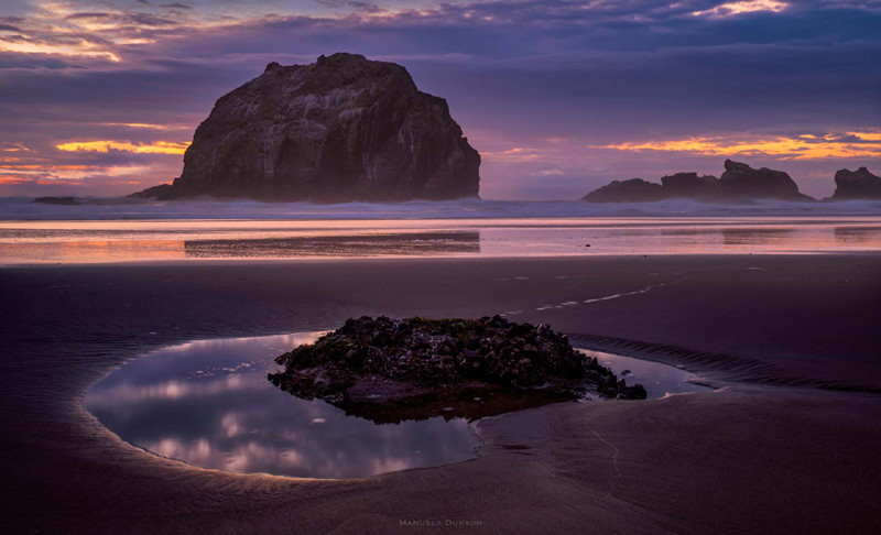
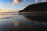
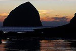
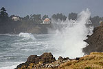
(Florence, Oregon) – To say that spring weather is a mixed bag along the Oregon coast or Washington coast would be a massive understatement. It be cray cray. It’s a true madman. Erratic and abrupt, from March through early June it can shift from sunny to moody clouds, then from a massive downpour, a run of hail or even thunder at the turn of a dime. Although by May it starts to calm considerably, but still hosting large, cumulus clouds and moody conditions. (Above: Face Rock in Bandon. Photo courtesy Manuela Durson - see Manuela Durson Fine Arts for more)
No other time of year along the beaches does it get this erratic. In fact, those of us inland have to deal with the same thing to some degree, but along the beach towns of Washington and Oregon it's wild and exaggerated.
Includes exclusive listings; some specials in winter
In Cannon Beach:
Includes rentals not listed anywhere else
In Manzanita, Wheeler, Rockaway Beach:
Some specials for winter
In Pacific City, Oceanside:
Some specials for winter
In Lincoln City:
Some specials for winter
In Depoe Bay, Gleneden Beach:
Some specials for winter
In Newport:
Look for some specials
In Waldport
Some specials for winter
In Yachats, Florence
Some specials for winter
Southern Oregon Coast Hotels / Lodgings
Reedsport to Brookings, places to stay; winter deals
Yet why?
Meteorologist Tyler Kranz in Portland, Oregon, works for the National Oceanic and Atmospheric Administration (NOAA) and the Portland office of the National Weather Service (NWS). He explained spring is a time of unstable air masses, a lot of moisture, and an increase of something called convection.
It's a bit of a complex answer, and one that's pretty unique to the Pacific Northwest.
“Basically, in spring we have typically a lot of low pressure systems coming in from the west and moving inland,” Kranz said. “And with those low pressure systems you have a frontal system with it, like a warm front and a cold front behind it. Or maybe an accluded front, which is where the cold front catches up to the warm front.”
Kranz says all this comes down to a lot of unstable air from the ocean on upwards, and somewhat from the land upwards as well. That instability coupled with merging and moving weather systems out at sea, and a lot of moisture in the air create these rapid changes in weather patterns, sometimes producing not just bouts of sun and rain but hail as well as thunder.
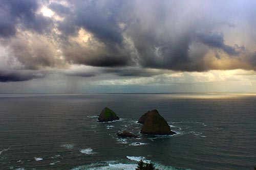
However, it's not even that simple.
Kranz said these ocean systems come in during winter, providing persistent stratoform rain – where it rains all day or much of the day.
He said the big difference for spring is we enter a convective season here in the Northwest. Convection is – well, the short answer is it has to do with how air rises to form clouds. That dynamic plus a lot of moisture to draw from creates more clouds.
“In spring there's more instability in the atmosphere typically than we would have in winter,” Kranz said. “The atmosphere is more favorable to showers and thunderstorms – it's all very spotty in nature, very on and off. This is why you have billowing white cumulus clouds, which, if they get deeper, they can turn into showers.”
Kranz said meawhile the land is heating up during the season.
“Because the sun is essentially stronger and higher in the sky,” he said.
Then you have all this convective energy created between the colder and warmer layers – more of the dynamic of air rising up from the surface and turning into clouds. Convection and how they create clouds is important here. The moisture rises up and condenses into clouds as it gets into the colder upper layers. If the clouds have enough moisture and convection, they grow vertically and start doling out showers or maybe thunderstorms.
There's something called a “cap” in meteorology, which is a layer of warm air several thousand feet above us.
“In spring we often don't have a cap and there's plenty of moisture from the nearby ocean,” he said. “That's the perfect recipe for convection.”
In summer, there's less moisture and more of a cap. This cuts down on convection and evens out weather patterns.
With unstable air or layers being an important part of the recipe for crazy spring weather – just what makes them unstable?
At the beginning of all these dynamics is one rather elegant thing.
“Air aloft is colder in spring during summer, which means more instability,” Kranz said.
“It has to do with temperatures changing with height, from the ground up to the middle atmosphere,” Kranz said. “So if the temperatures are cooling rapidly as you go up, up into the sky, you have what's called a steeper lapse rate. If that rate is steep enough it becomes unstable. Another reason spring is better for convection than summer is the higher lapse rates.”
Oregon Coast Hotels in this area - South Coast Hotels - Where to eat - Maps - Virtual Tours
Cannon Beach Lodging
Nehalem Bay Lodgings
Manzanita Hotels, Lodging
Three Capes Lodging
Pacific City Hotels, Lodging
Lincoln City Lodging
Depoe Bay Lodging
Newport Lodging
Waldport Lodging
Yachats Lodging
Oregon Coast Vacation Rentals
Oregon Coast Lodging Specials
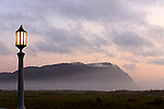
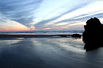
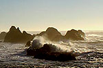
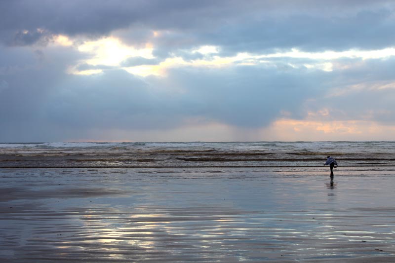
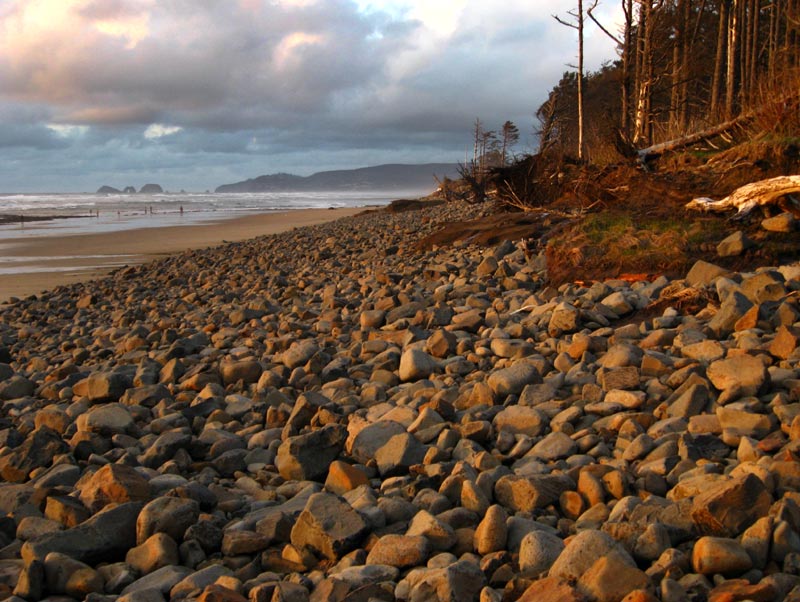
Images of spring skies around the Oregon coast
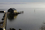
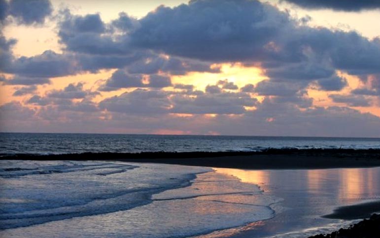
Below: Willapa Bay area, courtesy Wallapa Harbor Visitors Center
More About Oregon Coast hotels, lodging.....
More About Oregon Coast Restaurants, Dining.....
LATEST Related Oregon Coast Articles
The sixth in the NW in three weeks; early indications suggest it may have been undernourished. Marine sciences
Now Begins the 'Season of Satellites' Above Oregon, Washington: Summer's Surr...
Not even counting meteors, these satellite trains can create wild colors and streaks in the sky. Astronomy, weather. Brookings events, Gold Beach events, Port Orford events, Coos Bay events, Bandon events, Florence events, Yachats events, Newport events, Lincoln City events, Rockaway Beach events, Manzanita events, Cannon Beach events, Seaside events, Astoria events
7-Day Parking Meters Return to Central Oregon Coast Town, and Now to Nye Beac...
Newport?s Bayfront will charge all week, and the Nye Beach Turnaround will now do the same. Travel tips, traffic
87th Annual Azalea Fest Readies Its Return for Memorial Day Weekend on S. Ore...
Brookings brings back the long-running festival over Memorial Day weekend, May 22?25. Brookings events
Harrowing Accident Scene on S. Oregon Coast Turns Into Search for Driver and ...
Sheriffs found an empty vehicle and searched nearly 24 hours before locating the driver. Traffic
Another Dead Whale Stranding, This Time Near Yachats on Central Oregon Coast
Reports differ on whether it was alive at first; scientists are examining the carcass. Marine sciences
Washington Coast Cleanup Scours Inner and Outer Coast, April 25
Volunteers are needed along the outer coast and throughout the Salish Sea. Washington coast events
4th of July at N. Oregon Coast's Sand Lake Now Requires Pre-Sales for Camping...
Congestion and overcrowding in recent years at Sand Lake Recreation Area near Pacific City. Traffic, travel tips
Back to Oregon Coast
Contact Advertise on BeachConnection.net
All Content, unless otherwise attributed, copyright BeachConnection.net Unauthorized use or publication is not permitted


