Oregon Coast High Wind Warning, 75 mph Gusts - Portland High Wind Watch
Published 04/06/2018 at 5:15 AM PDT - Updated 04/06/2018 at 5:25 AM PDT
By Oregon Coast Beach Connection Staff
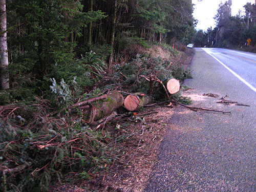
(Oregon Coast) – UPDATE: there is now a high surf advisory added. Even the Portland and valley areas may get hit by this storm.
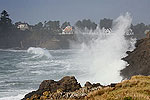
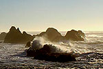
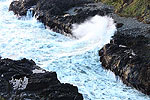
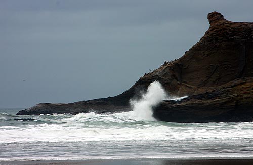
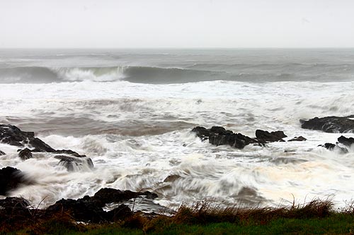
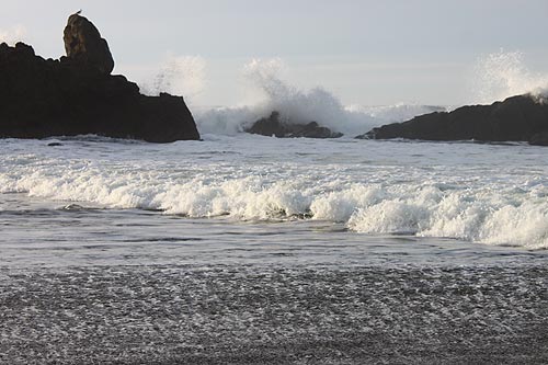
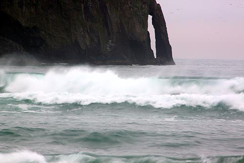
The National Weather Service (NWS) has scrapped the high wind watch for the Oregon coast and upgraded it to a high wind warning, in effect from 4 a.m. to 8 p.m. on Saturday. South winds of around 30 to 45 mph are expected on beaches and headlands with gusts up to 75 mph, while coastal towns should get gusts around 65 mph. Massive waves are expected as well - near 30 feet - now bringing a high surf advisory.
Includes exclusive listings; some specials in winter
In Cannon Beach:
Includes rentals not listed anywhere else
In Manzanita, Wheeler, Rockaway Beach:
Some specials for winter
In Pacific City, Oceanside:
Some specials for winter
In Lincoln City:
Some specials for winter
In Depoe Bay, Gleneden Beach:
Some specials for winter
In Newport:
Look for some specials
In Waldport
Some specials for winter
In Yachats, Florence
Some specials for winter
In addition to the high wind warning for the coast range and beaches, the NWS has issued a high wind watch for northwest inland towns along the I-5 corridor, including Portland, Salem, Corvallis and Eugene. There, gusts up to 40 to 55 mph are possible. While not positive, the NWS said conditions are favoring this scenario from late Friday through late Saturday.
“The strongest gusts occur from daybreak Saturday through early afternoon at the coast,” the NWS said. “Strongest gusts may continue though the early evening across the Coast Range.”
Winds in all areas could bring down trees and damage power lines. Travel may be difficult for high-profile vehicles.
Combined seas will start to rise on Saturday morning to a gnarly 19 feet, but then power up to nearly 30 feet in the day. They then drop a bit to 25 feet late at night. Heavy conditions continue on Sunday at around 21 feet with sizable rain amounts. Meanwhile winds will still be considerable but not stormy and unpleasant conditions for walking outdoors.
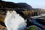
That will make Sunday a decent day to go stormwatching – but stay off small beaches, jetties and rocky ledges of any kind. The most dangerous areas will be within 30 feet of the tideline at rocky areas like Depoe Bay, Pacific City, Oceanside or Yachats. Luckily, all of these have safe viewing areas to watch the melee.
Monday on the Oregon coast becomes partly sunny and pleasant conditions, and the seas die down. However, they pick back up again to well over 20 feet on Tuesday as another system comes in.
The NWS said it is firmly confident in the high wind warning for the coast range and Oregon coast towns, but the inland and Portland predictions of storm strength are a bit trickier.
“The winds inland may arrive in two parts,” the NWS said. “First in the morning, as the occluded front moves through. It may be difficult to mix down the stronger winds at this time period since the lowest levels of the atmosphere may be too stable and the surface pressure gradient is not open enough at that time. The second round (more likely) is in the afternoon as the surface pressure gradient is more favorable for winds and is more mixed to surface the stronger winds from aloft.”
Thunderstorms are a possibility inland and on the Oregon coast for Friday and Saturday. Oregon Coast Weather.
Oregon Coast Lodgings for this event - Where to eat - Maps - Virtual Tours
Cannon Beach Lodging
Nehalem Bay Lodgings
Manzanita Hotels, Lodging
Three Capes Lodging
Pacific City Hotels, Lodging
Lincoln City Lodging
Depoe Bay Lodging
Newport Lodging
Waldport Lodging
Yachats Lodging
Oregon Coast Vacation Rentals
Oregon Coast Lodging Specials
More About Oregon Coast hotels, lodging.....
More About Oregon Coast Restaurants, Dining.....
LATEST Related Oregon Coast Articles
Likely just before dawn best hour but peak happens during daylight. Weather
Dark Sky Week is Prime Along Oregon Coast: Where and Where Not to Go
General guide to dark sky viewing from south to north coast. Astronomy
Sizable Price Drop, Deals in Lincoln City During Quiet of April on Central Or...
20 perc off at A1 Vacation Rentals across its roster, including Gleneden Beach. Lincoln City specials
Upcoming S. Oregon Coast Events Include Gem Show, History: Coos Bay, Bandon
May 6 talk at Coos History Museum, Mayfly Fest May 17, Bandon Rock / Gem Show June 7,8
Washington Coast Cleanup on April 19 - Coinciding with Oregon Coast's SOLVE E...
From the Puget Sound to Long Beach, alongside Oregon's cleanup. Washington coast events, Seaside events
Astoria's Riverwalk Gets New Lighting, More N. Oregon Coast Roadwork
Delays coming this summer, but the riverwalk has a new look. Seaside, Cannn Beach
April Gets Even Cheaper Midweek at Depoe Bay, Lincoln City: Oregon Coast Deals
Off-season rates plus more at Keystone Vacation Rentals. Depoe Bay lodging specials, Lincoln City hotel reviews, Newport hotel reviews
Washington Coast Begins Week of Clam Digs, April 12 Through 18
Long Beach, Twin Harbors, Mocrocks and Copalis at different times. Washington coast events
Back to Oregon Coast
Contact Advertise on BeachConnection.net
All Content, unless otherwise attributed, copyright BeachConnection.net Unauthorized use or publication is not permitted


