High Surf, Wind Warnings for Oregon Coast, Flooding - Continues Through Wednesday
Published 12/13/2018 at 5:09 PM PDT
By Oregon Coast Beach Connection Staff
Includes exclusive listings; some specials in winter
In Cannon Beach:
Includes rentals not listed anywhere else
In Manzanita, Wheeler, Rockaway Beach:
Some specials for winter
In Pacific City, Oceanside:
Some specials for winter
In Lincoln City:
Some specials for winter
In Depoe Bay, Gleneden Beach:
Some specials for winter
In Newport:
Look for some specials
In Waldport
Some specials for winter
In Yachats, Florence
Some specials for winter
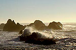
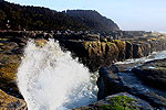
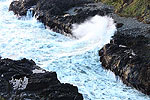
(Oregon Coast) – A steady stream of storms, winds and gnarly seas appear to be in store for the Oregon coast through Wednesday, with some intermittent, slightly calmer periods. The National Weather Service (NWS) in Portland has called for a high surf advisory through next week, a high wind warning for Friday, and it’s predicting flooding along the coast as well as inland areas like Portland.
It will be “wet, windy and warm,” the NWS said. But there is brief good news for comet and meteor hunting - tonight only.
A series of storms is gearing up to hit the region, creating significant ocean swells.
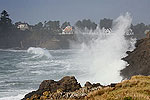
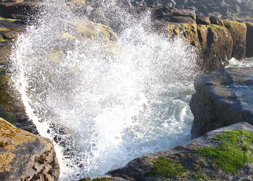
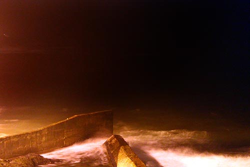
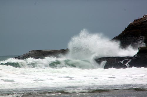
Currently there is a high surf advisory for the Oregon coast in effect from 9 a.m. on Friday until 10 p.m., bringing the possibility of 25-foot waves and plenty of sneaker wave danger. Bigger wave height is expected later in the week and weekend.
A high wind warning is in effect from 4 a.m. until 4 p.m. Friday for the beaches and headlands. South winds of 30 to 40 mph with gusts up to 65 mph are possible. Winds in Oregon coast towns will not be as heavy.
The NWS issued a special weather statement saying heavy rains are coming early in the week, bringing the possibility of flooding to some regions of northwest Oregon – including Portland – while the worst will be in the coast range, Willapa Hills of Washington and the western Cascades. Two to five inches of rain are possible on Monday and Tuesday, while Wednesday may see more flooding after all this rain has piled up.
This series of storms will see a minor lull on Saturday, but Sunday through Tuesday will bring more rain, winds and certainly higher surf. However, the NWS said it’s too early to know the exact details of the Sunday through Tuesday events.
“We will be dealing with some significant long-period westerly swell arriving over the next several days,” the NWS said. “This will result in high surf conditions along the Washington and Oregon beaches. Even bigger seas are expected to arrive later in the weekend. This will likely result in high surf warning criteria being met, and we will be looking at the potential for some coastal flooding issues as well. With these long period westerly swells, sneaker waves are also a concern.”
Combined seas will be around 16 feet on Saturday, rising up to 20 feet on Sunday. Then Monday and Tuesday see a return of 25-foot breakers.
The one bit of good news: there are some cloud breaks tonight and overnight for the Portland area and the Oregon coast, which will mean it’s possible to see some of the Geminid meteor showers. Look to the skies after 8 p.m. See Meteor Shower, Comet Above Oregon and the Coast - Sort Of
- Where to eat - Maps - Virtual Tours
More Resources: See the Oregon Coast Web Cams. See Oregon Coast Weather. See Oregon Coast Oceanfront Hotels to watch the waves here and some suggestions below.
 Schooner’s Cove Inn. All oceanfront rooms and suites w/ remodeled kitchens and bathrooms. 188 North Larch Street. Cannon Beach, Oregon. (800) 843-0128. www.schoonerscove.com.
 Beach Break Vacation Rentals, LLC. Rental houses in Manzanita, along Nehalem River, Falcon Cove, Neahkahnie Mountain, Rockaway Beach, down to Cape Meares. Office in Nehalem, on 101. 503-368-3865. 877-655-0623. www.beach-break.com
 Keystone Vacation Rentals. Luxury oceanfront condos. Depoe Bay and Lincoln City. (503) 443-1414). www.KeystoneVacationsOregon.com
Cannon Beach Lodging
Nehalem Bay Lodgings
Manzanita Hotels, Lodging
Three Capes Lodging
Pacific City Hotels, Lodging
Lincoln City Lodging
Depoe Bay Lodging
Newport Lodging
Waldport Lodging
Yachats Lodging
Oregon Coast Vacation Rentals
Oregon Coast Lodging Specials
More About Oregon Coast hotels, lodging.....
More About Oregon Coast Restaurants, Dining.....
LATEST Related Oregon Coast Articles
The sixth in the NW in three weeks; early indications suggest it may have been undernourished. Marine sciences
Now Begins the 'Season of Satellites' Above Oregon, Washington: Summer's Surr...
Not even counting meteors, these satellite trains can create wild colors and streaks in the sky. Astronomy, weather. Brookings events, Gold Beach events, Port Orford events, Coos Bay events, Bandon events, Florence events, Yachats events, Newport events, Lincoln City events, Rockaway Beach events, Manzanita events, Cannon Beach events, Seaside events, Astoria events
7-Day Parking Meters Return to Central Oregon Coast Town, and Now to Nye Beac...
Newport?s Bayfront will charge all week, and the Nye Beach Turnaround will now do the same. Travel tips, traffic
87th Annual Azalea Fest Readies Its Return for Memorial Day Weekend on S. Ore...
Brookings brings back the long-running festival over Memorial Day weekend, May 22?25. Brookings events
Harrowing Accident Scene on S. Oregon Coast Turns Into Search for Driver and ...
Sheriffs found an empty vehicle and searched nearly 24 hours before locating the driver. Traffic
Another Dead Whale Stranding, This Time Near Yachats on Central Oregon Coast
Reports differ on whether it was alive at first; scientists are examining the carcass. Marine sciences
Washington Coast Cleanup Scours Inner and Outer Coast, April 25
Volunteers are needed along the outer coast and throughout the Salish Sea. Washington coast events
4th of July at N. Oregon Coast's Sand Lake Now Requires Pre-Sales for Camping...
Congestion and overcrowding in recent years at Sand Lake Recreation Area near Pacific City. Traffic, travel tips
Back to Oregon Coast
Contact Advertise on BeachConnection.net
All Content, unless otherwise attributed, copyright BeachConnection.net Unauthorized use or publication is not permitted


