Oregon Coast Gets Sneakers Waves; Snow in Passes, Portland, Valley
Published 11/23/2019 at 1:25 PM PDT
By Oregon Coast Beach Connection staff
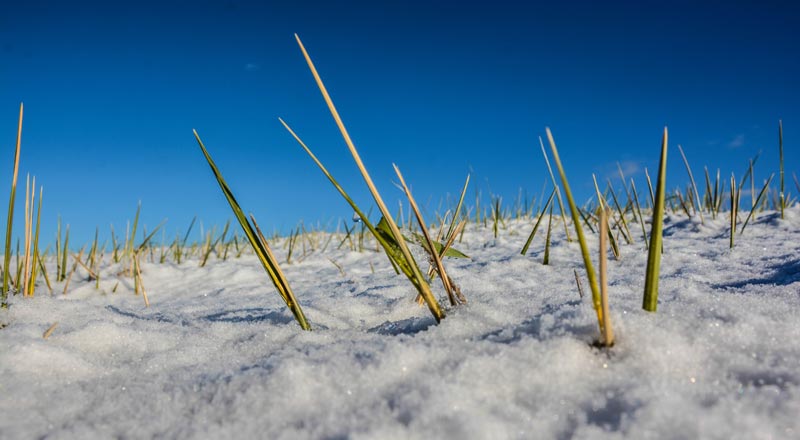
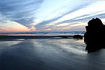
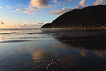
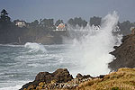
(Oregon Coast) – It’s going to be a busy holiday week in terms of weather, with sneaker waves on the Oregon coast, snow in the passes over Thanksgiving and in places like Portland, Salem and Eugene. There’s even the outside chance snow will make it to the valley floor – and even the beaches. (Photo courtesy Seaside Aquarium)
The National Weather Service (NWS) said snow levels will be dropping quickly mid week, but even before that the beaches will see large waves and the good possibility of dangerous sneaker waves over the weekend. Snow will start hitting about Thanksgiving so caution should be exercised when heading over the Coast Range passes for the holiday weekend, but coming back home should not be an issue.
It all starts this weekend with a helping of sneaker waves.
“Watch out for sneaker waves hitting the beaches through this weekend, and stay off the jetties and the logs,” the NWS said. “Logs on the beach are wet and extremely heavy and can weigh hundreds of pounds. Yet, a single sneaker wave can lift and roll these logs further up the beach, as well as roll them back down the beach. Log rolls have proven fatal. Never, never stand, sit or play on debris logs on the beach.”
The culprit is the long period swells continuing through Saturday, up around 18 seconds – coupled with combined seas of nearly 20 feet at times. The timing for swells allows waves to combine and create larger jumbles of breakers.
“While the period will ease slightly to around 15 seconds on Sunday, seas should remain in the 11 to 13 ft range through Sunday,” the NWS said.
From the southern Oregon coast up to Astoria, things start out sunny this weekend but quickly move to a pattern of rain – just as in valley towns such as Portland, Salem and Eugene.
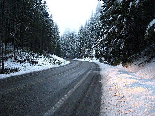
On Tuesday, the snow level moves from 2000 feet down to 1800 feet, then later lowering further to 1300 feet. This puts the hilltop regions of Eugene, Portland and Salem under the possibility of snow – and certainly the higher points of the coast range passes to the beaches, such as Highway 38, Highway 26 or Highway 18.
By Wednesday and Thanksgiving, snow levels will be getting a bit lower to 1200 feet, but it seems this weather system will not stick around for the weekend. Be cautious heading to the Oregon coast for the Thanksgiving weekend, but it should be dry after that. See Willamette Valley Road Conditions, Traffic
The NWS said there’s still plenty of leeway in the forecast models that far out, and the agency is not sure how much snow – if any – will make it to the valley floor.
One meteorologist told Oregon Coast Beach Connection it is looking less and less likely there would be snow on the beaches, but it was still an “outside” possibility.
“For now, we continued to trend our forecast colder, with snow levels generally around 2000 feet Tuesday then down to 1000-1500 feet by Wednesday,” the NWS said. “Longer range guidance appears to be in decent agreement that the upper trough will park over the Pac NW through Thanksgiving, with scattered showers and possibly even a few flurries reaching down to the lowest elevations.”
Snow level predictions seem to get higher around Eugene than in Portland, according to the NWS forecasts. Even the southern Oregon coast will get chilly in the coast range, with snow levels lowering to 1200 feet there. See: Oregon Coast Weather || Washington Coast Weather || Oregon Coast Traffic Conditions
Oregon Coast Hotels for this event - Where to eat - Map - Virtual Tour
Cannon Beach Lodging
Nehalem Bay Lodgings
Manzanita Hotels, Lodging
Three Capes Lodging
Pacific City Hotels, Lodging
Lincoln City Lodging
Depoe Bay Lodging
Newport Lodging
Waldport Lodging
Yachats Lodging
Oregon Coast Vacation Rentals
Oregon Coast Lodging Specials
More About Oregon Coast hotels, lodging.....
More About Oregon Coast Restaurants, Dining.....
LATEST Related Oregon Coast Articles
The sixth in the NW in three weeks; early indications suggest it may have been undernourished. Marine sciences
Now Begins the 'Season of Satellites' Above Oregon, Washington: Summer's Surr...
Not even counting meteors, these satellite trains can create wild colors and streaks in the sky. Astronomy, weather. Brookings events, Gold Beach events, Port Orford events, Coos Bay events, Bandon events, Florence events, Yachats events, Newport events, Lincoln City events, Rockaway Beach events, Manzanita events, Cannon Beach events, Seaside events, Astoria events
7-Day Parking Meters Return to Central Oregon Coast Town, and Now to Nye Beac...
Newport?s Bayfront will charge all week, and the Nye Beach Turnaround will now do the same. Travel tips, traffic
87th Annual Azalea Fest Readies Its Return for Memorial Day Weekend on S. Ore...
Brookings brings back the long-running festival over Memorial Day weekend, May 22?25. Brookings events
Harrowing Accident Scene on S. Oregon Coast Turns Into Search for Driver and ...
Sheriffs found an empty vehicle and searched nearly 24 hours before locating the driver. Traffic
Another Dead Whale Stranding, This Time Near Yachats on Central Oregon Coast
Reports differ on whether it was alive at first; scientists are examining the carcass. Marine sciences
Washington Coast Cleanup Scours Inner and Outer Coast, April 25
Volunteers are needed along the outer coast and throughout the Salish Sea. Washington coast events
4th of July at N. Oregon Coast's Sand Lake Now Requires Pre-Sales for Camping...
Congestion and overcrowding in recent years at Sand Lake Recreation Area near Pacific City. Traffic, travel tips
Back to Oregon Coast
Contact Advertise on BeachConnection.net
All Content, unless otherwise attributed, copyright BeachConnection.net Unauthorized use or publication is not permitted


