This Week: Sneaker Waves South Oregon Coast, Sunny, near 70 and Storm Waves Later
Published 10/15/23 at 6:12 a.m.
By Oregon Coast Beach Connection staff
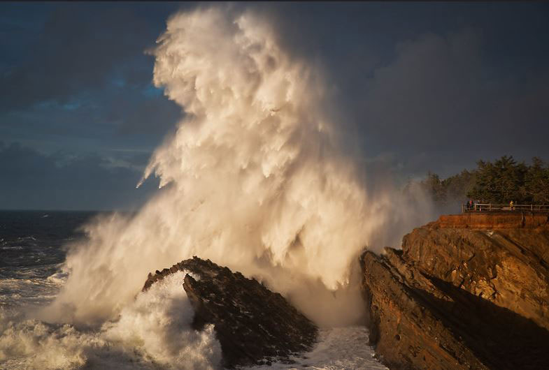
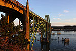
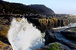
(Bandon, Oregon) – There is a beach hazards statement for the south Oregon coast currently in effect until later today (Sunday) and more sneaker wave situations are coming later in the week, but there's also some sunny and warm days in the wings. If you're looking for storm action and sunny weather on the beaches, you'll be in luck. There's good reasons to play hooky from work. (Above: Shore Acres, courtesy Manuela Durson Fine Arts)
Includes exclusive listings; some specials in winter
In Cannon Beach:
Includes rentals not listed anywhere else
In Manzanita, Wheeler, Rockaway Beach:
Some specials for winter
In Pacific City, Oceanside:
Some specials for winter
In Lincoln City:
Some specials for winter
In Depoe Bay, Gleneden Beach:
Some specials for winter
In Newport:
Look for some specials
In Waldport
Some specials for winter
In Yachats, Florence
Some specials for winter
Southern Oregon Coast Hotels / Lodgings
Reedsport to Brookings, places to stay; winter deals
The entire coastline gets at least a couple days of warm weather around 70, but some areas get more.
The National Weather Service (NWS) issued a beach hazards hazards statement for Sunday, with large waves in store for the entire south Oregon coast, from Douglas County down through Coos and Curry counties. This is for Reedsport, Coos Bay, Bandon, Port Orford, Gold Beach and Brookings.
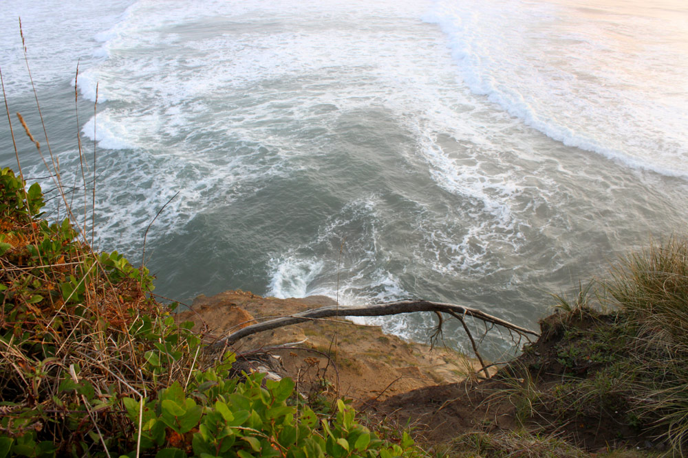
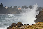
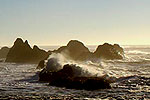
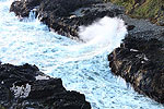
Expect an increase in sneaker waves, making many beaches on the south coast dangerous, especially the smaller ones with no close access to run to. Areas with cliffs behind them instead of foredunes leading to higher ground will be a bad idea.
“Waves can run up significantly farther on a beach than normal, including over rocks and jetties,” the NWS said. “These sneaker waves can suddenly knock people off of their feet and quickly pull them into the cold ocean waters, resulting in serious injury or death.
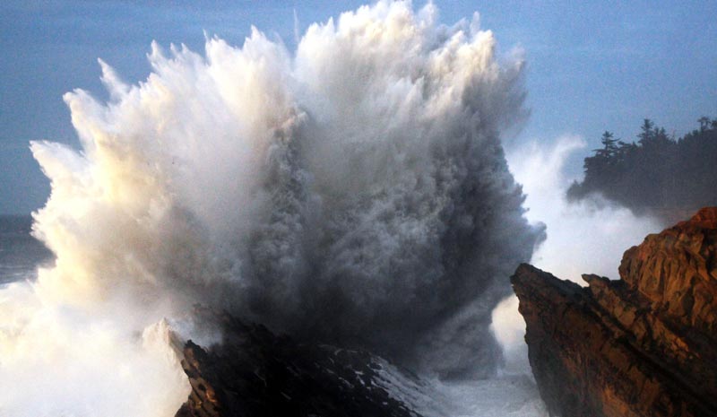
Courtesy Oregon's Adventure Coast
Areas north of Florence are not going to be affected, and will remain safe throughout the week.
More steep seas are expected offshore from the south Oregon coast on Monday, however, leading to some warnings for mariners but not beachgoers.
Yet another set of high wave conditions are coming for the south coast later in the week, however, oddly coinciding with some sunny skies and near-balmy conditions. Wednesday and Thursday look like they will bring more big waves to the southern coast.
See Washington Coast Weather - Oregon Coast Weather
“Another high period swell train will move onshore later on Wednesday into Thursday and will bring at least a moderate risk,” the NWS said. “The risk with this event will be higher than the one Sunday because there should be less interference between the two swell trains present.”
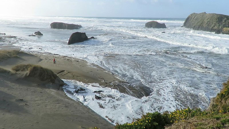
Bandon, courtesy
Gleneda Borton
Yet for the south coast and north coast, pleasant sunny skies are in store for later in the week. After a cold spell and bouts of rain, the entire Oregon coast gets around 70 degrees Wednesday and Thursday, and lots of sunny skies. This happens well into the south Washington coast as well as Seaside, Cannon Beach or Lincoln City. However, Long Beach through Westport will see temps a little cooler on those days.
For the south coast, there's a good, long run of sunny weather starting Tuesday and going through Friday, with temps closer to 70 – except for Gold Beach and Brookings which will end up closer to the mid 70s.
Saturday is another turnaround day for all of the Oregon coast and Washington coast, heading back into colder, wetter weather. Only Wednesday and Thursday promise clearer skies for the coastal regions north of Florence, but the surrounding days are so far predicted to not be crummy.
This translates to sunny skies and warm temps for storm wave conditions on the southern coast, which is a rather oddball but delightful dichotomy.
Oregon Coast Hotels for this event - South Coast Hotels - Where to eat - Maps - Virtual Tours
Cannon Beach Lodging
Nehalem Bay Lodgings
Manzanita Hotels, Lodging
Three Capes Lodging
Pacific City Hotels, Lodging
Lincoln City Lodging
Depoe Bay Lodging
Newport Lodging
Waldport Lodging
Yachats Lodging
Oregon Coast Vacation Rentals
Oregon Coast Lodging Specials
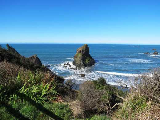
Otter Point near Gold Beach
More About Oregon Coast hotels, lodging.....
More About Oregon Coast Restaurants, Dining.....
 Andre' GW Hagestedt is editor, owner and primary photographer / videographer of Oregon Coast Beach Connection, an online publication that sees over 1 million pageviews per month. He is also author of several books about the coast.
LATEST Related Oregon Coast Articles
Long Beach, Twin Harbors, Copalis, and Mocrocks through April 7. Washington coast events, sciences
Puffins Return to Oregon Coast in Spring 2026: Where to Find Them - Video
April 18, Cannon Beach events; May 2 and weekends, Bandon events, Coos Bay events
Highway 6 to Oregon Coast Gets a Little Work, Some Delays
Rebuild the aging roadway between mileposts 4.4 and 9. Traffic
Yet Another Great Fireball Above Oregon / Washington - And Why So Many Lately
At 8:36 Sat night, with a bright orange. Also, why so many fireballs recently. Astronomy, sciences, weather
Newport's Hatfield Marine Science Day Brings Oregon Coast Up Close and Personal
April 11 is the annual scientific play day. Newport events
Toying with 'Light Orbs' on the Oregon Coast
Wondrous surrealism and photographic experiments in Pacific City, Waldport, Lincoln City
Deceased Whale on Oregon Coast: Scientists May Already Have Clue in Cause of ...
Gray whale in Florence may be connected to 'skinny whales' issue of decade. Marine sciences
Invasive Quagga Mussels Found in Southern Oregon - Have Not Reached Coastline
Came from Arizona, inspections in full force. Ashland, Brookings
Back to Oregon Coast
Contact Advertise on Oregon Coast Beach Connection
All Content, unless otherwise attributed, copyright Oregon Coast Beach Connection. Unauthorized use or publication is not permitted


