Officials Warn of Sneaker Wave Dangers Over Weekend at Washington Coast, Oregon Coast
Published 12/27/2019 at 5:22 AM PDT
By Oregon Coast Beach Connection staff
Includes exclusive listings; some specials in winter
In Cannon Beach:
Includes rentals not listed anywhere else
In Manzanita, Wheeler, Rockaway Beach:
Some specials for winter
In Pacific City, Oceanside:
Some specials for winter
In Lincoln City:
Some specials for winter
In Depoe Bay, Gleneden Beach:
Some specials for winter
In Newport:
Look for some specials
In Waldport
Some specials for winter
In Yachats, Florence
Some specials for winter
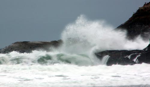
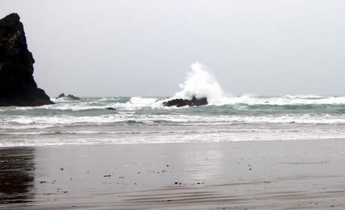
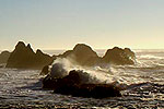
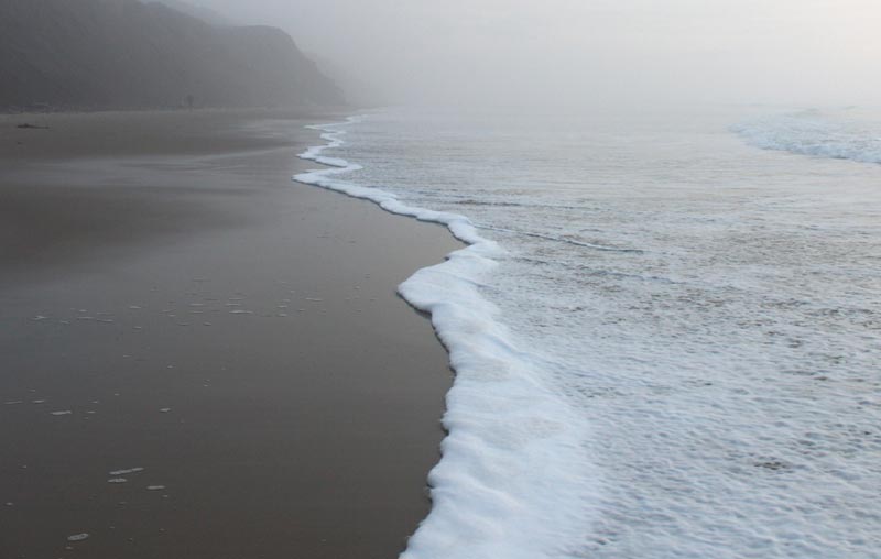
(Manzanita, Oregon) – Both the Washington coast and the Oregon coast have special weather statements issued by the National Weather Service (NWS), warning of the likelihood of sneaker waves on all beaches of both states. The NWS said high seas combined with frigid ocean conditions mean extra dangers.
This weekend's oceanic chaos began late on Thursday and the NWS said conditions like this will linger through Sunday. The words of caution including the southern Oregon coast, such as Brookings, Gold Beach and Coos Bay; up through Yachats, Manzanita, Newport, Lincoln City, Pacific City and Cannon Beach; and into Washington coast towns such as Long Beach, Ocean Shores and La Push.
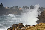
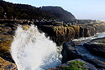
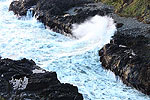
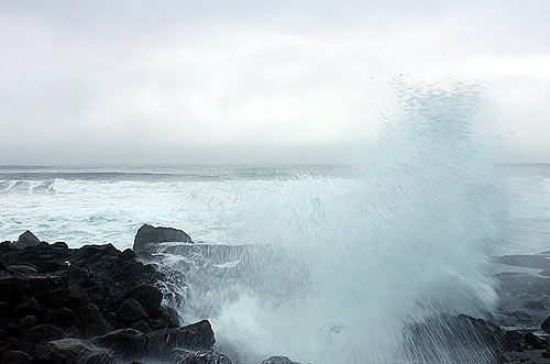
“Increasing waves will create conditions favorable for sneaker waves off the Oregon and Washington coast starting Friday and continuing through the weekend,” the NWS said. “Sneaker waves can knock people off their feet, sweep them into the ocean and shift logs and rocks creating dangerous conditions. Beach visitors need to pay extra attention to approaching waves and NEVER turn your back on the ocean.”
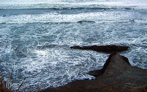
Waves are expected to run significantly farther up beaches than normal at times, including over rocks and jetties. The NWS said this could knock someone over and quickly pull them into the ocean, which is extremely cold right now.
Keep children and pets away from the surf zone, the agency said. Keep off of jetties, rocks and logs near the surf zone. If you see someone swept into the sea do not swim in after them. Call 911 and keep an eye on them until help arrives.
It’s the long period swells that create much of the danger, meaning the longer the space between waves the higher they can pile up together and build into something with enormous energy. This energy then causes waves to charge up beaches faster and further.
On the southern Oregon coast, Friday begins building with combined seas of 12 feet but a long period swell at 17 seconds. It stays in that vicinity until it gains a little on Sunday then begins to subside.
Farther north, around the north and central Oregon coast, waves will be slightly higher and with longer period swells. Friday’s offshore combined seas will be at 16 feet at 16 seconds, dipping somewhat on Saturday, and then raising again just a tad by Sunday.
Up on the southern Washington coast, combined seas will be up around 18 feet with swells at 17 seconds, then continuing to drop a few feet over the weekend.
For the southern Oregon coast, the NWS had some more details for the offshore region.
“Several heavy swell trains will move through the coastal waters over the coming week, bringing periods of steep seas,” the NWS said. “One westerly train is subsiding now, but another northwest swell train will move in Friday, peaking in the afternoon. Another westerly train will build Sunday night, peaking Monday morning. More will follow through the first half of next week. There will be weak fronts moving through as well tonight and Saturday night into Sunday. The latter front will be the strongest one, and it may bring small craft advisory winds to areas north of Cape Blanco. A thermal trough will develop Monday, bringing small craft advisory winds south of Cape Blanco Monday into Tuesday.”
See Washington Coast Weather - Oregon Coast Weather
Cannon Beach Lodging
Nehalem Bay Lodgings
Manzanita Hotels, Lodging
Three Capes Lodging
Pacific City Hotels, Lodging
Lincoln City Lodging
Depoe Bay Lodging
Newport Lodging
Waldport Lodging
Yachats Lodging
Oregon Coast Vacation Rentals
Oregon Coast Lodging Specials
More About Oregon Coast hotels, lodging.....
More About Oregon Coast Restaurants, Dining.....
LATEST Related Oregon Coast Articles
The sixth in the NW in three weeks; early indications suggest it may have been undernourished. Marine sciences
Now Begins the 'Season of Satellites' Above Oregon, Washington: Summer's Surr...
Not even counting meteors, these satellite trains can create wild colors and streaks in the sky. Astronomy, weather. Brookings events, Gold Beach events, Port Orford events, Coos Bay events, Bandon events, Florence events, Yachats events, Newport events, Lincoln City events, Rockaway Beach events, Manzanita events, Cannon Beach events, Seaside events, Astoria events
7-Day Parking Meters Return to Central Oregon Coast Town, and Now to Nye Beac...
Newport?s Bayfront will charge all week, and the Nye Beach Turnaround will now do the same. Travel tips, traffic
87th Annual Azalea Fest Readies Its Return for Memorial Day Weekend on S. Ore...
Brookings brings back the long-running festival over Memorial Day weekend, May 22?25. Brookings events
Harrowing Accident Scene on S. Oregon Coast Turns Into Search for Driver and ...
Sheriffs found an empty vehicle and searched nearly 24 hours before locating the driver. Traffic
Another Dead Whale Stranding, This Time Near Yachats on Central Oregon Coast
Reports differ on whether it was alive at first; scientists are examining the carcass. Marine sciences
Washington Coast Cleanup Scours Inner and Outer Coast, April 25
Volunteers are needed along the outer coast and throughout the Salish Sea. Washington coast events
4th of July at N. Oregon Coast's Sand Lake Now Requires Pre-Sales for Camping...
Congestion and overcrowding in recent years at Sand Lake Recreation Area near Pacific City. Traffic, travel tips
Back to Oregon Coast
Contact Advertise on BeachConnection.net
All Content, unless otherwise attributed, copyright BeachConnection.net Unauthorized use or publication is not permitted


