 |
Weather to Take a Sudden Turn on Oregon Coast, Cascades
Published 10/21/2010

(Oregon Coast) - Did Oregon Coast Beach Connection speak too soon when it came to predictions of awesome weather on Thursday?
You bet. So here’s an update.
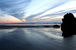
(Above: Near Cannon Beach on Wednesday night. These clouds mean incoming trouble over the next few days, even though the stars are visible).
The National Weather Service (NWS) says the weather pattern will change rather abruptly in the next 24 hours. In fact, conditions went from cloudless to swirling mass of clouds quite quickly late Wednesday night on the north coast, a precursor to what the area – indeed most of Oregon – can expect.
The NWS issued a special weather statement on Wednesday, saying wet and windy conditions are expected by the weekend, with another such storm system right behind it.

Later on Wednesday night: clouds rolled in over a castle-like building just south of Cannon Beach, creating a kind of Transylviania vibe.
“The upper ridge which has given the Pacific Northwest sunny and warm fall weather will shift east Thursday and Thursday night,” the NWS said. “This will allow an increasingly strong westerly jet stream to impact the northwest over the weekend.”
The coast is expected to get hit initially with the first storm, with lots of rain and wind. Indeed, standing on the cliffs overlooking Manzanita was quite the windy experience in the wee hours of Thursday morning, while just a bit north, near Cannon Beach, the wind wasn’t nearly as heavy.
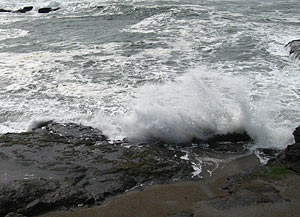 |
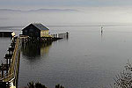
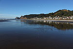
| Yachats |
The coast is expected to stay overcast throughout the day.
A second storm should come in around Saturday morning, bringing heavier rains. A weakening surface low will swing in from the southwest, riding along winds from that direction.
“Computer models show a strong low pressure system developing in the Gulf of Alaska on Saturday, fueled by moisture of tropical origin,” the NWS said. “A very strong westerly jet stream associated with this low is currently expected to push a strong front system into western Oregon and southwest Washington Saturday night."
The NWS said this could bring even heaver rains and wind that night, especially along the coastline.
On top of it all, snow levels may lower in the Cascades of central Oregon and Washington later on Sunday and Monday, yielding significant snow, possibly down to the passes.
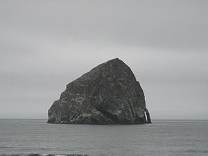 |
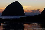
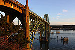
| Pacific City |
“People planning outdoor activities, especially in the mountains and along the coast, should be ready for deteriorating weather,” the NWS said. Heavy rain and gusty winds are expected to dominate the following week.
Full Oregon coast weather here.
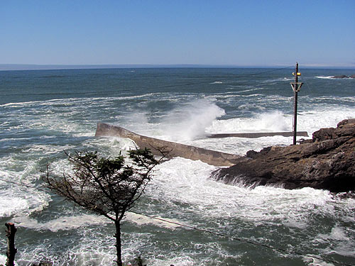
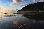
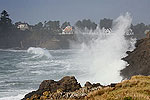
The coming storm systems end a long run of lovely weather on the coast, like above at Depoe Bay
More About Oregon Coast hotels, lodging.....
 |
 |
 |
LATEST OREGON COAST NEWS STORIES
Oregon Coast, Valley and Likely Washington Coast to Get Some Aurora Borealis ... |
Back to Oregon Coast
Contact Advertise on BeachConnection.net
Secrets of the Season |
Unusual Travel Articles TravelParanormal.com allows you to submit your own creepy tale or debunk one - or see up-to-the-minute news headlines about travel and the paranormal. News Headlines from All Over Oregon Need to scan Oregon headlines? Constantly updated news from all over Oregon: a comprehensive, up-to-the-minute display of news headlines from a variety of media |


