Wild, Wet Weekend for Oregon Coast, South Coast Wind Watch - Gusts to 60 mph
Published 03/10/22 at 5:45 PM PST
By Oregon Coast Beach Connection staff
Includes exclusive listings; some specials in winter
In Cannon Beach:
Includes rentals not listed anywhere else
In Manzanita, Wheeler, Rockaway Beach:
Some specials for winter
In Pacific City, Oceanside:
Some specials for winter
In Lincoln City:
Some specials for winter
In Depoe Bay, Gleneden Beach:
Some specials for winter
In Newport:
Look for some specials
In Waldport
Some specials for winter
In Yachats, Florence
Some specials for winter
Southern Oregon Coast Hotels / Lodgings
Reedsport to Brookings, places to stay; winter deals
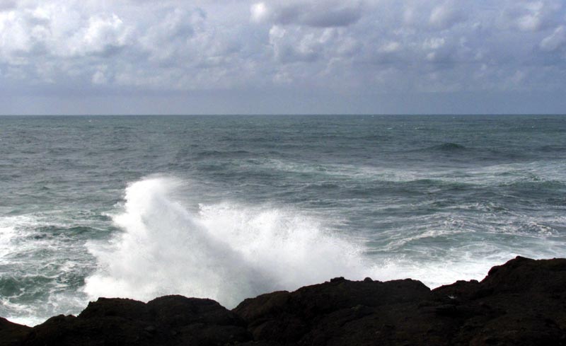
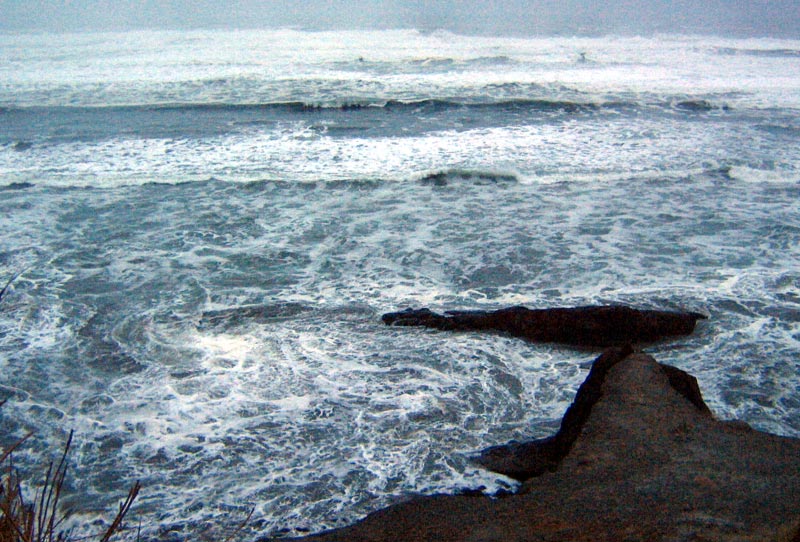
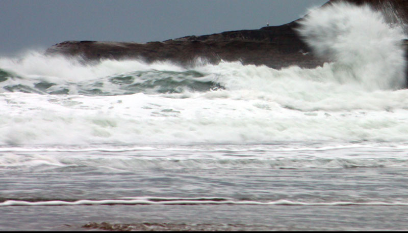
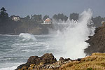
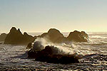
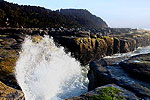
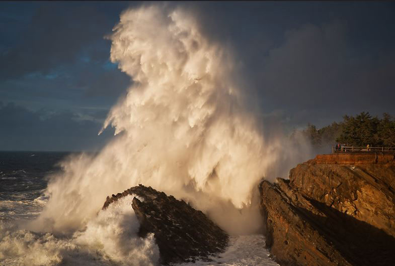
(Oregon Coast) – A whole lotta shakin' will be goin' on along the Oregon coast and Washington coast to some degree, as Saturday brings in some heavy winds to the region, with gusts up to 60 mph in some areas. It'll be like a winter storm out there just as spring starts to creep in. Some heavy seas will be present, especially farther south, making for some spectacular storm watching in many of the usual spots like Yachats, Coos Bay or maybe even Washington coast's Cape Disappointment. (Above: Shore Acres, courtesy Manuela Durson - see Manuela Durson Fine Arts for more)
Meanwhile, the National Weather Service (NWS) has issued a high wind watch for the southern Oregon coast for most of Saturday, with the possibility of sustained south winds around 35 to 45 mph and gusts up to 60 mph. Those could be higher on headlands and beaches in the Curry County coastal area.
For that region around Gold Beach and southward, the strength of winds appear to be looking heavier than up north.
See Oregon Coast Weather - Washington Coast Weather
“Damaging winds could blow down trees and power lines,” the NWS office in Medford said. “Widespread power outages are possible. Travel could be difficult, especially for high profile vehicles.”
The NWS in Portland, which deals with the central Oregon coast up through southern Washington coast, said the forecast models are proving somewhat confusing for wind velocity on the central Oregon coast vs. north coast.
Some models are showing higher wind gusts to the north, as in Seaside, Cannon Beach and Manzanita. Others are tracking higher winds farther south around Newport or Lincoln City. The NWS said one or both areas could be getting gusts up to 60 mph on Saturday or even Sunday.
“All of the above leads to a high level of uncertainty regarding wind potential,” the NWS said.
Currently, the NWS is officially predicting gusts up to 30 or 40 mph on the north and central Oregon coast, but that may change closer to the event.
Rain will certainly be heavy over the weekend, resulting in about an inch of rain in some areas in just one day.
All those large winds offshore will result in some pretty heavy wave action, the NWS said.
“Seas will then begin to build on Saturday, peaking at around 15 to 17 feet as southerly wind waves increase coupled with a westerly swell,” the NWS in Portland said. “A southwesterly fresh swell then moves in behind the low pressure system to maintain seas in the mid to high teens through Sunday.”
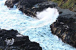
This should translate to some sizable wave drama in rocky areas like the southern Washington coast, Cannon Beach, Manzanita, Oceanside and Depoe Bay.
On the south Oregon coast, the NWS office is also looking at fairly big waves.
“Steep to very steep and hazardous seas are likely as well, and should continue into early next week,” the NWS said. Oregon Coast Hotels for this event - South Coast Hotels - Where to eat - Maps - Virtual Tours
Later on Monday and into the week, sneaker waves may be an issue on the south Oregon coast, as the NWS said 13 to 15-foot waves are likely with a long period between swells of 16 to 18 seconds. That is a recipe for sneaker waves, as well as great action in places like Meyers Beach or Shore Acres near Coos bay.
Cannon Beach Lodging
Nehalem Bay Lodgings
Manzanita Hotels, Lodging
Three Capes Lodging
Pacific City Hotels, Lodging
Lincoln City Lodging
Depoe Bay Lodging
Newport Lodging
Waldport Lodging
Yachats Lodging
Oregon Coast Vacation Rentals
Oregon Coast Lodging Specials
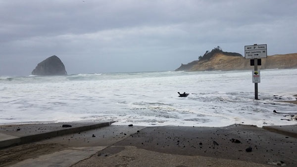
Photo courtesy Oregon State Parks
More About Oregon Coast hotels, lodging.....
More About Oregon Coast Restaurants, Dining.....
LATEST Related Oregon Coast Articles
Not even counting meteors, these satellite trains can create wild colors and streaks in the sky. Astronomy, weather. Brookings events, Gold Beach events, Port Orford events, Coos Bay events, Bandon events, Florence events, Yachats events, Newport events, Lincoln City events, Rockaway Beach events, Manzanita events, Cannon Beach events, Seaside events, Astoria events
Washington Coast Cleanup Scours Inner and Outer Coast, April 25
Volunteers are needed along the outer coast and throughout the Salish Sea. Washington coast events
Now You Can Track Landslide Work on Oregon Coast's Hwy 229
OR229 near Lincoln City is still closed indefinitely. Traffic
Oregon Spring Cleanup Needs Volunteers for Coast, Inland - All Through April
SOLVE is expanding its largest spring volunteer effort. Brookings events, Gold Beach events, Port Orford events, Coos Bay events, Bandon events, Florence events, Yachats events, Newport events, Lincoln City events, Rockaway Beach events, Manzanita events, Cannon Beach events, Seaside events, Astoria events
Newport's Oregon Coast Jazz Party Announces Dates, New Director
2026 Jazz Party, set for October 2 - 4 at the Newport Performing Arts Center. Newport events
Destructive Road Rage in NW Oregon and South Coast Case End Horribly for Dogs
Dog in Coos Bay shot and left for dead. Hillsboro vehicle kills dog in bizarre act of road rage. Crime, safety
'Secret Season' on Oregon Coast: April and May's Unique Aspects
Whales, the most photogenic skies of the year, wild foam and minus tides. Weather, marine sciences, travel tips, traffic
7-Day Parking Meters Return to Central Oregon Coast Town, and Now to Nye Beac...
Newport?s Bayfront will charge all week, and the Nye Beach Turnaround will now do the same. Travel tips, traffic
Back to Oregon Coast
Contact Advertise on BeachConnection.net
All Content, unless otherwise attributed, copyright BeachConnection.net Unauthorized use or publication is not permitted


