Will It Snow on Oregon / Washington Coast? Yer Darn Tootin.' Winds Too
Published 1/12/24 at 5:45 p.m.
By Oregon Coast Beach Connection staff
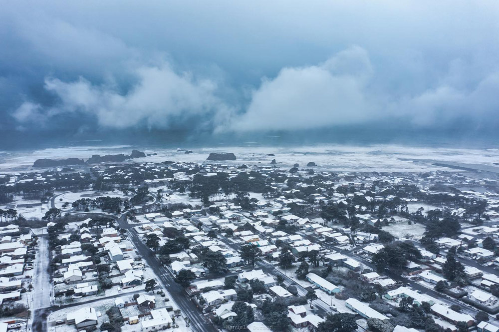
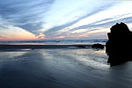
(Oregon Coast) – If you enjoy things snow shutting down travel, roads becoming ice rinks and maybe even your favorite coffee shop shut down due to white conditions, then this is the weekend for you. (Above: Bandon, Manuela Durson - see Manuela Durson Fine Arts for more)
Includes exclusive listings; some specials in winter
In Cannon Beach:
Includes rentals not listed anywhere else
In Manzanita, Wheeler, Rockaway Beach:
Some specials for winter
In Pacific City, Oceanside:
Some specials for winter
In Lincoln City:
Some specials for winter
In Depoe Bay, Gleneden Beach:
Some specials for winter
In Newport:
Look for some specials
In Waldport
Some specials for winter
In Yachats, Florence
Some specials for winter
Southern Oregon Coast Hotels / Lodgings
Reedsport to Brookings, places to stay; winter deals
For the rest of us, the incoming snow and ice are reasons to hunker down, with what appears to luckily be a one-day event. Most of the Oregon coastline and south Washington coast are under an unusual winter weather advisory from now through Saturday night, with one to four inches of snow expected in the Oregon Coast Range but more of an ice problem on the beaches – along with some snow.
The advisories do exclude some areas, including south of Port Orford. South of Florence through Coos Bay may well be looking at much less ice, but from Yachats through to Westport the beaches will be getting a good dusting and some icy roads to watch out for. That includes Seaside, Cannon Beach, Manzanita, Pacific City, Lincoln City, Newport and Bandon.
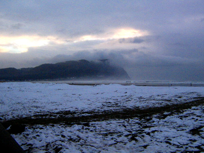
From Salem through to Eugene is predicted to get the worst of it, with sizable freezing rain. Portland will see plenty of snow all over its city streets, and there may be loads of unpleasantries for that region as well.
Higher elevations such as the Cascade mountains are looking at 25-degree-below wind chill factors.
This is why much of the inland region is under warnings for ice storms, blizzards or winter weather.
For the coastline, however, it's a winter weather advisory from the National Weather Service (NWS).
“Mixed precipitation expected,” the NWS said. “Total snow accumulations of up to one inch and ice accumulations of around one to three tenths of an inch. Greatest amounts of ice accumulation expected from Tillamook to Lincoln City. Little to no ice at all south of Yachats, as temperatures from Florence to Yachats are expected to stay slightly above freezing.”
See Washington Coast Weather - Oregon Coast Weather
Wind gusts of 40 to 45 mph in some areas will make this extra unpleasant on the beaches.
The timing of all this is not bad, considering it happens mostly on Saturday. The NWS said temps are already below freezing at this time in most areas, and as a moist system moves in late tonight so does the snow and ice.
What happens next is a bit up in the air, although forecasts are leaning towards more dry conditions and it's likely this snow event dissipates by Sunday morning. Forecasters do know that temps will not warm up until Tuesday or so.
Watch Beach Snow: a Large List of Oregon Coast Webcams
“While confidence is high for a prolonged period of widespread below freezing temperatures beginning Friday night and continuing through at least Tuesday morning, confidence remains low regarding exact snow and ice amounts Friday night through Saturday night, even this close to the event,” NWS said.
Oregon Coast Hotels for this event - South Coast Hotels - Where to eat - Maps - Virtual Tours
Cannon Beach Lodging
Nehalem Bay Lodgings
Manzanita Hotels, Lodging
Three Capes Lodging
Pacific City Hotels, Lodging
Lincoln City Lodging
Depoe Bay Lodging
Newport Lodging
Waldport Lodging
Yachats Lodging
Oregon Coast Vacation Rentals
Oregon Coast Lodging Specials
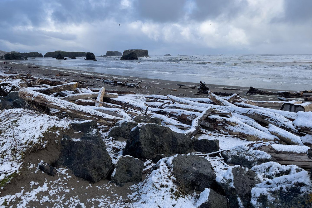
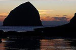
Bandon, Manuela Durson - see Manuela Durson Fine Arts for more
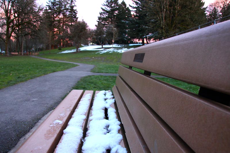
Portland - Oregon Coast Beach Connection photo
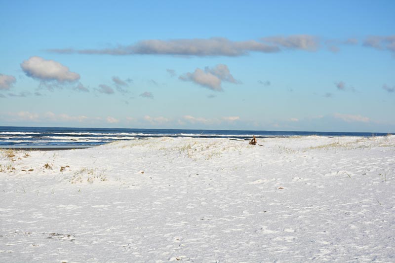
Seaside Aquarium
More About Oregon Coast hotels, lodging.....
More About Oregon Coast Restaurants, Dining.....
 Andre' GW Hagestedt is editor, owner and primary photographer / videographer of Oregon Coast Beach Connection, an online publication that sees over 1 million pageviews per month. He is also author of several books about the coast.
LATEST Related Oregon Coast Articles
Gnarly Lancetfish Found on N. Oregon Coast - and No, It's Not a BarracudaFound in Seaside still intact, they were able to examine it. Marine sciences, Seaside Aquarium
Winema Wayfinding Point or Pacific Crest Wayside: an Oregon Coast Puzzle
Between Neskowin and Pacific City sits a viewpoint with two names. Travel tips
Goonies 40th Anniversary Bash on N. Oregon Coast Lets You Inside House, Immer...
June 5 - 8 in Astoria and a bit in Cannon Beach. Astoria events, Seaside events, Cannon Beach events
Astoria's Crab, Seafood, Wine Fest Floods N. Oregon Coast with Yumminess in A...
April 25 to 27 at the Clatsop County Fairgrounds. Astoria events, Cannon Beach events
Coos Bay in Summer 2025: Includes History Talk, Oregon Coast Music Festival, ...
Coos Museum Tuesday Talk June 3; Oregon Coast Music Festival Bandon to Coos Bay, July 12 to 26; North Bend July Jubilee July 18 - 20. South Coast events
Famed Washed Ashore Project Will Be New Exhibit at Newport's Oregon Coast Aqu...
The unique exhibit of animals made from debris begins in May. Newport events, Lincoln City events
Oregon Coast Town Celebrates 25 Years of Lincoln City Glass Floats - Special ...
April 26 brings a festival to Taf: what special glass float drops are coming. Lincoln City events
Oregon State Parks Day on June 7: Free Parking and Events on Coast, Inland
Hikes, talks, BBQ, disc golf and even astronomy. Sciences, south coast events, Florence events, Astoria events, Seaside events, Cannon Beach events, Manzanita events, Rockaway Beach events, Tillamook events, Garibaldi events, Oceanside events, Pacific City events, Lincoln City events, Depoe Bay events, Newport events, Waldport events, Newport events, Yachats events, Brookings, Coos Bay, Reedsport
Back to Oregon Coast
Contact Advertise on Oregon Coast Beach Connection
All Content, unless otherwise attributed, copyright Oregon Coast Beach Connection. Unauthorized use or publication is not permitted


