Gargantuan Waves All Week on Oregon Coast; High Wind Warning Sun. Night
Published 11/19/2017 at 3:15 PM PDT - Updated 11/19/2017 at 4:05 PM PDT
By Oregon Coast Beach Connection staff
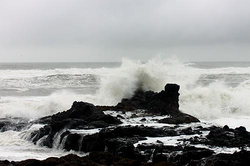
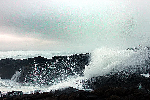
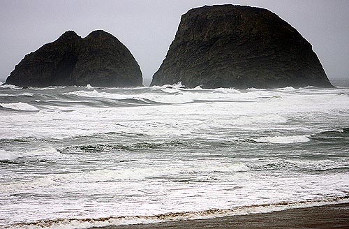
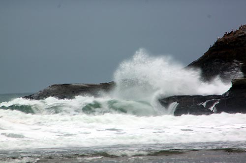
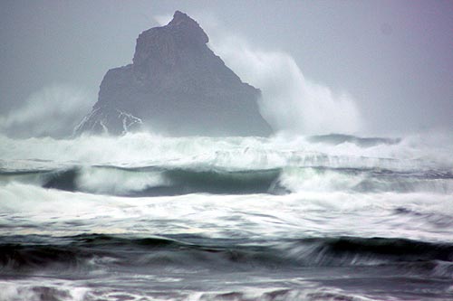
(Oregon Coast) – Look for high winds tonight along the Oregon coast as well as mammoth surf, as the north and central coast are under a high wind warning. The rest of the week will remain rainy and sometimes fairly windy, with somewhat large wave action all the way through Thanksgiving.
The National Weather Service (NWS) issued the high wind warning, in effect from 4 p.m. Sunday (today) through 3 a.m. Monday morning. Winds near beaches and headlands with gusts up to 60 mph are expected, with sustained winds near 35 mph. In coastal communities, look for south winds 15 to 25 mph and gusts up to 45 mph.
On the northern Oregon coast, the strongest winds will be pummeling through about 6 p.m. to 10 p.m., while on the central coast it will be 8 p.m. to midnight.
Includes exclusive listings; some specials in winter
In Cannon Beach:
Includes rentals not listed anywhere else
In Manzanita, Wheeler, Rockaway Beach:
Some specials for winter
In Pacific City, Oceanside:
Some specials for winter
In Lincoln City:
Some specials for winter
In Depoe Bay, Gleneden Beach:
Some specials for winter
In Newport:
Look for some specials
In Waldport
Some specials for winter
In Yachats, Florence
Some specials for winter
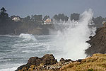
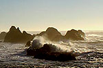
Ocean waves will be gargantuan later tonight, building to 20-foot waves at one point then subsiding to 15 feet after midnight. The rest of the week – until Friday – big waves in the teens will be the norm, often around 17 feet. This will mean a good, stormy show for much of the week, especially on rocky surfaces like those at Yachats, Oceanside, Cape Kiwanda, Depoe Bay or just south of Yachats. While jetties will be fun to watch, only do so from afar and stay well clear of them and all rocky surfaces. Stick to watching from safe vantage points such as parking lots.
All this likely brings some excellent storm debris finds along the beaches for those beachcombing over the Thanksgiving weekend, and some good erosion. Some gravel beds will likely open up, making for decent agate hunting – albeit in rainy conditions.
The wave action does not subside until Friday, so stay away from smaller beaches until then. Oregon Coast Lodgings for this event - Where to eat - Maps - Virtual Tours
“The upcoming week looks unsettled and wet,” the NWS said. “A cold front will slowly move onto the north coastal areas this afternoon and through the remainder of southwest Washington and northwest Oregon tonight and Monday, stalling and weakening over the southern part of the forecast area Monday afternoon. The front then lifts back north across the forecast area as a warm front Monday night and Tuesday. The front will linger over the area into Wednesday. Another cold front will move through on Thanksgiving with showers lingering into Friday but decreasing later in the day. The next system is expected Saturday night and Sunday.”
Fascinating finds were made on the beaches earlier this week after recent storms, including the unusually early appearance of velella velella and pyrosomes. See article for more details. - Keep an eye Oregon Coast Weather and surf conditions.
Cannon Beach Lodging
Nehalem Bay Lodgings
Manzanita Hotels, Lodging
Three Capes Lodging
Pacific City Hotels, Lodging
Lincoln City Lodging
Depoe Bay Lodging
Newport Lodging
Waldport Lodging
Yachats Lodging
Oregon Coast Vacation Rentals
Oregon Coast Lodging Specials
More About Oregon Coast hotels, lodging.....
More About Oregon Coast Restaurants, Dining.....
LATEST Related Oregon Coast Articles
Likely just before dawn best hour but peak happens during daylight. Weather
Dark Sky Week is Prime Along Oregon Coast: Where and Where Not to Go
General guide to dark sky viewing from south to north coast. Astronomy
Sizable Price Drop, Deals in Lincoln City During Quiet of April on Central Or...
20 perc off at A1 Vacation Rentals across its roster, including Gleneden Beach. Lincoln City specials
Upcoming S. Oregon Coast Events Include Gem Show, History: Coos Bay, Bandon
May 6 talk at Coos History Museum, Mayfly Fest May 17, Bandon Rock / Gem Show June 7,8
Washington Coast Cleanup on April 19 - Coinciding with Oregon Coast's SOLVE E...
From the Puget Sound to Long Beach, alongside Oregon's cleanup. Washington coast events, Seaside events
Astoria's Riverwalk Gets New Lighting, More N. Oregon Coast Roadwork
Delays coming this summer, but the riverwalk has a new look. Seaside, Cannn Beach
April Gets Even Cheaper Midweek at Depoe Bay, Lincoln City: Oregon Coast Deals
Off-season rates plus more at Keystone Vacation Rentals. Depoe Bay lodging specials, Lincoln City hotel reviews, Newport hotel reviews
Washington Coast Begins Week of Clam Digs, April 12 Through 18
Long Beach, Twin Harbors, Mocrocks and Copalis at different times. Washington coast events
Back to Oregon Coast
Contact Advertise on BeachConnection.net
All Content, unless otherwise attributed, copyright BeachConnection.net Unauthorized use or publication is not permitted


